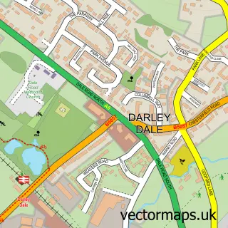
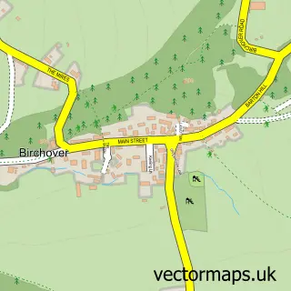
This Rowsley street map is a detailed vector street map covering a 750m x 750m area. Select a larger area to create and download your own vector street map of Rowsley.
The 750-metre map sample for Rowsley covers 126 mapped buildings and approximately 18.1 km of road detail, of which 14 named roads are named. The immediate area includes 1 school, 2 pubs and 1 MOT station, with 2 within 2 miles. The wider area around Rowsley features 2 tourism points of interest, 4 food and drink venues and 1 hotel. To create a larger or custom map of Rowsley, the map builder lets you define your own coverage area and download editable SVG, PDF and PNG files.
Create a larger editable map of Rowsley
Choose any area you need and generate a high-quality vector map instantly. Perfect for print, planning, design, business and personal use.

This Rowsley street map in Derbyshire is available as downloadable SVG, PDF and PNG map files, or as a printed map for planning, business, display, education, local information and design work. You can also create a larger custom map area using the map selector.
What this Rowsley map sample shows
Rowsley lies within Rowsley Cp parish, part of Stanton ward in the Derbyshire Dales District local authority area. The postcode geography for this area includes the DE postcode area, the DE4 postcode district and the DE4 2 postcode sector. Residents fall under the Nhs Derby And Derbyshire Integrated Care Board for NHS services.
Local features near Rowsley
Within 2 milesAmenities and services in and around Rowsley.
Administrative and postcode information for Rowsley
Rowsley lies within Rowsley Cp parish, part of Stanton ward in the Derbyshire Dales District local authority area. The postcode geography for this area includes the DE postcode area, the DE4 postcode district and the DE4 2 postcode sector. Residents fall under the Nhs Derby And Derbyshire Integrated Care Board for NHS services.
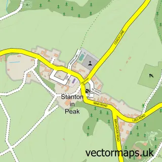
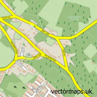
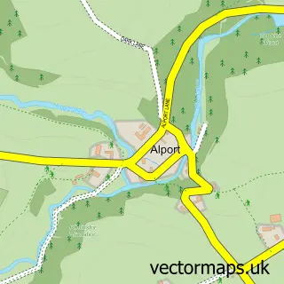
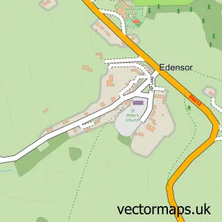
Nearby street map samples around Rowsley

More street maps in Derbyshire
750 metre map area coverage
Boundary, postcode and point of interest information for the 750m x 750m rectangle centred on this sample map.
Boundaries containing map centre
Constituency: Derbyshire Dales Co Const
County: Derbyshire County
District: Derbyshire Dales District
Icb: NHS Derby and Derbyshire ICB
Parish: Rowsley CP
Police Force: derbyshire
Postcode District: DE4
Postcode Sector: DE4 2
Ward: Chatsworth Ward
Nearby boundaries intersecting sample
No additional intersecting boundaries found.
Postcode coverage
POI category counts
Bed And Breakfast: 6
Clothing Store: 5
Art Gallery: 4
Furniture Store: 3
Auction House: 2
Childrens Clothing Store: 2
Post Office: 2
Pub: 2
Quarries: 2
Restaurant: 2
Sample points of interest
- St Katherine, Rowsley
- Caudwell's Mill & Craft Centre
- Gallerytop Contemporary Art
- Gallerytop Ltd.
- Millyard_studiogallery
- K Needham Restorations
- Woodland Ways
- Bamfords Auction House
- Bamfords Auctioneers & Valuers
- T W Auto Engineers
- Lambs Cakes
- Fern Bank
Create a larger editable map of Rowsley
This sample shows only a 750 metre area. To create a larger map of Rowsley, use our map builder to choose your own coverage area, add titles and download editable SVG, PDF and PNG files.
Create a custom map of Rowsley