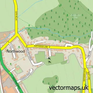
This Birchover street map is a detailed vector street map covering a 750m x 750m area. Select a larger area to create and download your own vector street map of Birchover.
The 750-metre map sample for Birchover covers 109 mapped buildings and approximately 15.5 km of road detail, of which 9 named roads are named. The immediate area includes 3 pubs and 1 MOT station within 2 miles. The wider area around Birchover features 1 tourism point of interest, 3 food and drink venues and 1 campsite within 2 miles. To create a larger or custom map of Birchover, the map builder lets you define your own coverage area and download editable SVG, PDF and PNG files.
Create a larger editable map of Birchover
Choose any area you need and generate a high-quality vector map instantly. Perfect for print, planning, design, business and personal use.

This Birchover street map in Derbyshire is available as downloadable SVG, PDF and PNG map files, or as a printed map for planning, business, display, education, local information and design work. You can also create a larger custom map area using the map selector.
What this Birchover map sample shows
Birchover lies within Birchover Cp parish, part of Stanton ward in the Derbyshire Dales District local authority area. The postcode geography for this area includes the DE postcode area, the DE4 postcode district and the DE4 2 postcode sector. Residents fall under the Nhs Derby And Derbyshire Integrated Care Board for NHS services.
Local features near Birchover
Within 2 milesAmenities and services in and around Birchover.
Administrative and postcode information for Birchover
Birchover lies within Birchover Cp parish, part of Stanton ward in the Derbyshire Dales District local authority area. The postcode geography for this area includes the DE postcode area, the DE4 postcode district and the DE4 2 postcode sector. Residents fall under the Nhs Derby And Derbyshire Integrated Care Board for NHS services.
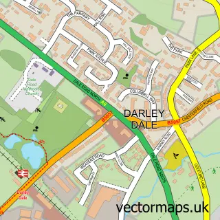
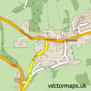
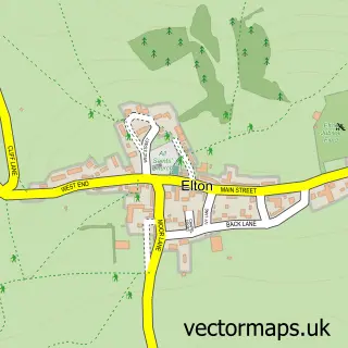
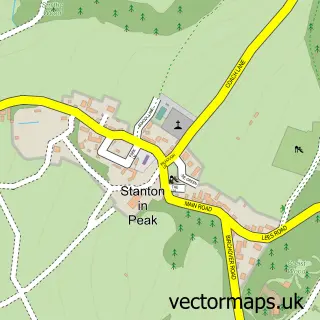
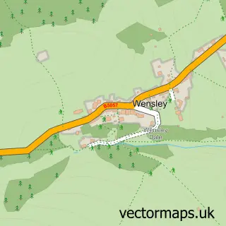
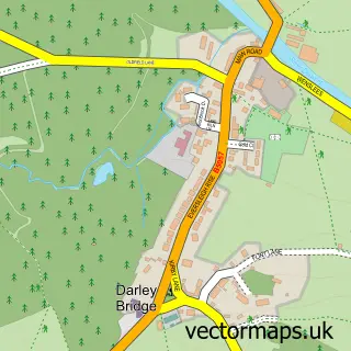
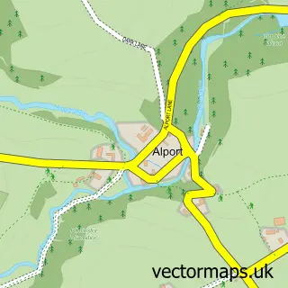
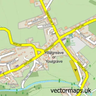
Nearby street map samples around Birchover

More street maps in Derbyshire
750 metre map area coverage
Boundary, postcode and point of interest information for the 750m x 750m rectangle centred on this sample map.
Boundaries containing map centre
Constituency: Derbyshire Dales Co Const
County: Derbyshire County
District: Derbyshire Dales District
Icb: NHS Derby and Derbyshire ICB
Parish: Birchover CP
Police Force: derbyshire
Postcode District: DE4
Postcode Sector: DE4 2
Ward: Youlgrave Ward
Nearby boundaries intersecting sample
No additional intersecting boundaries found.
Postcode coverage
POI category counts
Pub: 3
Holiday Rental Home: 2
Anglican Church: 1
Bicycle Shop: 1
Brewery: 1
Bus Service: 1
Cave: 1
Church Cathedral: 1
Nail Salon: 1
National Park: 1
Sample points of interest
- St Michael's Church, Birchover
- Peak Cycles
- Birchover brewery
- DJG Taxis
- Druids Caves
- Saint Michael's Church
- Carpenters Cottage, Elton in the Peak District
- Croft Bungalow Accessible holiday let Peak District
- Manicure Masterpieces
- Rowtor Rocks
- Green Farm Plants & Herbs
- Red Lion Birchover
Create a larger editable map of Birchover
This sample shows only a 750 metre area. To create a larger map of Birchover, use our map builder to choose your own coverage area, add titles and download editable SVG, PDF and PNG files.
Create a custom map of Birchover