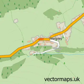
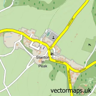
This Darley Bridge street map is a detailed vector street map covering a 750m x 750m area. Select a larger area to create and download your own vector street map of Darley Bridge.
The 750-metre map sample for Darley Bridge covers 123 mapped buildings and approximately 11.6 km of road detail, of which 9 named roads are named. The immediate area includes 1 school, 1 GP surgery within 2 miles, 2 pubs and 4 MOT stations within 2 miles. The wider area around Darley Bridge features 1 tourism point of interest, 2 food and drink venues and 1 campsite within 2 miles. To create a larger or custom map of Darley Bridge, the map builder lets you define your own coverage area and download editable SVG, PDF and PNG files.
Create a larger editable map of Darley Bridge
Choose any area you need and generate a high-quality vector map instantly. Perfect for print, planning, design, business and personal use.

This Darley Bridge street map in Derbyshire is available as downloadable SVG, PDF and PNG map files, or as a printed map for planning, business, display, education, local information and design work. You can also create a larger custom map area using the map selector.
What this Darley Bridge map sample shows
Darley Bridge lies within South Darley Cp parish, part of Winster And South Darley ward in the Derbyshire Dales District local authority area. The postcode geography for this area includes the DE postcode area, the DE4 postcode district and the DE4 2 postcode sector. Residents fall under the Nhs Derby And Derbyshire Integrated Care Board for NHS services.
Local features near Darley Bridge
Within 2 milesAmenities and services in and around Darley Bridge.
Administrative and postcode information for Darley Bridge
Darley Bridge lies within South Darley Cp parish, part of Winster And South Darley ward in the Derbyshire Dales District local authority area. The postcode geography for this area includes the DE postcode area, the DE4 postcode district and the DE4 2 postcode sector. Residents fall under the Nhs Derby And Derbyshire Integrated Care Board for NHS services.
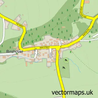
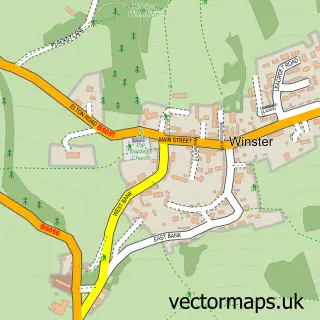
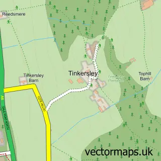
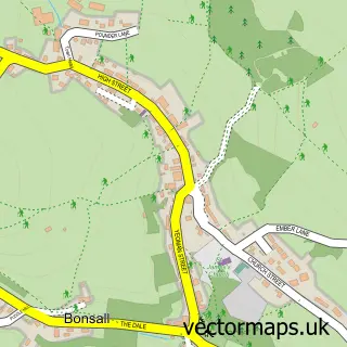
Nearby street map samples around Darley Bridge

More street maps in Derbyshire
750 metre map area coverage
Boundary, postcode and point of interest information for the 750m x 750m rectangle centred on this sample map.
Boundaries containing map centre
Constituency: Derbyshire Dales Co Const
County: Derbyshire County
District: Derbyshire Dales District
Icb: NHS Derby and Derbyshire ICB
Parish: South Darley CP
Police Force: derbyshire
Postcode District: DE4
Postcode Sector: DE4 2
Ward: Bonsall & Winster Ward
Nearby boundaries intersecting sample
Parish: Darley Dale CP
Ward: Darley Dale Ward
Postcode coverage
POI category counts
Pub: 2
Active Life: 1
Anglican Church: 1
Archery Range: 1
Church Cathedral: 1
Community Center: 1
Elementary School: 1
Freight And Cargo Service: 1
Land Surveying: 1
Landmark And Historical Building: 1
Sample points of interest
- Oker Hill
- St Mary the Virgin
- Derwent Bowmen Archery Club
- St Mary the Virgin's Church
- South Darley Village Hall
- South Darley C of E Primary School
- B J Waters Transport
- YBC Chartered Surveyors
- Darley Bridge
- Skypets Pets Emigration
- Square and Compass
- Three Stags Heads Darley Bridge
Create a larger editable map of Darley Bridge
This sample shows only a 750 metre area. To create a larger map of Darley Bridge, use our map builder to choose your own coverage area, add titles and download editable SVG, PDF and PNG files.
Create a custom map of Darley Bridge