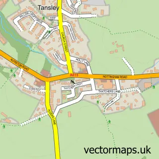
This Bonsall street map is a detailed vector street map covering a 750m x 750m area. Select a larger area to create and download your own vector street map of Bonsall.
The 750-metre map sample for Bonsall covers 156 mapped buildings and approximately 12.4 km of road detail, of which 10 named roads are named. The immediate area includes 1 school, 1 GP surgery within 2 miles, 3 pubs and 6 MOT stations within 2 miles. The wider area around Bonsall features 1 tourism point of interest, 3 food and drink venues and 1 hotel. To create a larger or custom map of Bonsall, the map builder lets you define your own coverage area and download editable SVG, PDF and PNG files.
Create a larger editable map of Bonsall
Choose any area you need and generate a high-quality vector map instantly. Perfect for print, planning, design, business and personal use.

This Bonsall street map in Derbyshire is available as downloadable SVG, PDF and PNG map files, or as a printed map for planning, business, display, education, local information and design work. You can also create a larger custom map area using the map selector.
What this Bonsall map sample shows
Bonsall lies within Bonsall Cp parish, part of Masson ward in the Derbyshire Dales District local authority area. The postcode geography for this area includes the DE postcode area, the DE4 postcode district and the DE4 2 postcode sector. Residents fall under the Nhs Derby And Derbyshire Integrated Care Board for NHS services.
Local features near Bonsall
Within 2 milesAmenities and services in and around Bonsall.
Administrative and postcode information for Bonsall
The local authority covering Bonsall is Derbyshire Dales District, within the county of Derbyshire. The settlement lies within Masson ward and Bonsall Cp civil parish. The DE4 postcode district and DE4 2 postcode sector serve the immediate area. NHS provision in the area is delivered through Chesterfield Royal Hospital Nhs Foundation Trust.
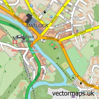
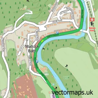
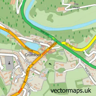
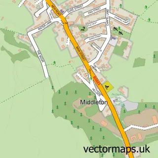
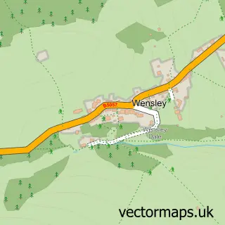
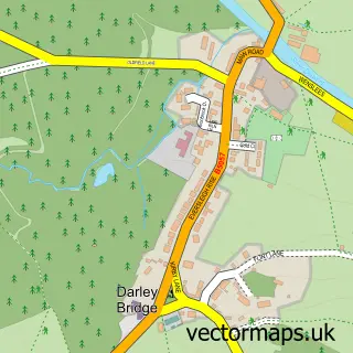
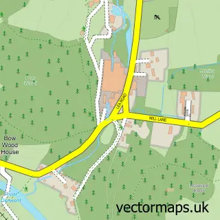
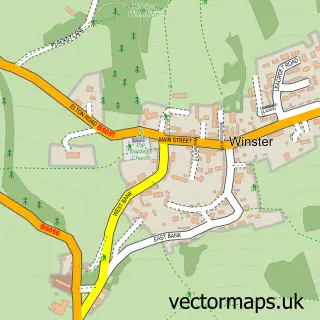
Nearby street map samples around Bonsall

More street maps in Derbyshire
750 metre map area coverage
Boundary, postcode and point of interest information for the 750m x 750m rectangle centred on this sample map.
Boundaries containing map centre
Constituency: Derbyshire Dales Co Const
County: Derbyshire County
District: Derbyshire Dales District
Icb: NHS Derby and Derbyshire ICB
Parish: Bonsall CP
Police Force: derbyshire
Postcode District: DE4
Postcode Sector: DE4 2
Ward: Bonsall & Winster Ward
Nearby boundaries intersecting sample
No additional intersecting boundaries found.
Postcode coverage
POI category counts
Pub: 3
Cottage: 2
Holiday Rental Home: 2
Anglican Church: 1
Automotive Repair: 1
Bed And Breakfast: 1
Building Supply Store: 1
Church Cathedral: 1
Contractor: 1
Delicatessen: 1
Sample points of interest
- St James Apostle, Bonsall
- Auto Engineering
- Townhead Farmhouse
- Strange H & Sons
- St James the Apostle's Church
- North Fencing
- Penny Cottage, Bonsall
- Poppy Cottage
- The Fountain Store and Deli
- Bonsall CE Primary School
- Sycamore Cottage Bonsall
- Wooley Pingle Shepherd's Hut
Create a larger editable map of Bonsall
This sample shows only a 750 metre area. To create a larger map of Bonsall, use our map builder to choose your own coverage area, add titles and download editable SVG, PDF and PNG files.
Create a custom map of Bonsall