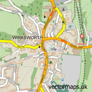
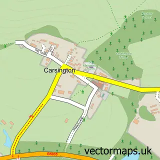
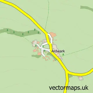
This Middleton street map is a detailed vector street map covering a 750m x 750m area. Select a larger area to create and download your own vector street map of Middleton.
The 750-metre map sample for Middleton covers 230 mapped buildings and approximately 10.0 km of road detail, of which 19 named roads are named. The immediate area includes 1 school, 1 GP surgery within 2 miles, 1 pub and 5 MOT stations within 2 miles. The wider area around Middleton features 2 food and drink venues. To create a larger or custom map of Middleton, the map builder lets you define your own coverage area and download editable SVG, PDF and PNG files.
Create a larger editable map of Middleton
Choose any area you need and generate a high-quality vector map instantly. Perfect for print, planning, design, business and personal use.

This Middleton street map in Derbyshire is available as downloadable SVG, PDF and PNG map files, or as a printed map for planning, business, display, education, local information and design work. You can also create a larger custom map area using the map selector.
What this Middleton map sample shows
Middleton lies within Middleton Cp parish, part of Wirksworth ward in the Derbyshire Dales District local authority area. The postcode geography for this area includes the DE postcode area, the DE4 postcode district and the DE4 4 postcode sector. Residents fall under the Nhs Derby And Derbyshire Integrated Care Board for NHS services.
Local features near Middleton
Within 2 milesAmenities and services in and around Middleton.
Administrative and postcode information for Middleton
Middleton lies within Middleton Cp parish, part of Wirksworth ward in the Derbyshire Dales District local authority area. The postcode geography for this area includes the DE postcode area, the DE4 postcode district and the DE4 4 postcode sector. Residents fall under the Nhs Derby And Derbyshire Integrated Care Board for NHS services.
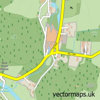
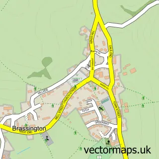
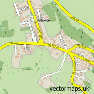
Nearby street map samples around Middleton

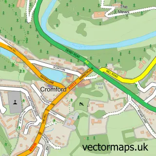
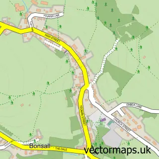
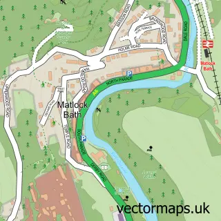
More street maps in Derbyshire
750 metre map area coverage
Boundary, postcode and point of interest information for the 750m x 750m rectangle centred on this sample map.
Boundaries containing map centre
Constituency: Derbyshire Dales Co Const
County: Derbyshire County
District: Derbyshire Dales District
Icb: NHS Derby and Derbyshire ICB
Parish: Middleton CP
Police Force: derbyshire
Postcode District: DE4
Postcode Sector: DE4 4
Ward: Wirksworth Ward
Nearby boundaries intersecting sample
No additional intersecting boundaries found.
Postcode coverage
POI category counts
Professional Services: 3
Building Supply Store: 2
Accommodation: 1
Active Life: 1
Anglican Church: 1
Antique Store: 1
Audiovisual Equipment Rental: 1
Charity Organization: 1
Chimney Sweep: 1
Cinema: 1
Sample points of interest
- Character apartment in The Derbyshire Dales / Peak District
- T'Owd Man Border Morris
- Holy Trinity, Middleton
- Peter Bunting Antiques
- Electrify Sound
- Birchover Reclamation
- D S Insulations
- Middleton by Wirksworth Recreation Ground
- Gary Beech Chimney Sweep
- Cinema Middleton
- Middleton Village Hall
- Peak District Mines Historical Society
Create a larger editable map of Middleton
This sample shows only a 750 metre area. To create a larger map of Middleton, use our map builder to choose your own coverage area, add titles and download editable SVG, PDF and PNG files.
Create a custom map of Middleton