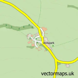
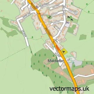
This Brassington street map is a detailed vector street map covering a 750m x 750m area. Select a larger area to create and download your own vector street map of Brassington.
The 750-metre map sample for Brassington covers 177 mapped buildings and approximately 18.1 km of road detail, of which 19 named roads are named. The immediate area includes 1 school and 3 pubs. The wider area around Brassington features 3 food and drink venues and 1 hotel. To create a larger or custom map of Brassington, the map builder lets you define your own coverage area and download editable SVG, PDF and PNG files.
Create a larger editable map of Brassington
Choose any area you need and generate a high-quality vector map instantly. Perfect for print, planning, design, business and personal use.

This Brassington street map in Derbyshire is available as downloadable SVG, PDF and PNG map files, or as a printed map for planning, business, display, education, local information and design work. You can also create a larger custom map area using the map selector.
What this Brassington map sample shows
Brassington lies within Brassington Cp parish, part of Carsington Water ward in the Derbyshire Dales District local authority area. The postcode geography for this area includes the DE postcode area, the DE4 postcode district and the DE4 4 postcode sector. Residents fall under the Nhs Derby And Derbyshire Integrated Care Board for NHS services.
Local features near Brassington
Within 2 milesAmenities and services in and around Brassington.
Administrative and postcode information for Brassington
The local authority covering Brassington is Derbyshire Dales District, within the county of Derbyshire. The settlement lies within Carsington Water ward and Brassington Cp civil parish. The DE4 postcode district and DE4 4 postcode sector serve the immediate area. NHS provision in the area is delivered through University Hospitals Of Derby And Burton Nhs Foundation Trust.
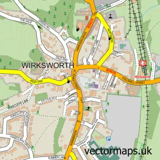
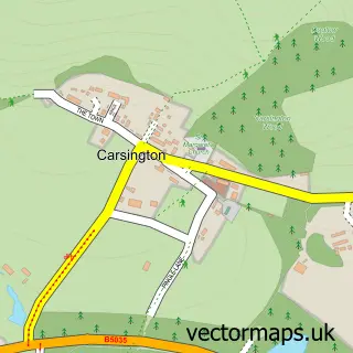
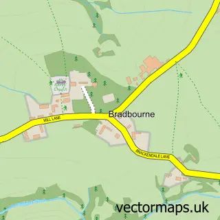
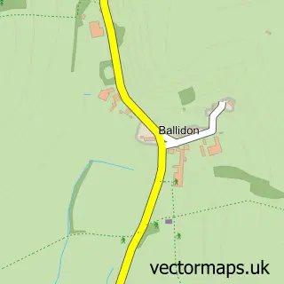
Nearby street map samples around Brassington

More street maps in Derbyshire
750 metre map area coverage
Boundary, postcode and point of interest information for the 750m x 750m rectangle centred on this sample map.
Boundaries containing map centre
Constituency: Derbyshire Dales Co Const
County: Derbyshire County
District: Derbyshire Dales District
Icb: NHS Derby and Derbyshire ICB
Parish: Brassington CP
Police Force: derbyshire
Postcode District: DE4
Postcode Sector: DE4 4
Ward: Dovedale, Parwich & Brassington Ward
Nearby boundaries intersecting sample
No additional intersecting boundaries found.
Postcode coverage
POI category counts
Pub: 3
Commercial Industrial: 2
Holiday Rental Home: 2
Anglican Church: 1
Arts And Crafts: 1
Bed And Breakfast: 1
Charity Organization: 1
Community Services Non Profits: 1
Elementary School: 1
Engineering Services: 1
Sample points of interest
- St James, Brassington
- Wreaths
- Manor House Bed and Breakfast - Brassington
- Brassington Royal British Legion
- Longcliffe Quarries
- Spencer Bros 1903 Brassington Ltd
- Brassington Recreation Ground Charitable Association - BRGCA
- Brassington Primary School
- Brockweld Engineering
- Old Farmhouse Furniture
- Hoe Grange Holidays
- Pail End
Create a larger editable map of Brassington
This sample shows only a 750 metre area. To create a larger map of Brassington, use our map builder to choose your own coverage area, add titles and download editable SVG, PDF and PNG files.
Create a custom map of Brassington