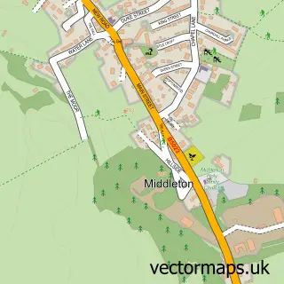
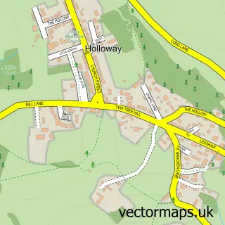
This Wirksworth street map is a detailed vector street map covering a 750m x 750m area. Select a larger area to create and download your own vector street map of Wirksworth.
The 750-metre map sample for Wirksworth covers 377 mapped buildings and approximately 23.8 km of road detail, of which 35 named roads are named. The immediate area includes 2 primary schools and 1 secondary school, 1 railway station, 1 GP surgery within 2 miles and 9 pubs among other local services. The wider area around Wirksworth features 3 tourism points of interest, 15 food and drink venues and 2 hotels. To create a larger or custom map of Wirksworth, the map builder lets you define your own coverage area and download editable SVG, PDF and PNG files.
Create a larger editable map of Wirksworth
Choose any area you need and generate a high-quality vector map instantly. Perfect for print, planning, design, business and personal use.

This Wirksworth street map in Derbyshire is available as downloadable SVG, PDF and PNG map files, or as a printed map for planning, business, display, education, local information and design work. You can also create a larger custom map area using the map selector.
What this Wirksworth map sample shows
Wirksworth lies within Wirksworth Cp parish, part of Wirksworth ward in the Derbyshire Dales District local authority area. The postcode geography for this area includes the DE postcode area, the DE4 postcode district and the DE4 4 postcode sector. Residents fall under the Nhs Derby And Derbyshire Integrated Care Board for NHS services.
Local features near Wirksworth
Within 2 milesAmenities and services in and around Wirksworth.
Administrative and postcode information for Wirksworth
The local authority covering Wirksworth is Derbyshire Dales District, within the county of Derbyshire. The settlement lies within Wirksworth ward and Wirksworth Cp civil parish. The DE4 postcode district and DE4 4 postcode sector serve the immediate area. NHS provision in the area is delivered through University Hospitals Of Derby And Burton Nhs Foundation Trust.
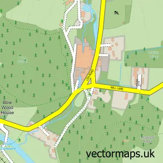
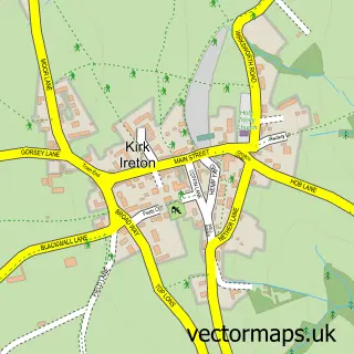
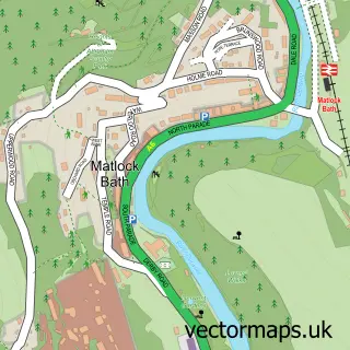
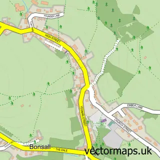
Nearby street map samples around Wirksworth

More street maps in Derbyshire
750 metre map area coverage
Boundary, postcode and point of interest information for the 750m x 750m rectangle centred on this sample map.
Boundaries containing map centre
Constituency: Derbyshire Dales Co Const
County: Derbyshire County
District: Derbyshire Dales District
Icb: NHS Derby and Derbyshire ICB
Parish: Wirksworth CP
Police Force: derbyshire
Postcode District: DE4
Postcode Sector: DE4 4
Ward: Wirksworth Ward
Nearby boundaries intersecting sample
No additional intersecting boundaries found.
Postcode coverage
POI category counts
Pub: 9
Beauty Salon: 7
Church Cathedral: 5
Convenience Store: 4
Art Gallery: 3
Beauty And Spa: 3
Charity Organization: 3
Community Services Non Profits: 3
Cottage: 3
Education: 3
Sample points of interest
- Harvest Creative
- Peak Osteopathy
- Mimosa Antiques
- Derek Trowell Architects
- Kerry Design
- Create Space - Wirksworth
- North End Nostalgia & North End Gallery
- The Bower Wirks
- The Wirksworth Pottery Company
- Wirksworth framing
- Pitch Blue Creative
- Wirksworth Festival
Create a larger editable map of Wirksworth
This sample shows only a 750 metre area. To create a larger map of Wirksworth, use our map builder to choose your own coverage area, add titles and download editable SVG, PDF and PNG files.
Create a custom map of Wirksworth