This Carsington street map is a detailed vector street map covering a 750m x 750m area. Select a larger area to create and download your own vector street map of Carsington.
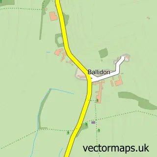
The 750-metre map sample for Carsington covers 76 mapped buildings and approximately 9.2 km of road detail, of which 3 named roads are named. The immediate area includes 1 school and 1 pub. The wider area around Carsington features 2 tourism points of interest and 1 food and drink venue. To create a larger or custom map of Carsington, the map builder lets you define your own coverage area and download editable SVG, PDF and PNG files.
Create a larger editable map of Carsington
Choose any area you need and generate a high-quality vector map instantly. Perfect for print, planning, design, business and personal use.

This Carsington street map in Derbyshire is available as downloadable SVG, PDF and PNG map files, or as a printed map for planning, business, display, education, local information and design work. You can also create a larger custom map area using the map selector.
What this Carsington map sample shows
Carsington lies within Carsington Cp parish, part of Carsington Water ward in the Derbyshire Dales District local authority area. The postcode geography for this area includes the DE postcode area, the DE4 postcode district and the DE4 4 postcode sector. Residents fall under the Nhs Derby And Derbyshire Integrated Care Board for NHS services.
Local features near Carsington
Within 2 milesAmenities and services in and around Carsington.
Administrative and postcode information for Carsington
Carsington lies within Carsington Cp parish, part of Carsington Water ward in the Derbyshire Dales District local authority area. The postcode geography for this area includes the DE postcode area, the DE4 postcode district and the DE4 4 postcode sector. Residents fall under the Nhs Derby And Derbyshire Integrated Care Board for NHS services.
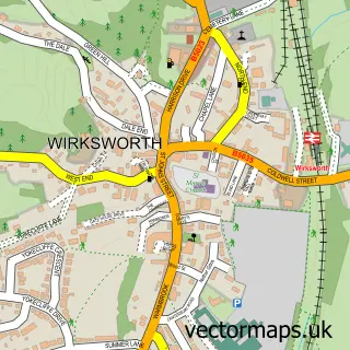
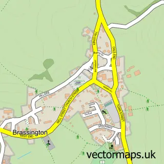
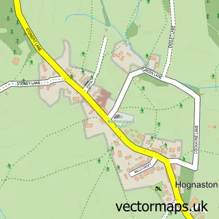
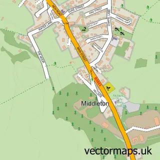
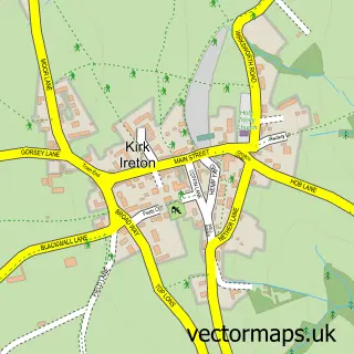
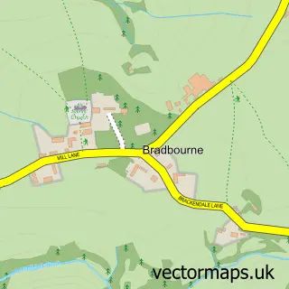
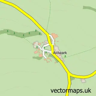
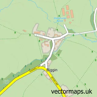
Nearby street map samples around Carsington

More street maps in Derbyshire
750 metre map area coverage
Boundary, postcode and point of interest information for the 750m x 750m rectangle centred on this sample map.
Boundaries containing map centre
Constituency: Derbyshire Dales Co Const
County: Derbyshire County
District: Derbyshire Dales District
Icb: NHS Derby and Derbyshire ICB
Parish: Carsington CP
Police Force: derbyshire
Postcode District: DE4
Postcode Sector: DE4 4
Ward: Wirksworth Ward
Nearby boundaries intersecting sample
Parish: Hopton CP
Postcode coverage
POI category counts
Anglican Church: 1
Attractions And Activities: 1
Church Cathedral: 1
Elementary School: 1
Holiday Rental Home: 1
Landmark And Historical Building: 1
Pub: 1
Travel Services: 1
Sample points of interest
- St Margaret's, Carsington
- Carsington Wood
- St. Margaret's Church
- Carsington & Hopton Church Primary School
- Emily Barn
- Hopton Hall Gardens
- The Miners Arms Carsington
- Peak District Guided Horse Rides
Create a larger editable map of Carsington
This sample shows only a 750 metre area. To create a larger map of Carsington, use our map builder to choose your own coverage area, add titles and download editable SVG, PDF and PNG files.
Create a custom map of Carsington