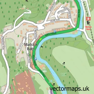
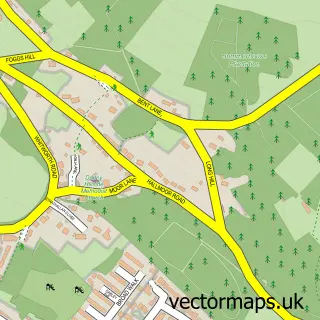
This Matlock street map is a detailed vector street map covering a 750m x 750m area. Select a larger area to create and download your own vector street map of Matlock.
The 750-metre map sample for Matlock covers 272 mapped buildings and approximately 20.9 km of road detail, of which 30 named roads are named. The immediate area includes 1 railway station, 1 GP surgery, 7 pubs and 3 MOT stations, with 10 within 2 miles. The wider area around Matlock features 5 tourism points of interest, 25 food and drink venues and 1 hotel. To create a larger or custom map of Matlock, the map builder lets you define your own coverage area and download editable SVG, PDF and PNG files.
Create a larger editable map of Matlock
Choose any area you need and generate a high-quality vector map instantly. Perfect for print, planning, design, business and personal use.

This Matlock street map in Derbyshire is available as downloadable SVG, PDF and PNG map files, or as a printed map for planning, business, display, education, local information and design work. You can also create a larger custom map area using the map selector.
What this Matlock map sample shows
Matlock lies within Matlock Town Cp parish, part of Matlock All Saints ward in the Derbyshire Dales District local authority area. The postcode geography for this area includes the DE postcode area, the DE4 postcode district and the DE4 3 postcode sector. Residents fall under the Nhs Derby And Derbyshire Integrated Care Board for NHS services.
Local features near Matlock
Within 2 milesAmenities and services in and around Matlock.
Administrative and postcode information for Matlock
Matlock lies within Matlock Town Cp parish, part of Matlock All Saints ward in the Derbyshire Dales District local authority area. The postcode geography for this area includes the DE postcode area, the DE4 postcode district and the DE4 3 postcode sector. Residents fall under the Nhs Derby And Derbyshire Integrated Care Board for NHS services.
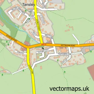
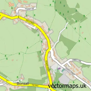
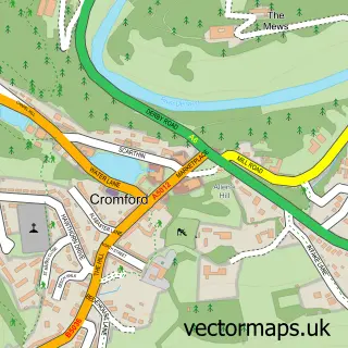
Nearby street map samples around Matlock

More street maps in Derbyshire
750 metre map area coverage
Boundary, postcode and point of interest information for the 750m x 750m rectangle centred on this sample map.
Boundaries containing map centre
Constituency: Derbyshire Dales Co Const
County: Derbyshire County
District: Derbyshire Dales District
Icb: NHS Derby and Derbyshire ICB
Parish: Matlock Town CP
Police Force: derbyshire
Postcode District: DE4
Postcode Sector: DE4 3
Ward: Matlock East & Tansley Ward
Nearby boundaries intersecting sample
Ward: Matlock West Ward
Postcode coverage
POI category counts
Beauty Salon: 14
Cafe: 13
Professional Services: 10
Charity Organization: 9
Flowers And Gifts Shop: 9
Bar: 7
Furniture Store: 7
Pub: 7
Antique Store: 6
Bed And Breakfast: 6
Sample points of interest
- Connexions
- Kip Mcgrath Education Centre Matlock & Chesterfield
- Ritz Adult Education Centre
- Longbow Consulting
- Inner Peace
- Parish Church of Matlock Saint Giles
- British Red Cross
- ELI Antiques
- Everything Stops for Tea
- Faded Maison Interiors
- Magpie
- Matlock Antiques & Collectables
Create a larger editable map of Matlock
This sample shows only a 750 metre area. To create a larger map of Matlock, use our map builder to choose your own coverage area, add titles and download editable SVG, PDF and PNG files.
Create a custom map of Matlock