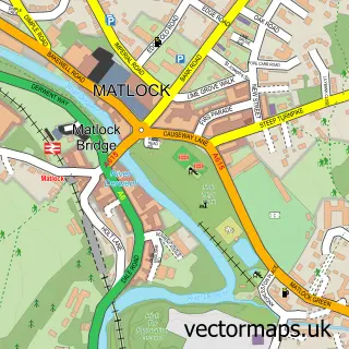
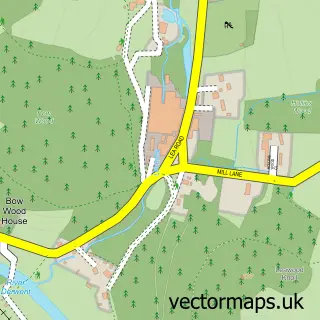
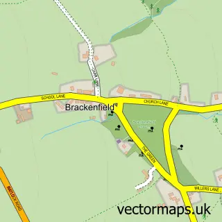
This Tansley street map is a detailed vector street map covering a 750m x 750m area. Select a larger area to create and download your own vector street map of Tansley.
The 750-metre map sample for Tansley covers 245 mapped buildings and approximately 11.6 km of road detail, of which 14 named roads are named. The immediate area includes 1 GP surgery within 2 miles, 2 pubs and 8 MOT stations within 2 miles. The wider area around Tansley features 2 food and drink venues and 1 hotel. To create a larger or custom map of Tansley, the map builder lets you define your own coverage area and download editable SVG, PDF and PNG files.
Create a larger editable map of Tansley
Choose any area you need and generate a high-quality vector map instantly. Perfect for print, planning, design, business and personal use.

This Tansley street map in Derbyshire is available as downloadable SVG, PDF and PNG map files, or as a printed map for planning, business, display, education, local information and design work. You can also create a larger custom map area using the map selector.
What this Tansley map sample shows
Tansley lies within Tansley Cp parish, part of Matlock St Giles ward in the Derbyshire Dales District local authority area. The postcode geography for this area includes the DE postcode area, the DE4 postcode district and the DE4 5 postcode sector. Residents fall under the Nhs Derby And Derbyshire Integrated Care Board for NHS services.
Local features near Tansley
Within 2 milesAmenities and services in and around Tansley.
Administrative and postcode information for Tansley
Tansley lies within Tansley Cp parish, part of Matlock St Giles ward in the Derbyshire Dales District local authority area. The postcode geography for this area includes the DE postcode area, the DE4 postcode district and the DE4 5 postcode sector. Residents fall under the Nhs Derby And Derbyshire Integrated Care Board for NHS services.
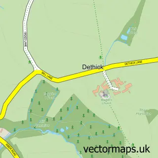
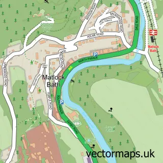
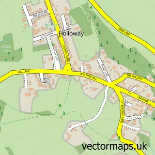
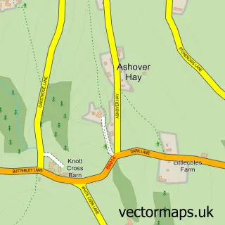
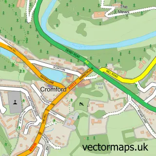
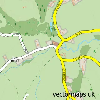
Nearby street map samples around Tansley

More street maps in Derbyshire
750 metre map area coverage
Boundary, postcode and point of interest information for the 750m x 750m rectangle centred on this sample map.
Boundaries containing map centre
Constituency: Derbyshire Dales Co Const
County: Derbyshire County
District: Derbyshire Dales District
Icb: NHS Derby and Derbyshire ICB
Parish: Tansley CP
Police Force: derbyshire
Postcode District: DE4
Postcode Sector: DE4 5
Ward: Matlock East & Tansley Ward
Nearby boundaries intersecting sample
Parish: Matlock Town CP
Postcode coverage
POI category counts
Holiday Rental Home: 2
Pet Store: 2
Professional Services: 2
Pub: 2
Bicycle Shop: 1
Car Dealer: 1
Church Cathedral: 1
Elementary School: 1
Event Planning: 1
Gun And Ammo: 1
Sample points of interest
- Stanton Bikes
- Matlock Car Sales
- Tansley Methodist Church
- Tansley Primary School
- Tansley Community Hall
- Precision Shooting Store
- One Church Street
- Orchard Cottage
- Woods view cottage
- Lloyds Languages
- Charles Gregory & Sons
- K9 Dog Grooming
Create a larger editable map of Tansley
This sample shows only a 750 metre area. To create a larger map of Tansley, use our map builder to choose your own coverage area, add titles and download editable SVG, PDF and PNG files.
Create a custom map of Tansley