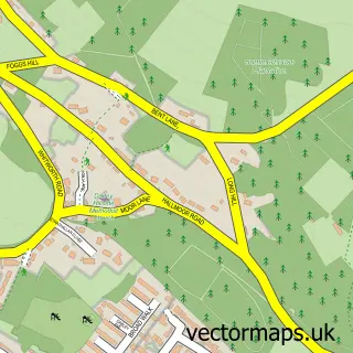
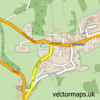
This Darley Dale street map is a detailed vector street map covering a 750m x 750m area. Select a larger area to create and download your own vector street map of Darley Dale.
The 750-metre map sample for Darley Dale covers 436 mapped buildings and approximately 18.4 km of road detail, of which 23 named roads are named. The immediate area includes 1 railway station, 1 GP surgery, 1 pub and 3 MOT stations within 2 miles. The wider area around Darley Dale features 3 food and drink venues and 2 hotels. To create a larger or custom map of Darley Dale, the map builder lets you define your own coverage area and download editable SVG, PDF and PNG files.
Create a larger editable map of Darley Dale
Choose any area you need and generate a high-quality vector map instantly. Perfect for print, planning, design, business and personal use.

This Darley Dale street map in Derbyshire is available as downloadable SVG, PDF and PNG map files, or as a printed map for planning, business, display, education, local information and design work. You can also create a larger custom map area using the map selector.
What this Darley Dale map sample shows
Darley Dale lies within Darley Dale Cp parish, part of Darley Dale ward in the Derbyshire Dales District local authority area. The postcode geography for this area includes the DE postcode area, the DE4 postcode district and the DE4 2 postcode sector. Residents fall under the Nhs Derby And Derbyshire Integrated Care Board for NHS services.
Local features near Darley Dale
Within 2 milesAmenities and services in and around Darley Dale.
Administrative and postcode information for Darley Dale
Darley Dale lies within Darley Dale Cp parish, part of Darley Dale ward in the Derbyshire Dales District local authority area. The postcode geography for this area includes the DE postcode area, the DE4 postcode district and the DE4 2 postcode sector. Residents fall under the Nhs Derby And Derbyshire Integrated Care Board for NHS services.
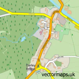
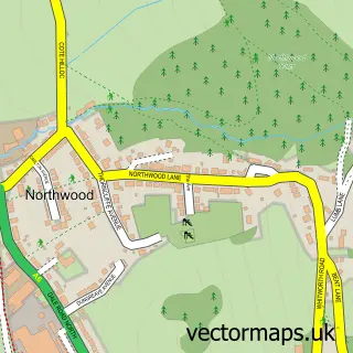
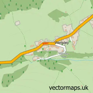
Nearby street map samples around Darley Dale

More street maps in Derbyshire
750 metre map area coverage
Boundary, postcode and point of interest information for the 750m x 750m rectangle centred on this sample map.
Boundaries containing map centre
Constituency: Derbyshire Dales Co Const
County: Derbyshire County
District: Derbyshire Dales District
Icb: NHS Derby and Derbyshire ICB
Parish: Darley Dale CP
Police Force: derbyshire
Postcode District: DE4
Postcode Sector: DE4 2
Ward: Darley Dale Ward
Nearby boundaries intersecting sample
No additional intersecting boundaries found.
Postcode coverage
POI category counts
Furniture Store: 3
Gas Station: 3
Atms: 2
Barber: 2
Church Cathedral: 2
Convenience Store: 2
Doctor: 2
Hair Salon: 2
Hotel: 2
Korean Grocery Store: 2
Sample points of interest
- ATM (Post Office)
- BR Spar Two Dales (ERF), Darley Dale
- The Royal Bank of Scotland
- The Barber Shop
- Wild Barbers
- Chesterfield House
- M Markovitz Ltd. Builders & Plumbers Merchants
- Tall Trees Coffee Shop & Restaurant
- Dale Road Methodist Church
- Darley Dale Methodist Church
- C P L Distribution Ltd.
- Costa Express
Create a larger editable map of Darley Dale
This sample shows only a 750 metre area. To create a larger map of Darley Dale, use our map builder to choose your own coverage area, add titles and download editable SVG, PDF and PNG files.
Create a custom map of Darley Dale