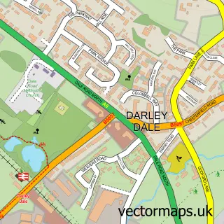
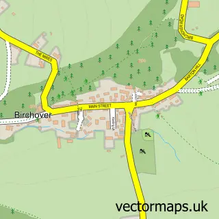
This Northwood street map is a detailed vector street map covering a 750m x 750m area. Select a larger area to create and download your own vector street map of Northwood.
The 750-metre map sample for Northwood covers 206 mapped buildings and approximately 13.0 km of road detail, of which 11 named roads are named. The immediate area includes 1 GP surgery within 2 miles and 1 MOT station, with 3 within 2 miles. To create a larger or custom map of Northwood, the map builder lets you define your own coverage area and download editable SVG, PDF and PNG files.
Create a larger editable map of Northwood
Choose any area you need and generate a high-quality vector map instantly. Perfect for print, planning, design, business and personal use.

This Northwood street map in Derbyshire is available as downloadable SVG, PDF and PNG map files, or as a printed map for planning, business, display, education, local information and design work. You can also create a larger custom map area using the map selector.
What this Northwood map sample shows
Northwood lies within Northwood And Tinkersley Cp parish, part of Stanton ward in the Derbyshire Dales District local authority area. The postcode geography for this area includes the DE postcode area, the DE4 postcode district and the DE4 2 postcode sector. Residents fall under the Nhs Derby And Derbyshire Integrated Care Board for NHS services.
Local features near Northwood
Within 2 milesAmenities and services in and around Northwood.
Administrative and postcode information for Northwood
Northwood lies within Northwood And Tinkersley Cp parish, part of Stanton ward in the Derbyshire Dales District local authority area. The postcode geography for this area includes the DE postcode area, the DE4 postcode district and the DE4 2 postcode sector. Residents fall under the Nhs Derby And Derbyshire Integrated Care Board for NHS services.
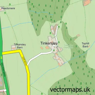
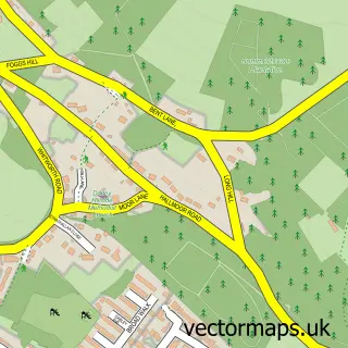
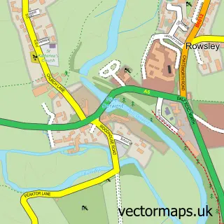
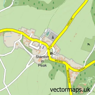
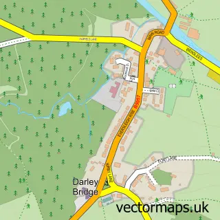
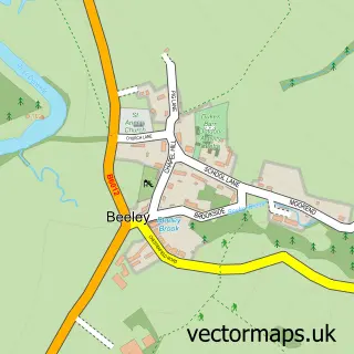
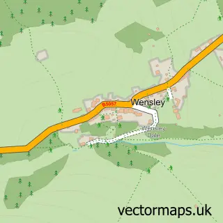
Nearby street map samples around Northwood

More street maps in Derbyshire
750 metre map area coverage
Boundary, postcode and point of interest information for the 750m x 750m rectangle centred on this sample map.
Boundaries containing map centre
Constituency: Derbyshire Dales Co Const
County: Derbyshire County
District: Derbyshire Dales District
Icb: NHS Derby and Derbyshire ICB
Parish: Northwood and Tinkersley CP
Police Force: derbyshire
Postcode District: DE4
Postcode Sector: DE4 2
Ward: Darley Dale Ward
Nearby boundaries intersecting sample
No additional intersecting boundaries found.
Postcode coverage
POI category counts
Automotive Repair: 2
Fabric Store: 2
Farm Equipment And Supply: 2
Auto Company: 1
Auto Detailing: 1
Business Manufacturing And Supply: 1
Dance School: 1
Dry Cleaning: 1
Engineering Services: 1
Farmers Market: 1
Sample points of interest
- VIAIR UK
- Blackrocks Detailing
- Darley Dale Garage Ltd
- Kems Autos
- Forged Solutions Group
- Claire Dobinson School of Dancing
- The Iron Lady
- Strutt Engineering
- Fabric and Furnishing Solutions
- Heirs and Graces
- Mole Country Stores
- Mole Country Stores
Create a larger editable map of Northwood
This sample shows only a 750 metre area. To create a larger map of Northwood, use our map builder to choose your own coverage area, add titles and download editable SVG, PDF and PNG files.
Create a custom map of Northwood