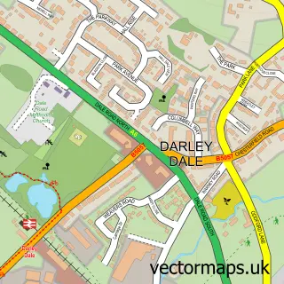
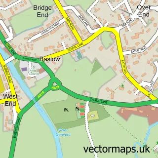
This Beeley street map is a detailed vector street map covering a 750m x 750m area. Select a larger area to create and download your own vector street map of Beeley.
The 750-metre map sample for Beeley covers 77 mapped buildings and approximately 15.1 km of road detail, of which 8 named roads are named. The immediate area includes 1 pub and 2 MOT stations within 2 miles. The wider area around Beeley features 3 food and drink venues and 1 hotel. To create a larger or custom map of Beeley, the map builder lets you define your own coverage area and download editable SVG, PDF and PNG files.
Create a larger editable map of Beeley
Choose any area you need and generate a high-quality vector map instantly. Perfect for print, planning, design, business and personal use.

This Beeley street map in Derbyshire is available as downloadable SVG, PDF and PNG map files, or as a printed map for planning, business, display, education, local information and design work. You can also create a larger custom map area using the map selector.
What this Beeley map sample shows
Beeley lies within Beeley Cp parish, part of Chatsworth ward in the Derbyshire Dales District local authority area. The postcode geography for this area includes the DE postcode area, the DE4 postcode district and the DE4 2 postcode sector. Residents fall under the Nhs Derby And Derbyshire Integrated Care Board for NHS services.
Local features near Beeley
Within 2 milesAmenities and services in and around Beeley.
Administrative and postcode information for Beeley
The local authority covering Beeley is Derbyshire Dales District, within the county of Derbyshire. The settlement lies within Chatsworth ward and Beeley Cp civil parish. The DE4 postcode district and DE4 2 postcode sector serve the immediate area. NHS provision in the area is delivered through Chesterfield Royal Hospital Nhs Foundation Trust.
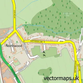
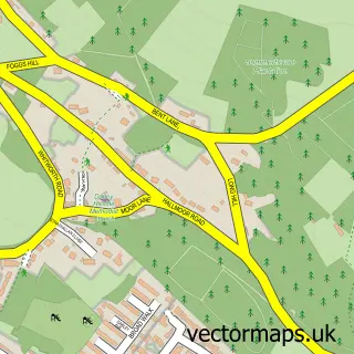
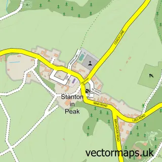
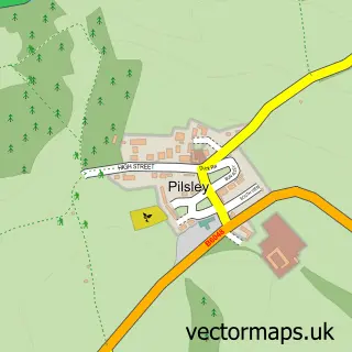
Nearby street map samples around Beeley

More street maps in Derbyshire
750 metre map area coverage
Boundary, postcode and point of interest information for the 750m x 750m rectangle centred on this sample map.
Boundaries containing map centre
Constituency: Derbyshire Dales Co Const
County: Derbyshire County
District: Derbyshire Dales District
Icb: NHS Derby and Derbyshire ICB
Parish: Beeley CP
Police Force: derbyshire
Postcode District: DE4
Postcode Sector: DE4 2
Ward: Chatsworth Ward
Nearby boundaries intersecting sample
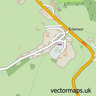
Parish: Edensor CP
Postcode coverage
POI category counts
Agricultural Service: 1
Anglican Church: 1
Charity Organization: 1
Coffee Shop: 1
Hotel: 1
Kids Recreation And Party: 1
Music Festivals And Organizations: 1
Pub: 1
Restaurant: 1
Sample points of interest
- Fearn Jeremy J Motor Engineers
- St Anne's, Beeley
- Dukes Barn
- The Osmaston Kitchen
- The Beeley Inn
- Dukes Barn
- Peak Music Society
- The Devonshire Arms
- The Old Smithy
Create a larger editable map of Beeley
This sample shows only a 750 metre area. To create a larger map of Beeley, use our map builder to choose your own coverage area, add titles and download editable SVG, PDF and PNG files.
Create a custom map of Beeley