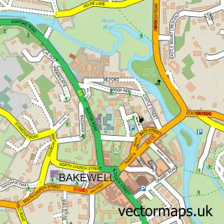
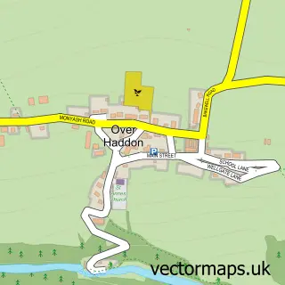
This Monyash street map is a detailed vector street map covering a 750m x 750m area. Select a larger area to create and download your own vector street map of Monyash.
The 750-metre map sample for Monyash covers 143 mapped buildings and approximately 18.7 km of road detail, of which 11 named roads are named. The immediate area includes 1 school and 1 pub. The wider area around Monyash features 2 tourism points of interest, 1 food and drink venue and 1 hotel. To create a larger or custom map of Monyash, the map builder lets you define your own coverage area and download editable SVG, PDF and PNG files.
Create a larger editable map of Monyash
Choose any area you need and generate a high-quality vector map instantly. Perfect for print, planning, design, business and personal use.

This Monyash street map in Derbyshire is available as downloadable SVG, PDF and PNG map files, or as a printed map for planning, business, display, education, local information and design work. You can also create a larger custom map area using the map selector.
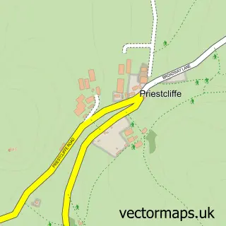
What this Monyash map sample shows
Monyash lies within Monyash Cp parish, part of Lathkill And Bradford ward in the Derbyshire Dales District local authority area. The postcode geography for this area includes the DE postcode area, the DE45 postcode district and the DE45 1 postcode sector. Residents fall under the Nhs Derby And Derbyshire Integrated Care Board for NHS services.
Local features near Monyash
Within 2 milesAmenities and services in and around Monyash.
Administrative and postcode information for Monyash
Monyash lies within Monyash Cp parish, part of Lathkill And Bradford ward in the Derbyshire Dales District local authority area. The postcode geography for this area includes the DE postcode area, the DE45 postcode district and the DE45 1 postcode sector. Residents fall under the Nhs Derby And Derbyshire Integrated Care Board for NHS services.
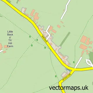
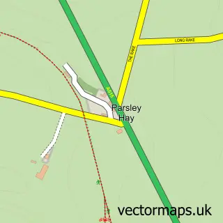
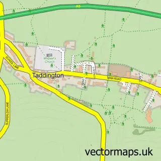
Nearby street map samples around Monyash

More street maps in Derbyshire
750 metre map area coverage
Boundary, postcode and point of interest information for the 750m x 750m rectangle centred on this sample map.
Boundaries containing map centre
Constituency: Derbyshire Dales Co Const
County: Derbyshire County
District: Derbyshire Dales District
Icb: NHS Derby and Derbyshire ICB
Parish: Monyash CP
Police Force: derbyshire
Postcode District: DE45
Postcode Sector: DE45 1
Ward: Youlgrave Ward
Nearby boundaries intersecting sample
No additional intersecting boundaries found.
Postcode coverage
POI category counts
Holiday Rental Home: 2
Tea Room: 2
Arts And Entertainment: 1
Bakery: 1
Bed And Breakfast: 1
Campground: 1
Church Cathedral: 1
Community Center: 1
Dog Walkers: 1
Furniture Store: 1
Sample points of interest
- Monyash
- The Pink Cake Box
- Sheldon House Monyash
- Lathkilldale Campsite
- St Leonard's Church
- Monyash Village Hall
- Peak Wags and Woofs
- Geoff Hall Carpets
- The Coach House
- The Stables Cottage
- Spingle Barn Luxury En-suite Holiday Accommodation
- Lime Tree Business Park
Create a larger editable map of Monyash
This sample shows only a 750 metre area. To create a larger map of Monyash, use our map builder to choose your own coverage area, add titles and download editable SVG, PDF and PNG files.
Create a custom map of Monyash