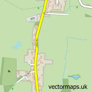
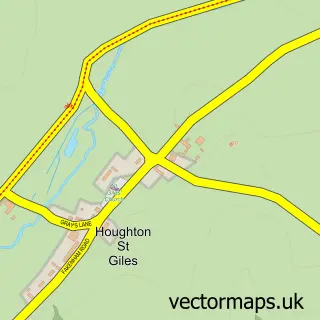
This Little Snoring street map is a detailed vector street map covering a 750m x 750m area. Select a larger area to create and download your own vector street map of Little Snoring.
The 750-metre map sample for Little Snoring covers 204 mapped buildings and approximately 11.2 km of road detail, of which 15 named roads are named. The immediate area includes 1 school, 1 GP surgery within 2 miles and 5 MOT stations within 2 miles. The wider area around Little Snoring features 3 hotels. To create a larger or custom map of Little Snoring, the map builder lets you define your own coverage area and download editable SVG, PDF and PNG files.
Create a larger editable map of Little Snoring
Choose any area you need and generate a high-quality vector map instantly. Perfect for print, planning, design, business and personal use.

This Little Snoring street map in Norfolk is available as downloadable SVG, PDF and PNG map files, or as a printed map for planning, business, display, education, local information and design work. You can also create a larger custom map area using the map selector.
What this Little Snoring map sample shows
Little Snoring lies within Little Snoring Cp parish, part of Walsingham ward in the North Norfolk District local authority area. The postcode geography for this area includes the NR postcode area, the NR21 postcode district and the NR21 0 postcode sector. Residents fall under the Nhs Norfolk And Waveney Integrated Care Board for NHS services.
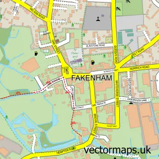
Local features near Little Snoring
Within 2 milesAmenities and services in and around Little Snoring.
Administrative and postcode information for Little Snoring
Little Snoring lies within Little Snoring Cp parish, part of Walsingham ward in the North Norfolk District local authority area. The postcode geography for this area includes the NR postcode area, the NR21 postcode district and the NR21 0 postcode sector. Residents fall under the Nhs Norfolk And Waveney Integrated Care Board for NHS services.
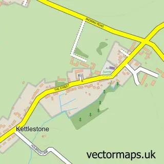
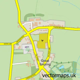
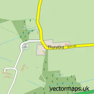
Nearby street map samples around Little Snoring

More street maps in Norfolk
750 metre map area coverage
Boundary, postcode and point of interest information for the 750m x 750m rectangle centred on this sample map.
Boundaries containing map centre
Constituency: Broadland and Fakenham Co Const
County: Norfolk County
District: North Norfolk District
Icb: NHS Norfolk and Waveney ICB
Parish: Little Snoring CP
Police Force: norfolk
Postcode District: NR21
Postcode Sector: NR21 0
Ward: Walsingham Ward
Nearby boundaries intersecting sample
No additional intersecting boundaries found.
Postcode coverage
POI category counts
Hotel: 2
Bakery: 1
Beach: 1
Bed And Breakfast: 1
Caterer: 1
Cleaning Services: 1
Hunting And Fishing Supplies: 1
Massage Therapy: 1
Post Office: 1
Preschool: 1
Sample points of interest
- The Old Bakehouse
- Wells Beach Norfolk
- Jex Farmhouse Bed & Breakfast
- Chris Fuller
- ACS Cleaning
- Jex Farm
- The School House
- Tk Tackle
- Blue Sky Sports Massage
- Little Snoring Sub Post Office
- Little Snoring Pre-School
- Littlesnoring Caravan Site
Create a larger editable map of Little Snoring
This sample shows only a 750 metre area. To create a larger map of Little Snoring, use our map builder to choose your own coverage area, add titles and download editable SVG, PDF and PNG files.
Create a custom map of Little Snoring