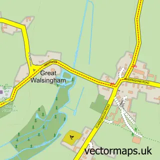
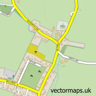
This Little Walsingham street map is a detailed vector street map covering a 750m x 750m area. Select a larger area to create and download your own vector street map of Little Walsingham.
The 750-metre map sample for Little Walsingham covers 161 mapped buildings and approximately 12.3 km of road detail, of which 19 named roads are named. The immediate area includes 1 pub. The wider area around Little Walsingham features 2 tourism points of interest, 4 food and drink venues and 5 hotels. To create a larger or custom map of Little Walsingham, the map builder lets you define your own coverage area and download editable SVG, PDF and PNG files.
Create a larger editable map of Little Walsingham
Choose any area you need and generate a high-quality vector map instantly. Perfect for print, planning, design, business and personal use.

This Little Walsingham street map in Norfolk is available as downloadable SVG, PDF and PNG map files, or as a printed map for planning, business, display, education, local information and design work. You can also create a larger custom map area using the map selector.
What this Little Walsingham map sample shows
Little Walsingham lies within Walsingham Cp parish, part of Walsingham ward in the North Norfolk District local authority area. The postcode geography for this area includes the NR postcode area, the NR22 postcode district and the NR22 6 postcode sector. Residents fall under the Nhs Norfolk And Waveney Integrated Care Board for NHS services.
Local features near Little Walsingham
Within 2 milesAmenities and services in and around Little Walsingham.
Administrative and postcode information for Little Walsingham
The local authority covering Little Walsingham is North Norfolk District, within the county of Norfolk. The settlement lies within Walsingham ward and Walsingham Cp civil parish. The NR22 postcode district and NR22 6 postcode sector serve the immediate area. NHS provision in the area is delivered through The Queen Elizabeth Hospital, King's Lynn, Nhs Foundation Trust.
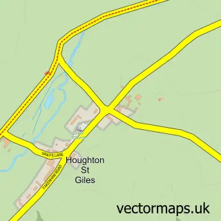
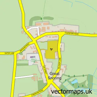
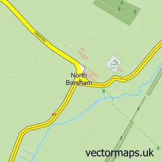
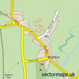
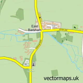
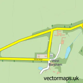
Nearby street map samples around Little Walsingham

More street maps in Norfolk
750 metre map area coverage
Boundary, postcode and point of interest information for the 750m x 750m rectangle centred on this sample map.
Boundaries containing map centre
Constituency: Broadland and Fakenham Co Const
County: Norfolk County
District: North Norfolk District
Icb: NHS Norfolk and Waveney ICB
Parish: Walsingham CP
Police Force: norfolk
Postcode District: NR22
Postcode Sector: NR22 6
Ward: Walsingham Ward
Nearby boundaries intersecting sample
No additional intersecting boundaries found.
Postcode coverage
POI category counts
Anglican Church: 6
Church Cathedral: 5
Hotel: 5
Community Services Non Profits: 3
Train Station: 3
Bed And Breakfast: 2
Convenience Store: 2
Farmers Market: 2
Flowers And Gifts Shop: 2
Liquor Store: 2
Sample points of interest
- Little Walsingham: St Mary & All Saints
- Shrine of Our Lady of Walsingham (Anglican)
- Society of St Margaret
- St Peters, Great Walsingham
- The Anglican Shrine of Our Lady of Walsingham
- The Benefice of Walsingham
- Holt Antiques at Walsingham Mill
- Little Walsingham Gallery
- Tudor Barber Shop
- St Davids House
- St Davids House
- Epiphany Café
Create a larger editable map of Little Walsingham
This sample shows only a 750 metre area. To create a larger map of Little Walsingham, use our map builder to choose your own coverage area, add titles and download editable SVG, PDF and PNG files.
Create a custom map of Little Walsingham