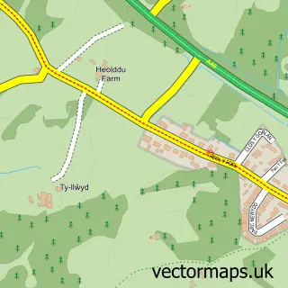
This Llanarthne street map is a detailed vector street map covering a 750m x 750m area. Select a larger area to create and download your own vector street map of Llanarthne.
The 750-metre map sample for Llanarthne covers 108 mapped buildings and approximately 7.5 km of road detail, of which 2 named roads are named. The immediate area includes 1 pub and 1 MOT station within 2 miles. The wider area around Llanarthne features 2 food and drink venues and 3 hotels. To create a larger or custom map of Llanarthne, the map builder lets you define your own coverage area and download editable SVG, PDF and PNG files.
Create a larger editable map of Llanarthne
Choose any area you need and generate a high-quality vector map instantly. Perfect for print, planning, design, business and personal use.

This Llanarthne street map in Dyfed is available as downloadable SVG, PDF and PNG map files, or as a printed map for planning, business, display, education, local information and design work. You can also create a larger custom map area using the map selector.
What this Llanarthne map sample shows
Llanarthne lies within Llanarthney Community parish, part of Llanddarog ward in the Sir Gaerfyrddin - Carmarthenshire local authority area. The postcode geography for this area includes the SA postcode area, the SA32 postcode district and the SA32 8 postcode sector. Residents fall under the Hywel Dda University Health Board for NHS services.
Local features near Llanarthne
Within 2 milesAmenities and services in and around Llanarthne.
Administrative and postcode information for Llanarthne
The local authority covering Llanarthne is Sir Gaerfyrddin - Carmarthenshire, within the county of Dyfed. The settlement lies within Llanddarog ward and Llanarthney Community civil parish. The SA32 postcode district and SA32 8 postcode sector serve the immediate area. NHS provision in the area is delivered through Hywel Dda University Health Board.
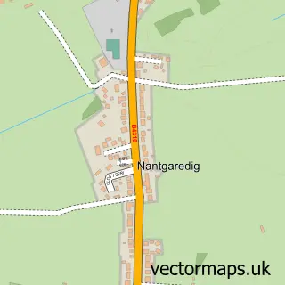
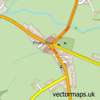
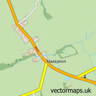
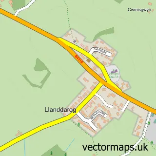
Nearby street map samples around Llanarthne

More street maps in Dyfed
750 metre map area coverage
Boundary, postcode and point of interest information for the 750m x 750m rectangle centred on this sample map.
Boundaries containing map centre
Constituency: Caerfyrddin Co Const
District: Sir Gaerfyrddin - Carmarthenshire
Icb: Hywel Dda
Parish: Llanarthney Community
Police Force: dyfed-powys
Postcode District: SA32
Postcode Sector: SA32 8
Nearby boundaries intersecting sample
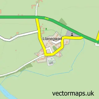
Parish: Llanegwad Community
Postcode coverage
POI category counts
Hotel: 3
Beauty Salon: 1
Church Cathedral: 1
Community Services Non Profits: 1
Day Care Preschool: 1
Flowers And Gifts Shop: 1
Medical Center: 1
Pub: 1
Restaurant: 1
Sample points of interest
- The Beauty Room
- St David's Church
- Llanarthne Hall
- Meithrinfa Cwtsh y Clos Nursery
- Shabby Chicks
- Glantowy Farm Glamping
- The Emlyn Arms
- Tycanol Lodge
- Bn She Consultancy
- Emlyn Arms
- Wright's Food Emporium
Create a larger editable map of Llanarthne
This sample shows only a 750 metre area. To create a larger map of Llanarthne, use our map builder to choose your own coverage area, add titles and download editable SVG, PDF and PNG files.
Create a custom map of Llanarthne