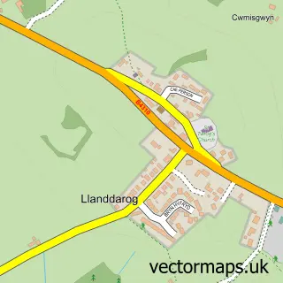
This Porthyrhyd street map is a detailed vector street map covering a 750m x 750m area. Select a larger area to create and download your own vector street map of Porthyrhyd.
The 750-metre map sample for Porthyrhyd covers 104 mapped buildings and approximately 7.5 km of road detail, of which 3 named roads are named. The immediate area includes 1 pub and 2 MOT stations within 2 miles. The wider area around Porthyrhyd features 1 food and drink venue, 1 hotel and 1 campsite within 2 miles. To create a larger or custom map of Porthyrhyd, the map builder lets you define your own coverage area and download editable SVG, PDF and PNG files.
Create a larger editable map of Porthyrhyd
Choose any area you need and generate a high-quality vector map instantly. Perfect for print, planning, design, business and personal use.

This Porthyrhyd street map in Dyfed is available as downloadable SVG, PDF and PNG map files, or as a printed map for planning, business, display, education, local information and design work. You can also create a larger custom map area using the map selector.
What this Porthyrhyd map sample shows
Porthyrhyd lies within Llanddarog Community parish, part of Llanddarog ward in the Sir Gaerfyrddin - Carmarthenshire local authority area. The postcode geography for this area includes the SA postcode area, the SA32 postcode district and the SA32 8 postcode sector. Residents fall under the Hywel Dda University Health Board for NHS services.
Local features near Porthyrhyd
Within 2 milesAmenities and services in and around Porthyrhyd.
Administrative and postcode information for Porthyrhyd
Porthyrhyd lies within Llanddarog Community parish, part of Llanddarog ward in the Sir Gaerfyrddin - Carmarthenshire local authority area. The postcode geography for this area includes the SA postcode area, the SA32 postcode district and the SA32 8 postcode sector. Residents fall under the Hywel Dda University Health Board for NHS services.
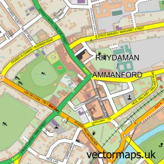
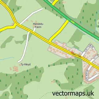
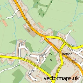
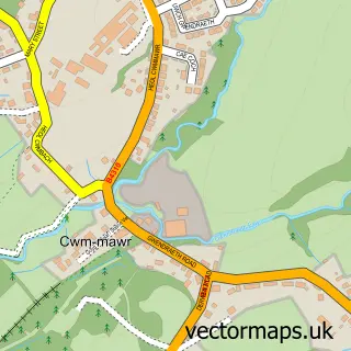
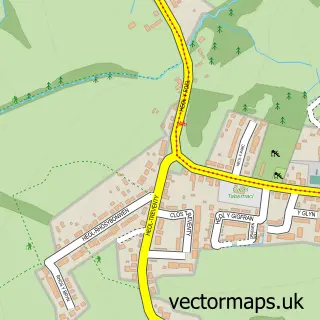
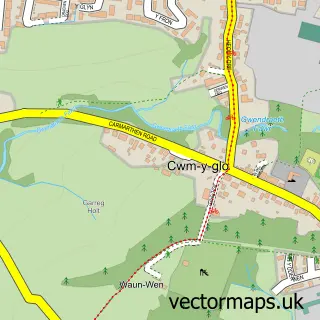
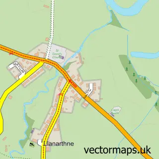
Nearby street map samples around Porthyrhyd

More street maps in Dyfed
750 metre map area coverage
Boundary, postcode and point of interest information for the 750m x 750m rectangle centred on this sample map.
Boundaries containing map centre
Constituency: Caerfyrddin Co Const
District: Sir Gaerfyrddin - Carmarthenshire
Icb: Hywel Dda
Parish: Llanddarog Community
Police Force: dyfed-powys
Postcode District: SA32
Postcode Sector: SA32 8
Nearby boundaries intersecting sample
No additional intersecting boundaries found.
Postcode coverage
POI category counts
Business Management Services: 2
Convenience Store: 1
Driving School: 1
Financial Service: 1
Food Delivery Service: 1
Hotel: 1
Post Office: 1
Pub: 1
Town Hall: 1
Sample points of interest
- Porthyrhyd Post Office
- Post Office-Porthyrhyd
- SPAR
- Learn to Drive with Darren
- Western Union
- Evri ParcelShop
- Abadam Arms
- Shop Porthyrhyd
- The Prince Of Wales
- Porthyrhyd Hall
Create a larger editable map of Porthyrhyd
This sample shows only a 750 metre area. To create a larger map of Porthyrhyd, use our map builder to choose your own coverage area, add titles and download editable SVG, PDF and PNG files.
Create a custom map of Porthyrhyd