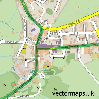
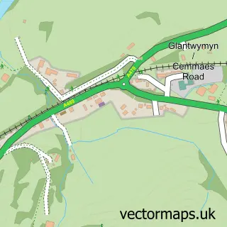
This Llanbrynmair street map is a detailed vector street map covering a 750m x 750m area. Select a larger area to create and download your own vector street map of Llanbrynmair.
The 750-metre map sample for Llanbrynmair covers 92 mapped buildings and approximately 10.3 km of road detail, of which 4 named roads are named. The immediate area includes 1 pub and 1 MOT station. The wider area around Llanbrynmair features 1 tourism point of interest, 3 food and drink venues and 2 campsites within 2 miles. To create a larger or custom map of Llanbrynmair, the map builder lets you define your own coverage area and download editable SVG, PDF and PNG files.
Create a larger editable map of Llanbrynmair
Choose any area you need and generate a high-quality vector map instantly. Perfect for print, planning, design, business and personal use.

This Llanbrynmair street map in Powys is available as downloadable SVG, PDF and PNG map files, or as a printed map for planning, business, display, education, local information and design work. You can also create a larger custom map area using the map selector.
What this Llanbrynmair map sample shows
Llanbrynmair lies within Llanbrynmair Community parish, part of Llanbrynmair ward in the Powys - Powys local authority area. The postcode geography for this area includes the SY postcode area, the SY19 postcode district and the SY19 7 postcode sector. Residents fall under the Powys Teaching Health Board for NHS services.
Local features near Llanbrynmair
Within 2 milesAmenities and services in and around Llanbrynmair.
Administrative and postcode information for Llanbrynmair
Llanbrynmair lies within Llanbrynmair Community parish, part of Llanbrynmair ward in the Powys - Powys local authority area. The postcode geography for this area includes the SY postcode area, the SY19 postcode district and the SY19 7 postcode sector. Residents fall under the Powys Teaching Health Board for NHS services.
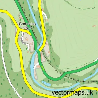
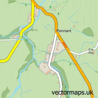
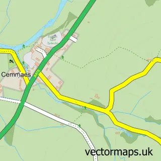
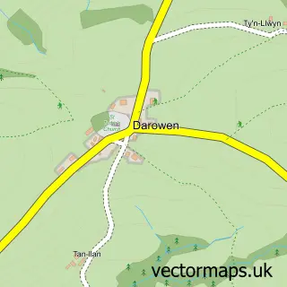
Nearby street map samples around Llanbrynmair

More street maps in Powys
750 metre map area coverage
Boundary, postcode and point of interest information for the 750m x 750m rectangle centred on this sample map.
Boundaries containing map centre
Constituency: Montgomeryshire and Glyndwr Co Const
District: Powys - Powys
Icb: Powys Teaching
Parish: Llanbrynmair Community
Police Force: dyfed-powys
Postcode District: SY19
Postcode Sector: SY19 7
Nearby boundaries intersecting sample
No additional intersecting boundaries found.
Postcode coverage
POI category counts
Accommodation: 1
Advertising Agency: 1
Bakery: 1
Bridal Shop: 1
Cafe: 1
Caterer: 1
Coffee Shop: 1
Community Services Non Profits: 1
Convenience Store: 1
Holiday Rental Home: 1
Sample points of interest
- Llanbrynmair Village
- Cowhouse Media
- The March Hare Bakery
- Anderson Apparel
- Caffi Jo Jo Llanbrynmair
- Spread Gather Graze
- Dyfi Roastery
- Sioe Llanbrynmair Show
- Wynnstay Stores
- Cae Calon
- Spike the Blacksmith
- I B Williams & Son
Create a larger editable map of Llanbrynmair
This sample shows only a 750 metre area. To create a larger map of Llanbrynmair, use our map builder to choose your own coverage area, add titles and download editable SVG, PDF and PNG files.
Create a custom map of Llanbrynmair