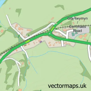
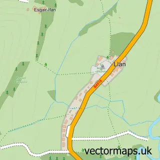
This Cemais / Cemmaes street map is a detailed vector street map covering a 750m x 750m area. Select a larger area to create and download your own vector street map of Cemais / Cemmaes.
The 750-metre map sample for Cemais / Cemmaes covers 52 mapped buildings and approximately 10.6 km of road detail. The wider area around Cemais / Cemmaes features 1 food and drink venue and 2 hotels. To create a larger or custom map of Cemais / Cemmaes, the map builder lets you define your own coverage area and download editable SVG, PDF and PNG files.
Create a larger editable map of Cemais / Cemmaes
Choose any area you need and generate a high-quality vector map instantly. Perfect for print, planning, design, business and personal use.

This Cemais / Cemmaes street map in Powys is available as downloadable SVG, PDF and PNG map files, or as a printed map for planning, business, display, education, local information and design work. You can also create a larger custom map area using the map selector.
What this Cemais / Cemmaes map sample shows
Cemais / Cemmaes lies within Glantwymyn Community parish, part of Glantwymyn ward in the Powys - Powys local authority area. The postcode geography for this area includes the SY postcode area, the SY20 postcode district and the SY20 9 postcode sector. Residents fall under the Powys Teaching Health Board for NHS services.
Local features near Cemais / Cemmaes
Within 2 milesAmenities and services in and around Cemais / Cemmaes.
Administrative and postcode information for Cemais / Cemmaes
The local authority covering Cemais / Cemmaes is Powys - Powys, within the county of Powys. The settlement lies within Glantwymyn ward and Glantwymyn Community civil parish. The SY20 postcode district and SY20 9 postcode sector serve the immediate area. NHS provision in the area is delivered through Powys Teaching Health Board.
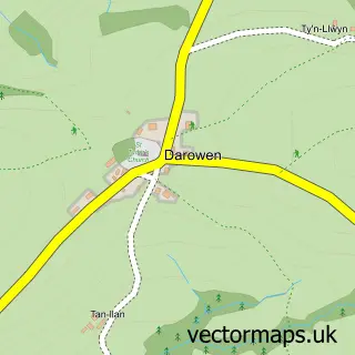
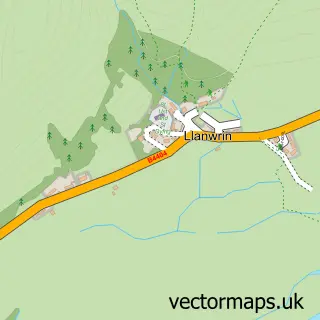
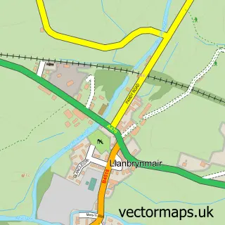
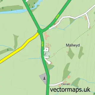
Nearby street map samples around Cemais / Cemmaes

More street maps in Powys
750 metre map area coverage
Boundary, postcode and point of interest information for the 750m x 750m rectangle centred on this sample map.
Boundaries containing map centre
Constituency: Montgomeryshire and Glyndwr Co Const
District: Powys - Powys
Icb: Powys Teaching
Parish: Glantwymyn Community
Police Force: dyfed-powys
Postcode District: SY20
Postcode Sector: SY20 9
Nearby boundaries intersecting sample
No additional intersecting boundaries found.
Postcode coverage
POI category counts
Hotel: 2
Cafe: 1
Furniture Assembly: 1
Guest House: 1
Home Service: 1
Sample points of interest
- Ty Cemaes
- Old Favourites Upholstery
- Penrhos Arms Ltd.
- Traed Bech Twymyn
- Dyfi Cottage
- Penrhos Arms Hotel
Create a larger editable map of Cemais / Cemmaes
This sample shows only a 750 metre area. To create a larger map of Cemais / Cemmaes, use our map builder to choose your own coverage area, add titles and download editable SVG, PDF and PNG files.
Create a custom map of Cemais / Cemmaes