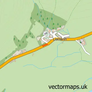
This Aberangell street map is a detailed vector street map covering a 750m x 750m area. Select a larger area to create and download your own vector street map of Aberangell.
The 750-metre map sample for Aberangell covers 61 mapped buildings and approximately 18.6 km of road detail. To create a larger or custom map of Aberangell, the map builder lets you define your own coverage area and download editable SVG, PDF and PNG files.
Create a larger editable map of Aberangell
Choose any area you need and generate a high-quality vector map instantly. Perfect for print, planning, design, business and personal use.

This Aberangell street map in Gwynedd is available as downloadable SVG, PDF and PNG map files, or as a printed map for planning, business, display, education, local information and design work. You can also create a larger custom map area using the map selector.
What this Aberangell map sample shows
Aberangell lies within Mawddwy Community parish, part of Corris/Mawddwy ward in the Gwynedd - Gwynedd local authority area. The postcode geography for this area includes the SY postcode area, the SY20 postcode district and the SY20 9 postcode sector. Residents fall under the Powys Teaching Health Board for NHS services.
Administrative and postcode information for Aberangell
Aberangell lies within Mawddwy Community parish, part of Corris/Mawddwy ward in the Gwynedd - Gwynedd local authority area. The postcode geography for this area includes the SY postcode area, the SY20 postcode district and the SY20 9 postcode sector. Residents fall under the Powys Teaching Health Board for NHS services.
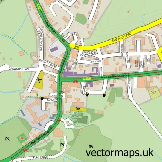
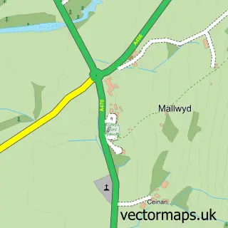
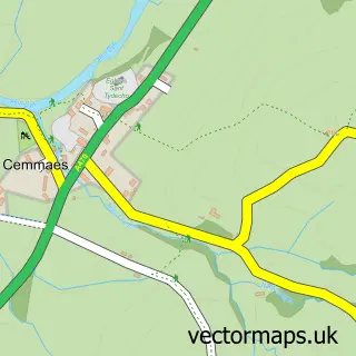
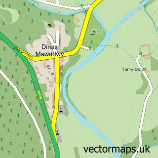
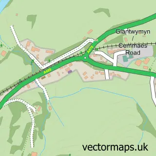
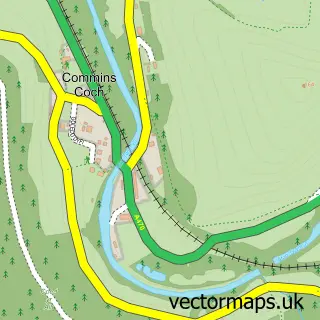
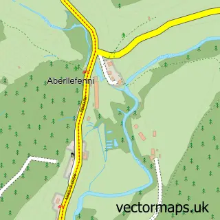
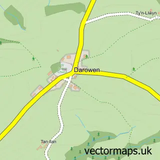
Nearby street map samples around Aberangell

More street maps in Gwynedd
750 metre map area coverage
Boundary, postcode and point of interest information for the 750m x 750m rectangle centred on this sample map.
Boundaries containing map centre
Constituency: Dwyfor Meirionnydd Co Const
District: Gwynedd - Gwynedd
Icb: Powys Teaching
Parish: Mawddwy Community
Police Force: north wales
Postcode District: SY20
Postcode Sector: SY20 9
Nearby boundaries intersecting sample
Constituency: Montgomeryshire and Glyndwr Co Const
District: Powys - Powys
Icb: Betsi Cadwaladr University
Parish: Glantwymyn Community
Police Force: dyfed-powys
Postcode coverage
POI category counts
Appliance Store: 1
Arts And Entertainment: 1
Train Station: 1
Sample points of interest
- Poppins Appliance Repairs
- Aberangell
- Aberangell railway station
Create a larger editable map of Aberangell
This sample shows only a 750 metre area. To create a larger map of Aberangell, use our map builder to choose your own coverage area, add titles and download editable SVG, PDF and PNG files.
Create a custom map of Aberangell