This Llanddewi Brefi street map is a detailed vector street map covering a 750m x 750m area. Select a larger area to create and download your own vector street map of Llanddewi Brefi.
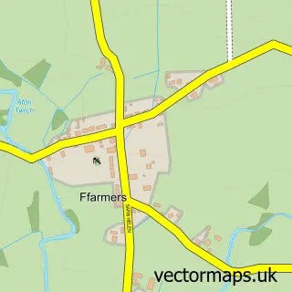
The 750-metre map sample for Llanddewi Brefi covers 145 mapped buildings and approximately 11.2 km of road detail, of which 3 named roads are named. The immediate area includes 1 pub. The wider area around Llanddewi Brefi features 1 tourism point of interest and 1 food and drink venue. To create a larger or custom map of Llanddewi Brefi, the map builder lets you define your own coverage area and download editable SVG, PDF and PNG files.
Create a larger editable map of Llanddewi Brefi
Choose any area you need and generate a high-quality vector map instantly. Perfect for print, planning, design, business and personal use.

This Llanddewi Brefi street map in Dyfed is available as downloadable SVG, PDF and PNG map files, or as a printed map for planning, business, display, education, local information and design work. You can also create a larger custom map area using the map selector.
What this Llanddewi Brefi map sample shows
Llanddewi Brefi lies within Llanddewi Brefi Community parish, part of Llangeitho ward in the Sir Ceredigion - Ceredigion local authority area. The postcode geography for this area includes the SY postcode area, the SY25 postcode district and the SY25 6 postcode sector. Residents fall under the Hywel Dda University Health Board for NHS services.
Local features near Llanddewi Brefi
Within 2 milesAmenities and services in and around Llanddewi Brefi.
Administrative and postcode information for Llanddewi Brefi
Llanddewi Brefi lies within Llanddewi Brefi Community parish, part of Llangeitho ward in the Sir Ceredigion - Ceredigion local authority area. The postcode geography for this area includes the SY postcode area, the SY25 postcode district and the SY25 6 postcode sector. Residents fall under the Hywel Dda University Health Board for NHS services.
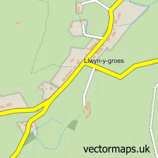
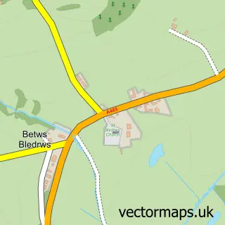
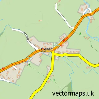
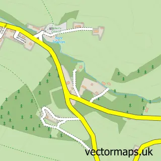
Nearby street map samples around Llanddewi Brefi

More street maps in Dyfed
750 metre map area coverage
Boundary, postcode and point of interest information for the 750m x 750m rectangle centred on this sample map.
Boundaries containing map centre
Constituency: Ceredigion Preseli Co Const
District: Sir Ceredigion - Ceredigion
Icb: Hywel Dda
Parish: Llanddewi Brefi Community
Police Force: dyfed-powys
Postcode District: SY25
Postcode Sector: SY25 6
Nearby boundaries intersecting sample
No additional intersecting boundaries found.
Postcode coverage
POI category counts
Anglican Church: 1
Automotive Repair: 1
Building Supply Store: 1
Home Cleaning: 1
Park: 1
Post Office: 1
Professional Services: 1
Pub: 1
Sports Club And League: 1
Sample points of interest
- Eglwys Dewi Sant
- Evans remapping services
- First Call Services
- I Like Cleaning
- Neuadd a Parc Llanddewi Brefi Hall and Park
- Llanddewi Brefi post office
- Ystwyth Agile Coaching LTD
- The New Inn
- Dewi Stars Football Club
Create a larger editable map of Llanddewi Brefi
This sample shows only a 750 metre area. To create a larger map of Llanddewi Brefi, use our map builder to choose your own coverage area, add titles and download editable SVG, PDF and PNG files.
Create a custom map of Llanddewi Brefi