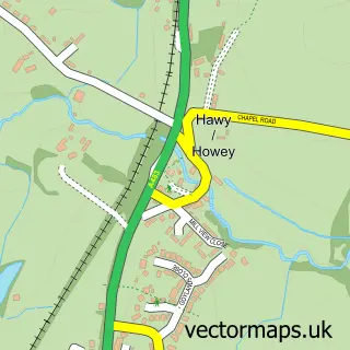
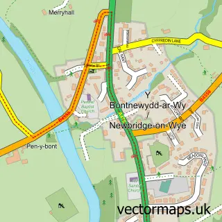
This Llandrindod street map is a detailed vector street map covering a 750m x 750m area. Select a larger area to create and download your own vector street map of Llandrindod.
The 750-metre map sample for Llandrindod covers 313 mapped buildings and approximately 48.7 km of road detail, of which 32 named roads are named. The immediate area includes 1 school, 1 railway station, 4 pubs and 3 MOT stations within 2 miles. The wider area around Llandrindod features 3 tourism points of interest, 11 food and drink venues and 6 hotels. To create a larger or custom map of Llandrindod, the map builder lets you define your own coverage area and download editable SVG, PDF and PNG files.
Create a larger editable map of Llandrindod
Choose any area you need and generate a high-quality vector map instantly. Perfect for print, planning, design, business and personal use.

This Llandrindod street map in Powys is available as downloadable SVG, PDF and PNG map files, or as a printed map for planning, business, display, education, local information and design work. You can also create a larger custom map area using the map selector.
What this Llandrindod map sample shows
Llandrindod lies within Llandrindod Wells Community parish, part of Llandrindod East/Llandrindod West ward in the Powys - Powys local authority area. The postcode geography for this area includes the LD postcode area, the LD1 postcode district and the LD1 5 postcode sector. Residents fall under the Powys Teaching Health Board for NHS services.
Local features near Llandrindod
Within 2 milesAmenities and services in and around Llandrindod.
Administrative and postcode information for Llandrindod
The local authority covering Llandrindod is Powys - Powys, within the county of Powys. The settlement lies within Llandrindod East/Llandrindod West ward and Llandrindod Wells Community civil parish. The LD1 postcode district and LD1 5 postcode sector serve the immediate area. NHS provision in the area is delivered through Powys Teaching Health Board.
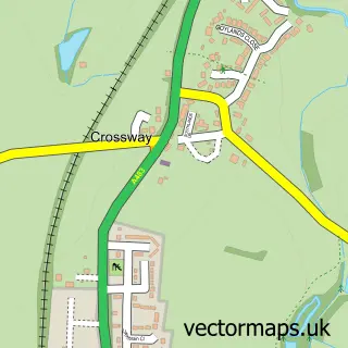
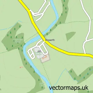
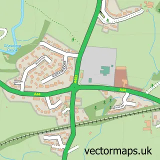
Nearby street map samples around Llandrindod


More street maps in Powys
750 metre map area coverage
Boundary, postcode and point of interest information for the 750m x 750m rectangle centred on this sample map.
Boundaries containing map centre
Constituency: Brecon, Radnor and Cwm Tawe Co Const
District: Powys - Powys
Icb: Powys Teaching
Parish: Llandrindod Wells Community
Police Force: dyfed-powys
Postcode District: LD1
Postcode Sector: LD1 5
Nearby boundaries intersecting sample
Postcode Sector: LD1 6
Postcode coverage
POI category counts
Charity Organization: 10
Professional Services: 9
Community Services Non Profits: 6
Hair Salon: 6
Hotel: 6
Cafe: 5
Real Estate Agent: 5
Bed And Breakfast: 4
Convenience Store: 4
Dentist: 4
Sample points of interest
- Andrew Jones & Co
- Mitchell Meredith Chartered Accountants
- RCH Chartered Accountants
- Back to Roots Gymnastics Club
- Aspired Therapies
- Candyman Antiques
- Jillings Antique Clocks
- Vertex a Q
- Caer Sidi Craft
- The Spa Residential Home
- Principality Building Society
- ATS Euromaster Llandrindod Wells
Create a larger editable map of Llandrindod
This sample shows only a 750 metre area. To create a larger map of Llandrindod, use our map builder to choose your own coverage area, add titles and download editable SVG, PDF and PNG files.
Create a custom map of Llandrindod