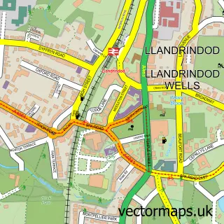
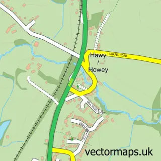
This Newbridge on Wye street map is a detailed vector street map covering a 750m x 750m area. Select a larger area to create and download your own vector street map of Newbridge on Wye.
The 750-metre map sample for Newbridge on Wye covers 228 mapped buildings and approximately 37.4 km of road detail, of which 10 named roads are named. The immediate area includes 1 school, 2 pubs and 1 MOT station, with 2 within 2 miles. The wider area around Newbridge on Wye features 2 food and drink venues and 1 hotel. To create a larger or custom map of Newbridge on Wye, the map builder lets you define your own coverage area and download editable SVG, PDF and PNG files.
Create a larger editable map of Newbridge on Wye
Choose any area you need and generate a high-quality vector map instantly. Perfect for print, planning, design, business and personal use.

This Newbridge on Wye street map in Powys is available as downloadable SVG, PDF and PNG map files, or as a printed map for planning, business, display, education, local information and design work. You can also create a larger custom map area using the map selector.
What this Newbridge on Wye map sample shows
Newbridge on Wye lies within Llanyre Community parish, part of Llanyre ward in the Powys - Powys local authority area. The postcode geography for this area includes the LD postcode area, the LD1 postcode district and the LD1 6 postcode sector. Residents fall under the Powys Teaching Health Board for NHS services.
Local features near Newbridge on Wye
Within 2 milesAmenities and services in and around Newbridge on Wye.
Administrative and postcode information for Newbridge on Wye
Newbridge on Wye lies within Llanyre Community parish, part of Llanyre ward in the Powys - Powys local authority area. The postcode geography for this area includes the LD postcode area, the LD1 postcode district and the LD1 6 postcode sector. Residents fall under the Powys Teaching Health Board for NHS services.
Nearby street map samples around Newbridge on Wye


More street maps in Powys
750 metre map area coverage
Boundary, postcode and point of interest information for the 750m x 750m rectangle centred on this sample map.
Boundaries containing map centre
Constituency: Brecon, Radnor and Cwm Tawe Co Const
District: Powys - Powys
Icb: Powys Teaching
Parish: Llanyre Community
Police Force: dyfed-powys
Postcode District: LD1
Postcode Sector: LD1 6
Nearby boundaries intersecting sample
Parish: Llanafanfawr Community
Postcode coverage
POI category counts
Pub: 2
Antique Store: 1
Automotive Repair: 1
Automotive Services And Repair: 1
Baptist Church: 1
Beauty And Spa: 1
Carpet Store: 1
Church Cathedral: 1
Cremation Services: 1
Education: 1
Sample points of interest
- Newbridge On Wye Antiques
- J a Powell & Sons
- Great House Garage
- Pentref Baptist Church
- hair by phe
- Anvic Carpets
- St David's Church, Llanwrtyd Wells
- N.r.hope & Sons
- Church in Wales Primary School
- Multitech Vibration Control Ltd.
- Barrelhouse Bars
- Pace
Create a larger editable map of Newbridge on Wye
This sample shows only a 750 metre area. To create a larger map of Newbridge on Wye, use our map builder to choose your own coverage area, add titles and download editable SVG, PDF and PNG files.
Create a custom map of Newbridge on Wye