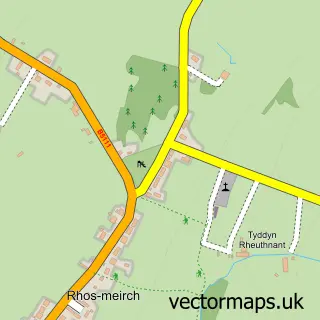
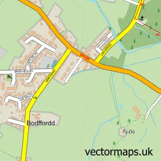
This Llangefni street map is a detailed vector street map covering a 750m x 750m area. Select a larger area to create and download your own vector street map of Llangefni.
The 750-metre map sample for Llangefni covers 337 mapped buildings and approximately 15.7 km of road detail, of which 28 named roads are named. The immediate area includes 2 schools, 1 GP surgery, 5 pubs and 2 MOT stations, with 6 within 2 miles. The wider area around Llangefni features 3 tourism points of interest, 8 food and drink venues and 1 hotel. To create a larger or custom map of Llangefni, the map builder lets you define your own coverage area and download editable SVG, PDF and PNG files.
Create a larger editable map of Llangefni
Choose any area you need and generate a high-quality vector map instantly. Perfect for print, planning, design, business and personal use.

This Llangefni street map in Gwynedd is available as downloadable SVG, PDF and PNG map files, or as a printed map for planning, business, display, education, local information and design work. You can also create a larger custom map area using the map selector.
What this Llangefni map sample shows
Llangefni lies within Llangefni Community parish, part of Canolbarth Mwn ward in the Sir Ynys Mon - Isle Of Anglesey local authority area. The postcode geography for this area includes the LL postcode area, the LL77 postcode district and the LL77 7 postcode sector. Residents fall under the Betsi Cadwaladr University Health Board for NHS services.
Local features near Llangefni
Within 2 milesAmenities and services in and around Llangefni.
Administrative and postcode information for Llangefni
Llangefni lies within Llangefni Community parish, part of Canolbarth Mwn ward in the Sir Ynys Mon - Isle Of Anglesey local authority area. The postcode geography for this area includes the LL postcode area, the LL77 postcode district and the LL77 7 postcode sector. Residents fall under the Betsi Cadwaladr University Health Board for NHS services.
Nearby street map samples around Llangefni

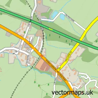
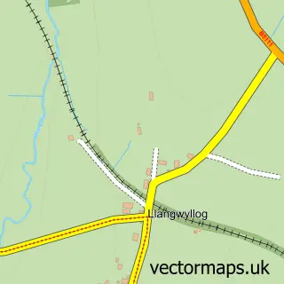

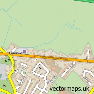
More street maps in Gwynedd
750 metre map area coverage
Boundary, postcode and point of interest information for the 750m x 750m rectangle centred on this sample map.
Boundaries containing map centre
Constituency: Ynys Mon Co Const
District: Sir Ynys Mon - Isle of Anglesey
Icb: Betsi Cadwaladr University
Parish: Llangefni Community
Police Force: north wales
Postcode District: LL77
Postcode Sector: LL77 7
Nearby boundaries intersecting sample
No additional intersecting boundaries found.
Postcode coverage
POI category counts
Beauty Salon: 13
Hair Salon: 6
Professional Services: 5
Pub: 5
Bank Credit Union: 4
Barber: 4
Building Supply Store: 4
Flowers And Gifts Shop: 4
Furniture Store: 4
Supermarket: 4
Sample points of interest
- Dafydd Hughes & Co
- Tax Driven Accountants
- TaxAssist Accountants
- Llangefni Golf Course
- Acer Marketing Communications
- British Red Cross
- Oriel Daniel Gallery
- Melts and Treats
- Cashpoint® 23 High Street
- Siop Ellis (CENNOX)
- All Wales Auction
- Principality Building Society
Create a larger editable map of Llangefni
This sample shows only a 750 metre area. To create a larger map of Llangefni, use our map builder to choose your own coverage area, add titles and download editable SVG, PDF and PNG files.
Create a custom map of Llangefni