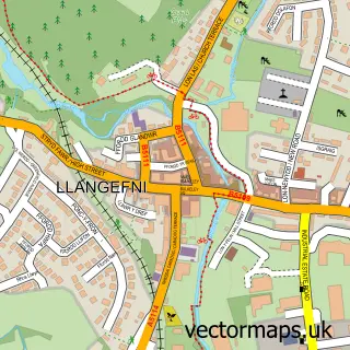
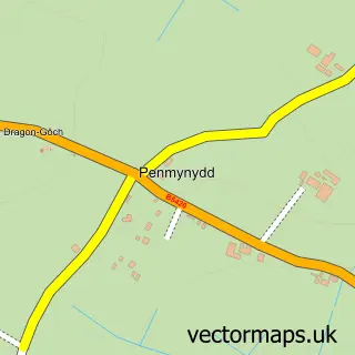
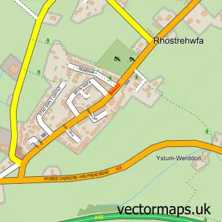
This Gaerwen street map is a detailed vector street map covering a 750m x 750m area. Select a larger area to create and download your own vector street map of Gaerwen.
The 750-metre map sample for Gaerwen covers 302 mapped buildings and approximately 10.3 km of road detail, of which 14 named roads are named. The immediate area includes 1 school, 1 GP surgery and 4 MOT stations within 2 miles. To create a larger or custom map of Gaerwen, the map builder lets you define your own coverage area and download editable SVG, PDF and PNG files.
Create a larger editable map of Gaerwen
Choose any area you need and generate a high-quality vector map instantly. Perfect for print, planning, design, business and personal use.

This Gaerwen street map in Gwynedd is available as downloadable SVG, PDF and PNG map files, or as a printed map for planning, business, display, education, local information and design work. You can also create a larger custom map area using the map selector.
What this Gaerwen map sample shows
Gaerwen lies within Llanfihangel Ysgeifiog Community parish, part of Bro Rhosyr ward in the Sir Ynys Mon - Isle Of Anglesey local authority area. The postcode geography for this area includes the LL postcode area, the LL60 postcode district and the LL60 6 postcode sector. Residents fall under the Betsi Cadwaladr University Health Board for NHS services.
Local features near Gaerwen
Within 2 milesAmenities and services in and around Gaerwen.
Administrative and postcode information for Gaerwen
The local authority covering Gaerwen is Sir Ynys Mon - Isle Of Anglesey, within the county of Gwynedd. The settlement lies within Bro Rhosyr ward and Llanfihangel Ysgeifiog Community civil parish. The LL60 postcode district and LL60 6 postcode sector serve the immediate area. NHS provision in the area is delivered through Betsi Cadwaladr University Health Board.
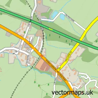
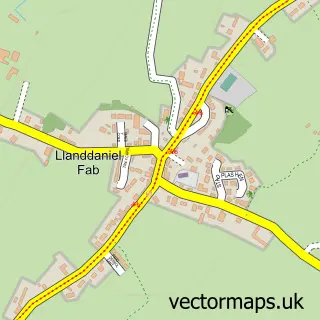
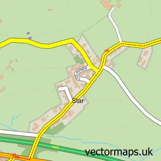
Nearby street map samples around Gaerwen

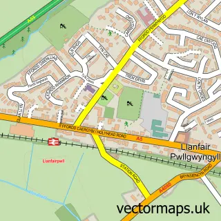
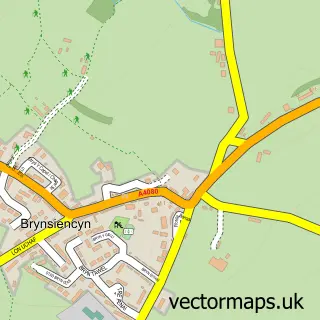
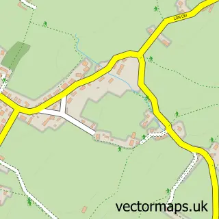
More street maps in Gwynedd
750 metre map area coverage
Boundary, postcode and point of interest information for the 750m x 750m rectangle centred on this sample map.
Boundaries containing map centre
Constituency: Ynys Mon Co Const
District: Sir Ynys Mon - Isle of Anglesey
Icb: Betsi Cadwaladr University
Parish: Llanfihangel Ysgeifiog Community
Police Force: north wales
Postcode District: LL60
Postcode Sector: LL60 6
Nearby boundaries intersecting sample
No additional intersecting boundaries found.
Postcode coverage
POI category counts
Convenience Store: 2
Furniture Store: 2
Home Service: 2
Pet Boarding: 2
Shipping Center: 2
Appliance Repair Service: 1
Architectural Designer: 1
Atms: 1
Automotive: 1
Bakery: 1
Sample points of interest
- My Vintage Radio
- Outline Building Solutions
- Stermat Hardware/Nisa Store (Protected)
- Matthews Auto Salvage
- Becws Môn
- Huws Gray Gaerwen
- Anglesey Oil Ltd
- Practical Car & Van Rental
- Dazzling Carpet Cleaning
- The Church of Jesus Christ of Latter-day Saints
- Canolfan Esceifiog
- McColl's
Create a larger editable map of Gaerwen
This sample shows only a 750 metre area. To create a larger map of Gaerwen, use our map builder to choose your own coverage area, add titles and download editable SVG, PDF and PNG files.
Create a custom map of Gaerwen