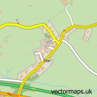
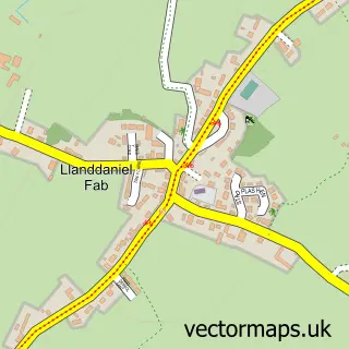
This Llanfairpwllgwyngyll street map is a detailed vector street map covering a 750m x 750m area. Select a larger area to create and download your own vector street map of Llanfairpwllgwyngyll.
The 750-metre map sample for Llanfairpwllgwyngyll covers 376 mapped buildings and approximately 16.0 km of road detail, of which 22 named roads are named. The immediate area includes 1 school, 1 railway station, 1 GP surgery within 2 miles and 2 pubs among other local services. The wider area around Llanfairpwllgwyngyll features 1 tourism point of interest, 2 food and drink venues and 2 campsites within 2 miles. To create a larger or custom map of Llanfairpwllgwyngyll, the map builder lets you define your own coverage area and download editable SVG, PDF and PNG files.
Create a larger editable map of Llanfairpwllgwyngyll
Choose any area you need and generate a high-quality vector map instantly. Perfect for print, planning, design, business and personal use.

This Llanfairpwllgwyngyll street map in Gwynedd is available as downloadable SVG, PDF and PNG map files, or as a printed map for planning, business, display, education, local information and design work. You can also create a larger custom map area using the map selector.
What this Llanfairpwllgwyngyll map sample shows
Llanfairpwllgwyngyll lies within Llanfair Pwllgwyngyll Community parish, part of Aethwy ward in the Sir Ynys Mon - Isle Of Anglesey local authority area. The postcode geography for this area includes the LL postcode area, the LL61 postcode district and the LL61 5 postcode sector. Residents fall under the Betsi Cadwaladr University Health Board for NHS services.
Local features near Llanfairpwllgwyngyll
Within 2 milesAmenities and services in and around Llanfairpwllgwyngyll.
Administrative and postcode information for Llanfairpwllgwyngyll
The local authority covering Llanfairpwllgwyngyll is Sir Ynys Mon - Isle Of Anglesey, within the county of Gwynedd. The settlement lies within Aethwy ward and Llanfair Pwllgwyngyll Community civil parish. The LL61 postcode district and LL61 5 postcode sector serve the immediate area. NHS provision in the area is delivered through Betsi Cadwaladr University Health Board.
Nearby street map samples around Llanfairpwllgwyngyll


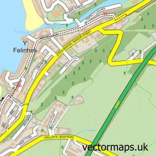
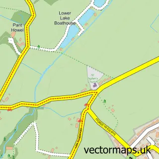
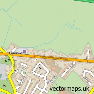
More street maps in Gwynedd
750 metre map area coverage
Boundary, postcode and point of interest information for the 750m x 750m rectangle centred on this sample map.
Boundaries containing map centre
Constituency: Ynys Mon Co Const
District: Sir Ynys Mon - Isle of Anglesey
Icb: Betsi Cadwaladr University
Parish: Llanfair Pwllgwyngyll Community
Police Force: north wales
Postcode District: LL61
Postcode Sector: LL61 5
Nearby boundaries intersecting sample
Parish: Penmynydd Community
Postcode Sector: LL61 6
Postcode coverage
POI category counts
Gas Station: 5
Train Station: 4
Beauty Salon: 3
Building Supply Store: 3
Clothing Store: 3
Post Office: 3
Assisted Living Facility: 2
Beauty And Spa: 2
Car Dealer: 2
Contractor: 2
Sample points of interest
- Y Gorsaf
- Mon Active Limited
- Oriel Ger Y Fenai
- Plas Garnedd Residential Home
- Plas Mona
- Tyn Lon Garage Ltd
- Maenafon Bakery
- Rubens Barbershop
- Contour Aesthetics North Wales
- Toni Louise beauty
- Rejuve Aesthetics
- Sangeeta's Hair Design
Create a larger editable map of Llanfairpwllgwyngyll
This sample shows only a 750 metre area. To create a larger map of Llanfairpwllgwyngyll, use our map builder to choose your own coverage area, add titles and download editable SVG, PDF and PNG files.
Create a custom map of Llanfairpwllgwyngyll