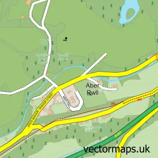
This Y Felinheli street map is a detailed vector street map covering a 750m x 750m area. Select a larger area to create and download your own vector street map of Y Felinheli.
The 750-metre map sample for Y Felinheli covers 180 mapped buildings and approximately 21.1 km of road detail, of which 18 named roads are named. The immediate area includes 4 pubs and 1 MOT station, with 4 within 2 miles. The wider area around Y Felinheli features 7 food and drink venues, 2 hotels and 1 campsite within 2 miles. To create a larger or custom map of Y Felinheli, the map builder lets you define your own coverage area and download editable SVG, PDF and PNG files.
Create a larger editable map of Y Felinheli
Choose any area you need and generate a high-quality vector map instantly. Perfect for print, planning, design, business and personal use.

This Y Felinheli street map in Gwynedd is available as downloadable SVG, PDF and PNG map files, or as a printed map for planning, business, display, education, local information and design work. You can also create a larger custom map area using the map selector.
What this Y Felinheli map sample shows
The postcode geography for this area includes the LL postcode area, the LL56 postcode district and the LL56 4 postcode sector. Residents fall under the Betsi Cadwaladr University Health Board for NHS services.
Local features near Y Felinheli
Within 2 milesAmenities and services in and around Y Felinheli.
Administrative and postcode information for Y Felinheli
The postcode geography for this area includes the LL postcode area, the LL56 postcode district and the LL56 4 postcode sector. Residents fall under the Betsi Cadwaladr University Health Board for NHS services.
Nearby street map samples around Y Felinheli


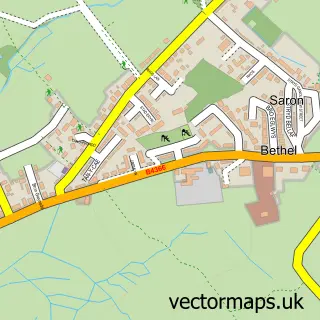
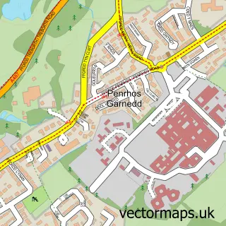
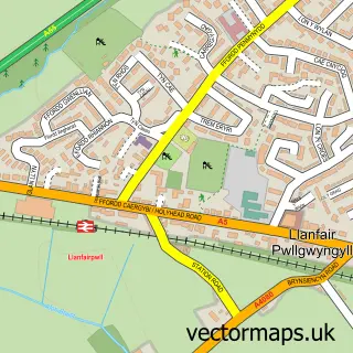
More street maps in Gwynedd
750 metre map area coverage
Boundary, postcode and point of interest information for the 750m x 750m rectangle centred on this sample map.
Boundaries containing map centre
Constituency: Dwyfor Meirionnydd Co Const
District: Gwynedd - Gwynedd
Icb: Betsi Cadwaladr University
Parish: Y Felinheli Community
Police Force: north wales
Postcode District: LL56
Postcode Sector: LL56 4
Nearby boundaries intersecting sample
No additional intersecting boundaries found.
Postcode coverage
POI category counts
Pub: 4
Beauty Salon: 2
Holiday Rental Home: 2
Hotel: 2
Professional Services: 2
Shipping Center: 2
Web Designer: 2
Boat Rental And Training: 1
Building Supply Store: 1
Business Equipment And Supply: 1
Sample points of interest
- Beauty By Maryam
- RIAH salon hair by Selina
- North Wales Power and Sail
- Eric and Rob Humphreys Surfacing
- Rawson Digital - North West Wales
- Swellies Cafe
- Chans Takeaway
- The Swellies
- Contact a Family
- Londis LONDIS Y FELINHELI
- Assignment Help
- Amcan
Create a larger editable map of Y Felinheli
This sample shows only a 750 metre area. To create a larger map of Y Felinheli, use our map builder to choose your own coverage area, add titles and download editable SVG, PDF and PNG files.
Create a custom map of Y Felinheli