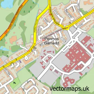
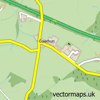
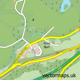
This Porthaethwy / Menai Bridge street map is a detailed vector street map covering a 750m x 750m area. Select a larger area to create and download your own vector street map of Porthaethwy / Menai Bridge.
The 750-metre map sample for Porthaethwy / Menai Bridge covers 287 mapped buildings and approximately 15.6 km of road detail, of which 30 named roads are named. The immediate area includes 1 school, 1 GP surgery, 11 pubs and 1 MOT station, with 10 within 2 miles. The wider area around Porthaethwy / Menai Bridge features 5 tourism points of interest, 28 food and drink venues and 3 hotels. To create a larger or custom map of Porthaethwy / Menai Bridge, the map builder lets you define your own coverage area and download editable SVG, PDF and PNG files.
Create a larger editable map of Porthaethwy / Menai Bridge
Choose any area you need and generate a high-quality vector map instantly. Perfect for print, planning, design, business and personal use.

This Porthaethwy / Menai Bridge street map in Gwynedd is available as downloadable SVG, PDF and PNG map files, or as a printed map for planning, business, display, education, local information and design work. You can also create a larger custom map area using the map selector.
What this Porthaethwy / Menai Bridge map sample shows
Porthaethwy / Menai Bridge lies within Menai Bridge Community parish, part of Aethwy ward in the Sir Ynys Mon - Isle Of Anglesey local authority area. The postcode geography for this area includes the LL postcode area, the LL59 postcode district and the LL59 5 postcode sector. Local NHS services are provided through Betsi Cadwaladr University Health Board.
Local features near Porthaethwy / Menai Bridge
Within 2 milesAmenities and services in and around Porthaethwy / Menai Bridge.
Administrative and postcode information for Porthaethwy / Menai Bridge
The local authority covering Porthaethwy / Menai Bridge is Sir Ynys Mon - Isle Of Anglesey, within the county of Gwynedd. The settlement lies within Aethwy ward and Menai Bridge Community civil parish. The LL59 postcode district and LL59 5 postcode sector serve the immediate area. NHS provision in the area is delivered through Betsi Cadwaladr University Health Board.
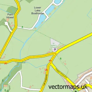
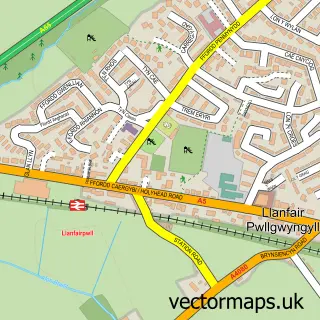
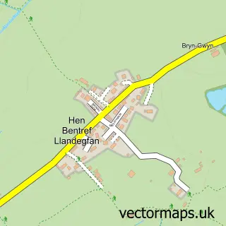
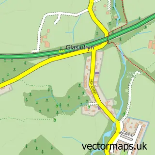
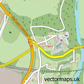
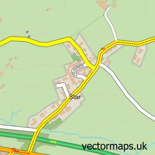
Nearby street map samples around Porthaethwy / Menai Bridge

More street maps in Gwynedd
750 metre map area coverage
Boundary, postcode and point of interest information for the 750m x 750m rectangle centred on this sample map.
Boundaries containing map centre
Constituency: Ynys Mon Co Const
District: Sir Ynys Mon - Isle of Anglesey
Icb: Betsi Cadwaladr University
Parish: Menai Bridge Community
Police Force: north wales
Postcode District: LL59
Postcode Sector: LL59 5
Nearby boundaries intersecting sample
Parish: Bangor Community
Postcode coverage
POI category counts
Pub: 11
Beauty Salon: 10
Restaurant: 7
Coffee Shop: 6
Hair Salon: 6
Cafe: 4
Dentist: 4
Landmark And Historical Building: 4
Antique Store: 3
Banks: 3
Sample points of interest
- Newborough Forest
- Sbarc
- Leaf Health
- Bro Tysilio
- 42a Interiors & Antiques
- Hawthorn Yard
- Merlin's Cave Antiques
- Meirionfa
- Shell Britannia (641)
- Grosvenor Garage
- Castle Bakery
- Pumpkin Seed Bakery
Create a larger editable map of Porthaethwy / Menai Bridge
This sample shows only a 750 metre area. To create a larger map of Porthaethwy / Menai Bridge, use our map builder to choose your own coverage area, add titles and download editable SVG, PDF and PNG files.
Create a custom map of Porthaethwy / Menai Bridge