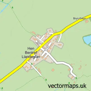
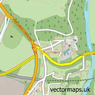
This Llangoed street map is a detailed vector street map covering a 750m x 750m area. Select a larger area to create and download your own vector street map of Llangoed.
The 750-metre map sample for Llangoed covers 268 mapped buildings and approximately 11.9 km of road detail, of which 10 named roads are named. The wider area around Llangoed features 1 campsite within 2 miles. To create a larger or custom map of Llangoed, the map builder lets you define your own coverage area and download editable SVG, PDF and PNG files.
Create a larger editable map of Llangoed
Choose any area you need and generate a high-quality vector map instantly. Perfect for print, planning, design, business and personal use.

This Llangoed street map in Gwynedd is available as downloadable SVG, PDF and PNG map files, or as a printed map for planning, business, display, education, local information and design work. You can also create a larger custom map area using the map selector.
What this Llangoed map sample shows
Llangoed lies within Llangoed Community parish, part of Seiriol ward in the Sir Ynys Mon - Isle Of Anglesey local authority area. The postcode geography for this area includes the LL postcode area, the LL58 postcode district and the LL58 8 postcode sector. Residents fall under the Betsi Cadwaladr University Health Board for NHS services.
Local features near Llangoed
Within 2 milesAmenities and services in and around Llangoed.
Administrative and postcode information for Llangoed
Llangoed lies within Llangoed Community parish, part of Seiriol ward in the Sir Ynys Mon - Isle Of Anglesey local authority area. The postcode geography for this area includes the LL postcode area, the LL58 postcode district and the LL58 8 postcode sector. Residents fall under the Betsi Cadwaladr University Health Board for NHS services.
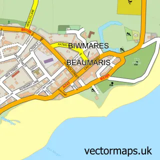
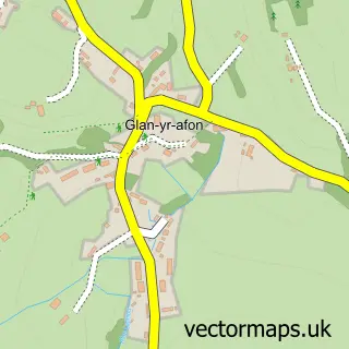
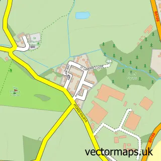
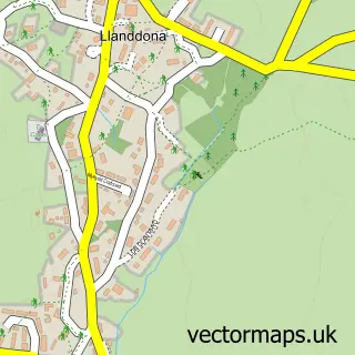
Nearby street map samples around Llangoed

More street maps in Gwynedd
750 metre map area coverage
Boundary, postcode and point of interest information for the 750m x 750m rectangle centred on this sample map.
Boundaries containing map centre
Constituency: Ynys Mon Co Const
District: Sir Ynys Mon - Isle of Anglesey
Icb: Betsi Cadwaladr University
Parish: Llangoed Community
Police Force: north wales
Postcode District: LL58
Postcode Sector: LL58 8
Nearby boundaries intersecting sample
No additional intersecting boundaries found.
Postcode coverage
POI category counts
Community Services Non Profits: 2
Convenience Store: 2
Holiday Rental Home: 2
Shipping Center: 2
Beach: 1
Cottage: 1
Elementary School: 1
Home Service: 1
Hospital: 1
Pet Store: 1
Sample points of interest
- Penmon Beach
- Coedwig Môn - Anglesey Woods
- Seiriol Men's Shed
- McColls
- Morrisons Daily
- 3 Pant y Celyn
- Ysgol Gynradd Llangoed
- Lleiniog Holiday Cottages
- Tan Rallt Bach
- Caban y Coed
- Beaumaris Health Centre/ Canolfan Iechyd Biwmares
- The Pet Shack
Create a larger editable map of Llangoed
This sample shows only a 750 metre area. To create a larger map of Llangoed, use our map builder to choose your own coverage area, add titles and download editable SVG, PDF and PNG files.
Create a custom map of Llangoed