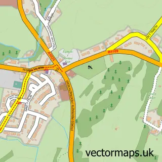
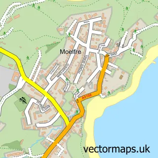
This Red Wharf Bay street map is a detailed vector street map covering a 750m x 750m area. Select a larger area to create and download your own vector street map of Red Wharf Bay.
The 750-metre map sample for Red Wharf Bay covers 38 mapped buildings and approximately 4.6 km of road detail, of which 1 named road are named. The immediate area includes 1 pub and 1 MOT station within 2 miles. The wider area around Red Wharf Bay features 1 tourism point of interest, 2 food and drink venues and 2 hotels. To create a larger or custom map of Red Wharf Bay, the map builder lets you define your own coverage area and download editable SVG, PDF and PNG files.
Create a larger editable map of Red Wharf Bay
Choose any area you need and generate a high-quality vector map instantly. Perfect for print, planning, design, business and personal use.

This Red Wharf Bay street map in Gwynedd is available as downloadable SVG, PDF and PNG map files, or as a printed map for planning, business, display, education, local information and design work. You can also create a larger custom map area using the map selector.
What this Red Wharf Bay map sample shows
Red Wharf Bay lies within Llanfair-Mathafarn-Eithaf Community parish, part of Lligwy ward in the Sir Ynys Mon - Isle Of Anglesey local authority area. The postcode geography for this area includes the LL postcode area, the LL75 postcode district and the LL75 8 postcode sector. Residents fall under the Betsi Cadwaladr University Health Board for NHS services.
Local features near Red Wharf Bay
Within 2 milesAmenities and services in and around Red Wharf Bay.
Administrative and postcode information for Red Wharf Bay
Red Wharf Bay lies within Llanfair-Mathafarn-Eithaf Community parish, part of Lligwy ward in the Sir Ynys Mon - Isle Of Anglesey local authority area. The postcode geography for this area includes the LL postcode area, the LL75 postcode district and the LL75 8 postcode sector. Residents fall under the Betsi Cadwaladr University Health Board for NHS services.
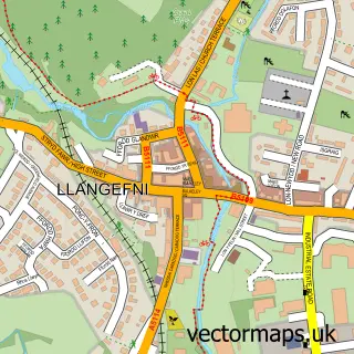
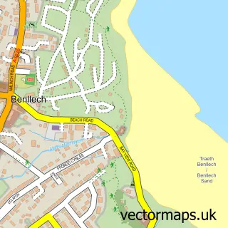
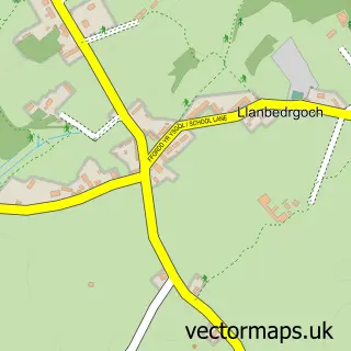
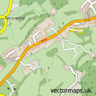
Nearby street map samples around Red Wharf Bay

More street maps in Gwynedd
750 metre map area coverage
Boundary, postcode and point of interest information for the 750m x 750m rectangle centred on this sample map.
Boundaries containing map centre
Constituency: Ynys Mon Co Const
District: Sir Ynys Mon - Isle of Anglesey
Icb: Betsi Cadwaladr University
Parish: Llanfair-Mathafarn-Eithaf Community
Police Force: north wales
Postcode District: LL75
Postcode Sector: LL75 8
Nearby boundaries intersecting sample
Parish: Pentraeth Community
Postcode coverage
POI category counts
Beach: 2
Hotel: 2
Bar: 1
Campground: 1
Cottage: 1
Holiday Rental Home: 1
Pet Boarding: 1
Pub: 1
Restaurant: 1
Sports Club And League: 1
Sample points of interest
- The Tavern on The Bay
- Red Wharf Bay Vineyard
- Seafront
- St. David's Park
- Red Wharf Cottage Sea Side Holiday Let Anglesey
- St. David's Leisure
- Beach House Anglesey
- The Ship Inn, Red Warf Bay, Anglesey
- Porthllongdy Farm & Caravan Site - Holiday Cottages & Caravan Site
- The Ship Inn
- The Boathouse
- Traeth Coch Sailing Club
Create a larger editable map of Red Wharf Bay
This sample shows only a 750 metre area. To create a larger map of Red Wharf Bay, use our map builder to choose your own coverage area, add titles and download editable SVG, PDF and PNG files.
Create a custom map of Red Wharf Bay