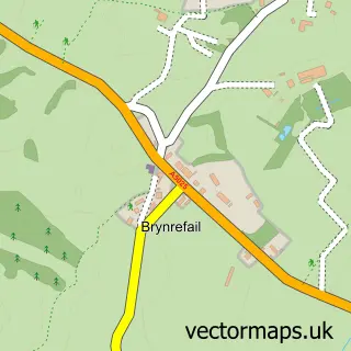
This Brynteg street map is a detailed vector street map covering a 750m x 750m area. Select a larger area to create and download your own vector street map of Brynteg.
The 750-metre map sample for Brynteg covers 161 mapped buildings and approximately 9.4 km of road detail, of which 3 named roads are named. The immediate area includes 1 pub and 1 MOT station. The wider area around Brynteg features 2 tourism points of interest, 1 food and drink venue and 6 campsites within 2 miles. To create a larger or custom map of Brynteg, the map builder lets you define your own coverage area and download editable SVG, PDF and PNG files.
Create a larger editable map of Brynteg
Choose any area you need and generate a high-quality vector map instantly. Perfect for print, planning, design, business and personal use.

This Brynteg street map in Gwynedd is available as downloadable SVG, PDF and PNG map files, or as a printed map for planning, business, display, education, local information and design work. You can also create a larger custom map area using the map selector.
What this Brynteg map sample shows
Brynteg lies within Llanfair-Mathafarn-Eithaf Community parish, part of Lligwy ward in the Sir Ynys Mon - Isle Of Anglesey local authority area. The postcode geography for this area includes the LL postcode area, the LL78 postcode district and the LL78 8 postcode sector. Residents fall under the Betsi Cadwaladr University Health Board for NHS services.
Local features near Brynteg
Within 2 milesAmenities and services in and around Brynteg.
Administrative and postcode information for Brynteg
The local authority covering Brynteg is Sir Ynys Mon - Isle Of Anglesey, within the county of Gwynedd. The settlement lies within Lligwy ward and Llanfair-Mathafarn-Eithaf Community civil parish. The LL78 postcode district and LL78 8 postcode sector serve the immediate area. NHS provision in the area is delivered through Betsi Cadwaladr University Health Board.
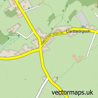
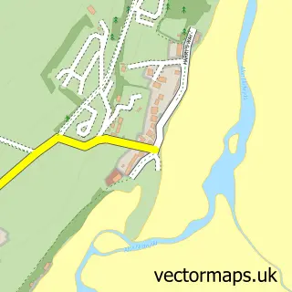
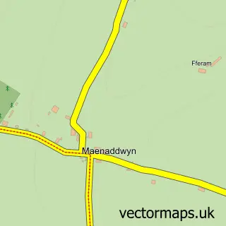
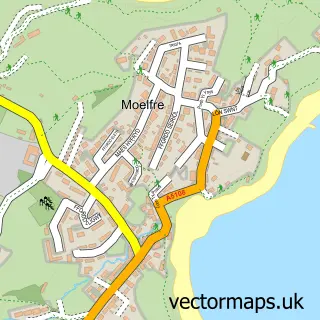
Nearby street map samples around Brynteg

More street maps in Gwynedd
750 metre map area coverage
Boundary, postcode and point of interest information for the 750m x 750m rectangle centred on this sample map.
Boundaries containing map centre
Constituency: Ynys Mon Co Const
District: Sir Ynys Mon - Isle of Anglesey
Icb: Betsi Cadwaladr University
Parish: Llanfair-Mathafarn-Eithaf Community
Police Force: north wales
Postcode District: LL78
Postcode Sector: LL78 8
Nearby boundaries intersecting sample
Parish: Llaneugrad Community
Postcode Sector: LL78 7
Postcode coverage
POI category counts
Campground: 1
Contractor: 1
Fast Food Restaurant: 1
Golf Course: 1
Indian Restaurant: 1
Park: 1
Photography Store And Services: 1
Pub: 1
Resort: 1
Sample points of interest
- Nant Newydd
- BMP Building & Construction
- Jack’s Burger Brynteg , Benllech
- Storws Wen Golf Club
- Benllech Tandoori
- Tyddyn Osgar Caravan Park
- Alive Photography
- The California Hotel
- The California Hotel
Create a larger editable map of Brynteg
This sample shows only a 750 metre area. To create a larger map of Brynteg, use our map builder to choose your own coverage area, add titles and download editable SVG, PDF and PNG files.
Create a custom map of Brynteg