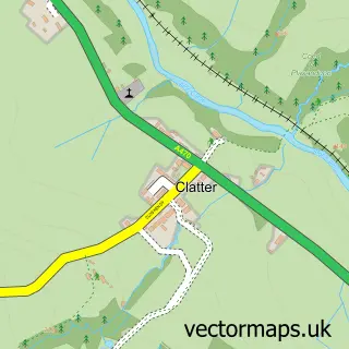
This Llanidloes street map is a detailed vector street map covering a 750m x 750m area. Select a larger area to create and download your own vector street map of Llanidloes.
The 750-metre map sample for Llanidloes covers 277 mapped buildings and approximately 17.4 km of road detail, of which 36 named roads are named. The immediate area includes 9 pubs and 2 MOT stations, with 3 within 2 miles. The wider area around Llanidloes features 4 tourism points of interest, 18 food and drink venues and 6 hotels. To create a larger or custom map of Llanidloes, the map builder lets you define your own coverage area and download editable SVG, PDF and PNG files.
Create a larger editable map of Llanidloes
Choose any area you need and generate a high-quality vector map instantly. Perfect for print, planning, design, business and personal use.

This Llanidloes street map in Powys is available as downloadable SVG, PDF and PNG map files, or as a printed map for planning, business, display, education, local information and design work. You can also create a larger custom map area using the map selector.
What this Llanidloes map sample shows
Llanidloes lies within Llanidloes Community parish, part of Llanidloes ward in the Powys - Powys local authority area. The postcode geography for this area includes the SY postcode area, the SY18 postcode district and the SY18 6 postcode sector. Residents fall under the Powys Teaching Health Board for NHS services.
Local features near Llanidloes
Within 2 milesAmenities and services in and around Llanidloes.
Administrative and postcode information for Llanidloes
Llanidloes lies within Llanidloes Community parish, part of Llanidloes ward in the Powys - Powys local authority area. The postcode geography for this area includes the SY postcode area, the SY18 postcode district and the SY18 6 postcode sector. Residents fall under the Powys Teaching Health Board for NHS services.
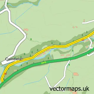
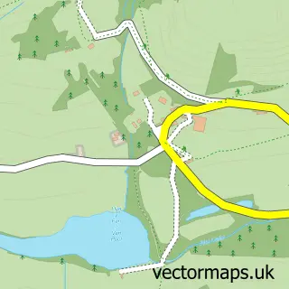
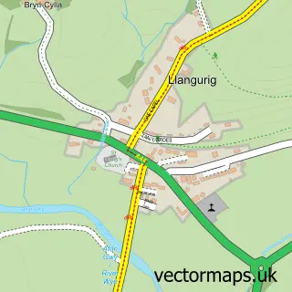
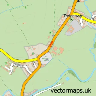
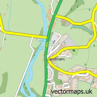
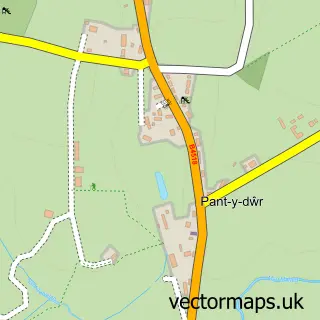
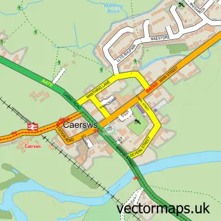
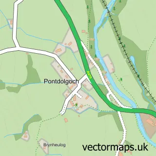
Nearby street map samples around Llanidloes

More street maps in Powys
750 metre map area coverage
Boundary, postcode and point of interest information for the 750m x 750m rectangle centred on this sample map.
Boundaries containing map centre
Constituency: Montgomeryshire and Glyndwr Co Const
District: Powys - Powys
Icb: Powys Teaching
Parish: Llanidloes Community
Police Force: dyfed-powys
Postcode District: SY18
Postcode Sector: SY18 6
Nearby boundaries intersecting sample
No additional intersecting boundaries found.
Postcode coverage
POI category counts
Pub: 9
Cafe: 5
Hotel: 5
Art Gallery: 4
Convenience Store: 4
Flowers And Gifts Shop: 4
Doctor: 3
Fish And Chips Restaurant: 3
Grocery Store: 3
Hair Salon: 3
Sample points of interest
- Yamaha Off Road Experience
- Apricot Forest
- Dol-Llys Suffolks
- Bro Arwystli Church Office
- Hen Bethau Llanidloes
- Llanidloes antique centre
- Art by Osian
- Llanidloes Christmas Arts & Craft Fair
- Quilt Association
- The Quilt Association
- Minerva Arts Centre
- Raj Mahal
Create a larger editable map of Llanidloes
This sample shows only a 750 metre area. To create a larger map of Llanidloes, use our map builder to choose your own coverage area, add titles and download editable SVG, PDF and PNG files.
Create a custom map of Llanidloes