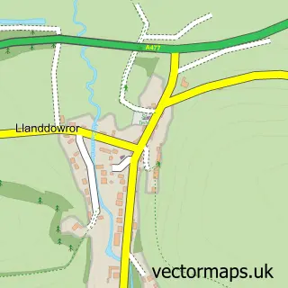
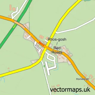
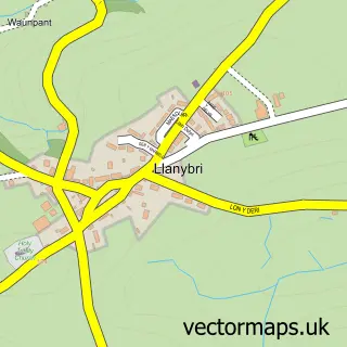
This Llanmiloe street map is a detailed vector street map covering a 750m x 750m area. Select a larger area to create and download your own vector street map of Llanmiloe.
The 750-metre map sample for Llanmiloe covers 84 mapped buildings and approximately 5.9 km of road detail, of which 3 named roads are named. The immediate area includes 1 MOT station within 2 miles. The wider area around Llanmiloe features 2 campsites within 2 miles. To create a larger or custom map of Llanmiloe, the map builder lets you define your own coverage area and download editable SVG, PDF and PNG files.
Create a larger editable map of Llanmiloe
Choose any area you need and generate a high-quality vector map instantly. Perfect for print, planning, design, business and personal use.

This Llanmiloe street map in Dyfed is available as downloadable SVG, PDF and PNG map files, or as a printed map for planning, business, display, education, local information and design work. You can also create a larger custom map area using the map selector.
What this Llanmiloe map sample shows
Llanmiloe lies within Llanddowror Community parish, part of Laugharne Township ward in the Sir Gaerfyrddin - Carmarthenshire local authority area. The postcode geography for this area includes the SA postcode area, the SA33 postcode district and the SA33 4 postcode sector. Residents fall under the Hywel Dda University Health Board for NHS services.
Local features near Llanmiloe
Within 2 milesAmenities and services in and around Llanmiloe.
Administrative and postcode information for Llanmiloe
Llanmiloe lies within Llanddowror Community parish, part of Laugharne Township ward in the Sir Gaerfyrddin - Carmarthenshire local authority area. The postcode geography for this area includes the SA postcode area, the SA33 postcode district and the SA33 4 postcode sector. Residents fall under the Hywel Dda University Health Board for NHS services.
Nearby street map samples around Llanmiloe
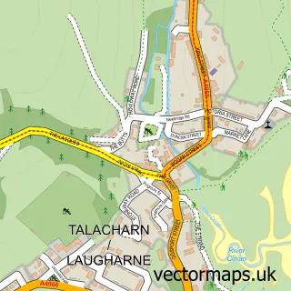

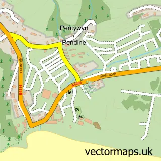
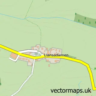
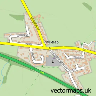
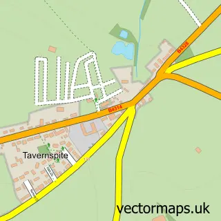
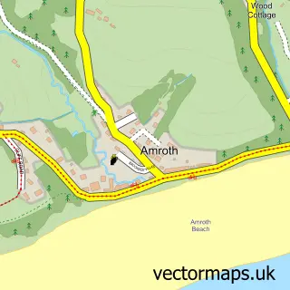
More street maps in Dyfed
750 metre map area coverage
Boundary, postcode and point of interest information for the 750m x 750m rectangle centred on this sample map.
Boundaries containing map centre
Constituency: Caerfyrddin Co Const
District: Sir Gaerfyrddin - Carmarthenshire
Icb: Hywel Dda
Parish: Llanddowror Community
Police Force: dyfed-powys
Postcode District: SA33
Postcode Sector: SA33 4
Nearby boundaries intersecting sample
Parish: Pendine Community
Postcode coverage
POI category counts
Post Office: 2
Nail Salon: 1
Sports Club And League: 1
Tattoo And Piercing: 1
Sample points of interest
- Hanicure Nails
- Llanmiloe Post Office
- Post Office
- Pendine Bowls Club
- Forever and Alwayz
Create a larger editable map of Llanmiloe
This sample shows only a 750 metre area. To create a larger map of Llanmiloe, use our map builder to choose your own coverage area, add titles and download editable SVG, PDF and PNG files.
Create a custom map of Llanmiloe