Vector Maps logo
Home Why it works Popular maps Districts Samples Customizer Create Your Map
VectorMaps.uk
Home Popular maps Districts Samples Customizer Create Your Map Privacy Disclaimer
Home / UK Maps / Dyfed / Amroth Map

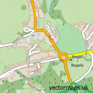
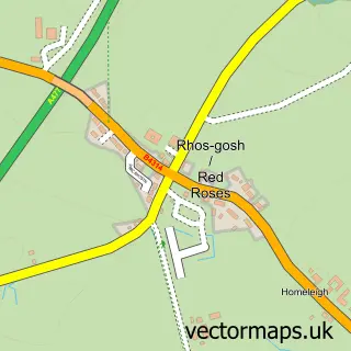
This Amroth street map is a detailed vector street map covering a 750m x 750m area. Select a larger area to create and download your own vector street map of Amroth.

Amroth is a village in Dyfed, in the Mid And West Wales of Wales. Historically, the area formed part of Pembrokeshire. The settlement falls within the Carmarthen West And South Pembrokeshire parliamentary constituency.

The 750-metre map sample for Amroth covers 75 mapped buildings and approximately 7.5 km of road detail, of which 2 named roads are named. The immediate area includes 4 pubs. The wider area around Amroth features 7 food and drink venues, 4 hotels and 5 campsites within 2 miles. To create a larger or custom map of Amroth, the map builder lets you define your own coverage area and download editable SVG, PDF and PNG files.

75Buildings
7.54 kmRoads
2Named roads
611Residents within 2 miles
Create your own

Create a larger editable map of Amroth

Choose any area you need and generate a high-quality vector map instantly. Perfect for print, planning, design, business and personal use.

Choose any location
Editable SVG files
Any size up to A0
PDF, PNG & more
Instant download
High quality guaranteed
Create My Custom Map
Secure, private & no credit card required
Amroth Vector Street Map
750m Sample
Amroth vector street map sample showing roads, buildings and local features in a 750 metre preview area
Buy Amroth Map Print from £12.95 Buy Amroth Digital Map from £6

This Amroth street map in Dyfed is available as downloadable SVG, PDF and PNG map files, or as a printed map for planning, business, display, education, local information and design work. You can also create a larger custom map area using the map selector.

What this Amroth map sample shows

Amroth lies within Amroth Community parish, part of Amroth ward in the Sir Benfro - Pembrokeshire local authority area.

Local features near Amroth

Within 2 miles

Amenities and services in and around Amroth.

5 Campsites within 2 miles
7 Food & drink
4 Pubs
4 Hotels
2 Vehicle services

Counts are approximate and based on publicly available data.

Administrative and postcode information for Amroth

Amroth lies within Amroth Community parish, part of Amroth ward in the Sir Benfro - Pembrokeshire local authority area.

Parish Amroth Community
Ward Amroth
District / local authority Sir Benfro - Pembrokeshire
County Dyfed
Historic county Pembrokeshire
Parliamentary constituency Carmarthen West and South Pembrokeshire
Region Mid and West Wales
Country Wales

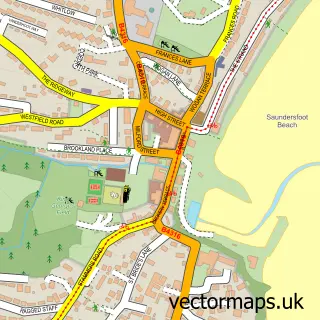
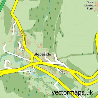
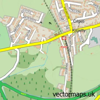
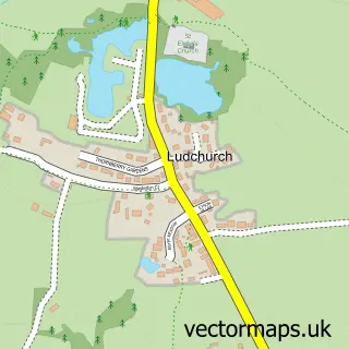
Nearby street map samples around Amroth

Street map sample of Saundersfoot, Dyfed Saundersfoot Town - Dyfed - 2.2 miles Street map sample of St Davids, Dyfed St Davids City - Dyfed - 27.8 miles Street map sample of Stepaside, Dyfed Stepaside Village - Dyfed - 1.6 miles Street map sample of Kilgetty, Dyfed Kilgetty Village - Dyfed - 2.4 miles Street map sample of Ludchurch, Dyfed Ludchurch Village - Dyfed - 2.6 miles Street map sample of Begelly, Dyfed Begelly Village - Dyfed - 2.7 miles Street map sample of Pentlepoir, Dyfed Pentlepoir Village - Dyfed - 2.8 miles Street map sample of New Hedges, Dyfed New Hedges Village - Dyfed - 3.4 miles Street map sample of Tavernspite, Dyfed Tavernspite Village - Dyfed - 3.6 miles Street map sample of Red Roses, Dyfed Red Roses Village - Dyfed - 3.8 miles

More street maps in Dyfed

Street map sample of Stepaside, Dyfed Stepaside Village - 1.6 miles Street map sample of Saundersfoot, Dyfed Saundersfoot Town - 2.2 miles Street map sample of Kilgetty, Dyfed Kilgetty Village - 2.4 miles Street map sample of Ludchurch, Dyfed Ludchurch Village - 2.6 miles Street map sample of Begelly, Dyfed Begelly Village - 2.7 miles

750 metre map area coverage

Boundary, postcode and point of interest information for the 750m x 750m rectangle centred on this sample map.

Boundaries containing map centre

Constituency: Mid and South Pembrokeshire Co Const

District: Sir Benfro - Pembrokeshire

Icb: Hywel Dda

Parish: Amroth Community

Police Force: dyfed-powys

Postcode District: SA67

Postcode Sector: SA67 8

Nearby boundaries intersecting sample

No additional intersecting boundaries found.

Postcode coverage

SA67 SA67 8

POI category counts

Hotel: 4

Pub: 4

Bed And Breakfast: 2

Cottage: 2

Holiday Rental Home: 2

Parking: 2

Bar And Grill Restaurant: 1

Beach: 1

Beach Resort: 1

Cafe: 1

Sample points of interest

  • The Smugglers Bar And Grill Restaurant
  • Amroth Beach Beach
  • Amroth Castle Coastal Park Beach Resort
  • Beach Haven Guest House Bed And Breakfast
  • Mellieha Guest House Bed And Breakfast
  • The Pirate Beach Shop Cafe
  • The Bothy Tea Room Coffee Shop
  • Osborne Shop Convenience Store
  • Amroth Cottages Cottage
  • Amroth Cottages at Furzewood Farm Cottage
  • Redhill Preparatory School Elementary School
  • Celtic Holiday Parks Holiday Rental Home

Create a larger editable map of Amroth

This sample shows only a 750 metre area. To create a larger map of Amroth, use our map builder to choose your own coverage area, add titles and download editable SVG, PDF and PNG files.

Create a custom map of Amroth

Phone 01751 473136 | Copyright Vectormaps.uk 2026

Samples Customizer Privacy Disclaimer
Amroth Vector Street Map
Amroth enlarged street map sample showing a 750 metre preview area