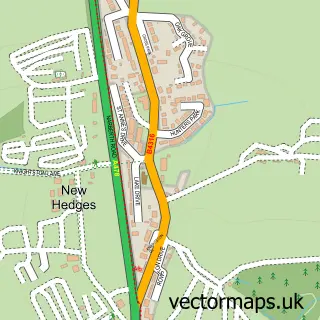
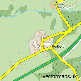
This Saundersfoot street map is a detailed vector street map covering a 750m x 750m area. Select a larger area to create and download your own vector street map of Saundersfoot.
The 750-metre map sample for Saundersfoot covers 313 mapped buildings and approximately 13.9 km of road detail, of which 23 named roads are named. The immediate area includes 1 school, 1 GP surgery within 2 miles, 6 pubs and 4 MOT stations within 2 miles. The wider area around Saundersfoot features 7 tourism points of interest, 16 food and drink venues and 15 hotels. To create a larger or custom map of Saundersfoot, the map builder lets you define your own coverage area and download editable SVG, PDF and PNG files.
Create a larger editable map of Saundersfoot
Choose any area you need and generate a high-quality vector map instantly. Perfect for print, planning, design, business and personal use.

This Saundersfoot street map in Dyfed is available as downloadable SVG, PDF and PNG map files, or as a printed map for planning, business, display, education, local information and design work. You can also create a larger custom map area using the map selector.
What this Saundersfoot map sample shows
Saundersfoot lies within Saundersfoot Community parish, part of Saundersfoot ward in the Sir Benfro - Pembrokeshire local authority area. The postcode geography for this area includes the SA postcode area, the SA69 postcode district and the SA69 9 postcode sector. Residents fall under the Hywel Dda University Health Board for NHS services.
Local features near Saundersfoot
Within 2 milesAmenities and services in and around Saundersfoot.
Administrative and postcode information for Saundersfoot
Saundersfoot lies within Saundersfoot Community parish, part of Saundersfoot ward in the Sir Benfro - Pembrokeshire local authority area. The postcode geography for this area includes the SA postcode area, the SA69 postcode district and the SA69 9 postcode sector. Residents fall under the Hywel Dda University Health Board for NHS services.
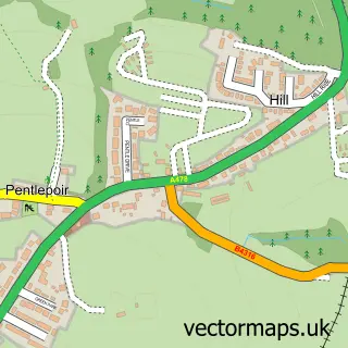
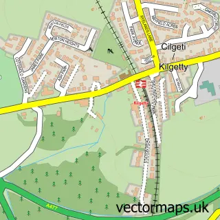
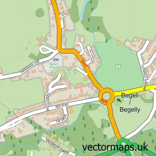
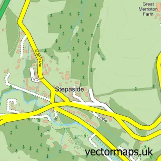
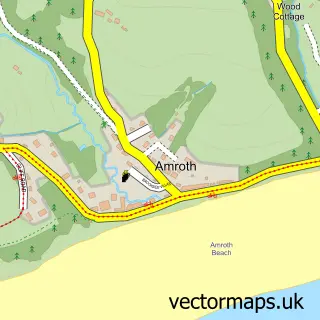
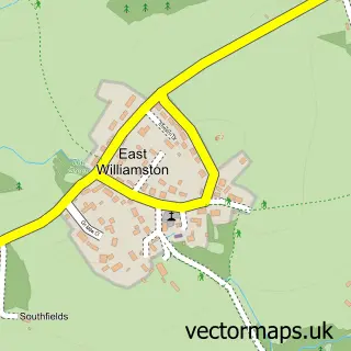
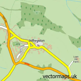
Nearby street map samples around Saundersfoot

More street maps in Dyfed
750 metre map area coverage
Boundary, postcode and point of interest information for the 750m x 750m rectangle centred on this sample map.
Boundaries containing map centre
Constituency: Mid and South Pembrokeshire Co Const
District: Sir Benfro - Pembrokeshire
Icb: Hywel Dda
Parish: Saundersfoot Community
Police Force: dyfed-powys
Postcode District: SA69
Postcode Sector: SA69 9
Nearby boundaries intersecting sample
No additional intersecting boundaries found.
Postcode coverage
POI category counts
Hotel: 15
Holiday Rental Home: 9
Flowers And Gifts Shop: 7
Beauty Salon: 6
Pub: 6
Bed And Breakfast: 4
Restaurant: 4
Seafood Restaurant: 4
Beauty And Spa: 3
Cafe: 3
Sample points of interest
- 1 Cartref Saundersfoot
- Sea Drift, Saundersfoot
- Colby Parkrun
- Folly Farm
- Hourglass Speakeasy Boutique
- Saundersfoot Vintage Antiques 2020
- Periwinkle Pottery
- Blackbird Ceramics
- Kook a Ba
- The Kookaba
- Samhoods
- Comfort Zone
Create a larger editable map of Saundersfoot
This sample shows only a 750 metre area. To create a larger map of Saundersfoot, use our map builder to choose your own coverage area, add titles and download editable SVG, PDF and PNG files.
Create a custom map of Saundersfoot