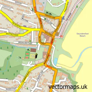
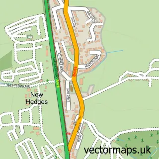
This Begelly street map is a detailed vector street map covering a 750m x 750m area. Select a larger area to create and download your own vector street map of Begelly.
The 750-metre map sample for Begelly covers 210 mapped buildings and approximately 12.0 km of road detail, of which 10 named roads are named. The immediate area includes 1 GP surgery within 2 miles and 1 MOT station, with 3 within 2 miles. The wider area around Begelly features 1 food and drink venue, 1 hotel and 9 campsites within 2 miles. To create a larger or custom map of Begelly, the map builder lets you define your own coverage area and download editable SVG, PDF and PNG files.
Create a larger editable map of Begelly
Choose any area you need and generate a high-quality vector map instantly. Perfect for print, planning, design, business and personal use.

This Begelly street map in Dyfed is available as downloadable SVG, PDF and PNG map files, or as a printed map for planning, business, display, education, local information and design work. You can also create a larger custom map area using the map selector.
What this Begelly map sample shows
Begelly lies within Kilgetty/Begelly Community parish, part of Kilgetty/Begelly ward in the Sir Benfro - Pembrokeshire local authority area. The postcode geography for this area includes the SA postcode area, the SA68 postcode district and the SA68 0 postcode sector. Residents fall under the Hywel Dda University Health Board for NHS services.
Local features near Begelly
Within 2 milesAmenities and services in and around Begelly.
Administrative and postcode information for Begelly
Begelly lies within Kilgetty/Begelly Community parish, part of Kilgetty/Begelly ward in the Sir Benfro - Pembrokeshire local authority area. The postcode geography for this area includes the SA postcode area, the SA68 postcode district and the SA68 0 postcode sector. Residents fall under the Hywel Dda University Health Board for NHS services.
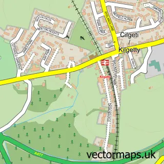
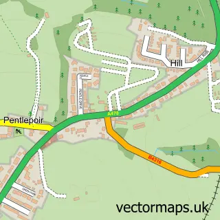
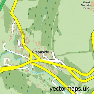
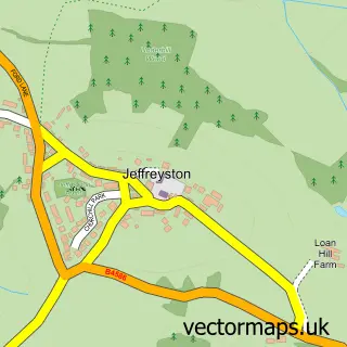
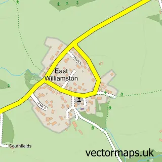
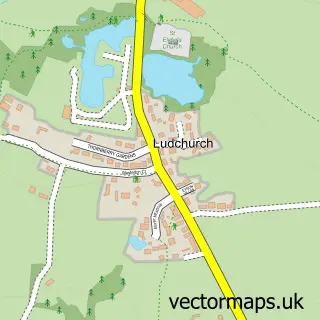
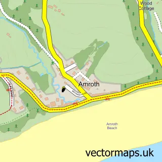
Nearby street map samples around Begelly

More street maps in Dyfed
750 metre map area coverage
Boundary, postcode and point of interest information for the 750m x 750m rectangle centred on this sample map.
Boundaries containing map centre
Constituency: Mid and South Pembrokeshire Co Const
District: Sir Benfro - Pembrokeshire
Icb: Hywel Dda
Parish: Kilgetty/Begelly Community
Police Force: dyfed-powys
Postcode District: SA68
Postcode Sector: SA68 0
Nearby boundaries intersecting sample
No additional intersecting boundaries found.
Postcode coverage
POI category counts
Building Supply Store: 2
Massage Therapy: 2
Sports Club And League: 2
Arts And Crafts: 1
Bakery: 1
Coffee Shop: 1
Do It Yourself Store: 1
Gas Station: 1
Graphic Designer: 1
Hotel: 1
Sample points of interest
- Begelly House Woodcarving Studio
- Watkins Bakery - Kilgetty
- Build Craft
- Travis Perkins
- Costa Express
- BEGELLY
- Shell
- Map Your Ancestors
- Begelly Arms Hotel
- Oh So Tranquil
- Pembrokeshire Sports Massage
- NMG Plumbing and Heating
Create a larger editable map of Begelly
This sample shows only a 750 metre area. To create a larger map of Begelly, use our map builder to choose your own coverage area, add titles and download editable SVG, PDF and PNG files.
Create a custom map of Begelly