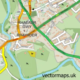
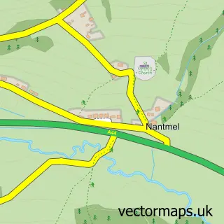
This Llansantffraed-Cwmdeuddwr street map is a detailed vector street map covering a 750m x 750m area. Select a larger area to create and download your own vector street map of Llansantffraed-Cwmdeuddwr.
The 750-metre map sample for Llansantffraed-Cwmdeuddwr covers 124 mapped buildings and approximately 10.8 km of road detail, of which 6 named roads are named. The immediate area includes 2 pubs and 3 MOT stations within 2 miles. The wider area around Llansantffraed-Cwmdeuddwr features 3 tourism points of interest, 3 food and drink venues and 1 hotel. To create a larger or custom map of Llansantffraed-Cwmdeuddwr, the map builder lets you define your own coverage area and download editable SVG, PDF and PNG files.
Create a larger editable map of Llansantffraed-Cwmdeuddwr
Choose any area you need and generate a high-quality vector map instantly. Perfect for print, planning, design, business and personal use.

This Llansantffraed-Cwmdeuddwr street map in Powys is available as downloadable SVG, PDF and PNG map files, or as a printed map for planning, business, display, education, local information and design work. You can also create a larger custom map area using the map selector.
What this Llansantffraed-Cwmdeuddwr map sample shows
Llansantffraed-Cwmdeuddwr lies within Rhayader Community parish, part of Rhayader ward in the Powys - Powys local authority area. The postcode geography for this area includes the LD postcode area, the LD6 postcode district and the LD6 5 postcode sector. Residents fall under the Powys Teaching Health Board for NHS services.
Local features near Llansantffraed-Cwmdeuddwr
Within 2 milesAmenities and services in and around Llansantffraed-Cwmdeuddwr.
Administrative and postcode information for Llansantffraed-Cwmdeuddwr
Llansantffraed-Cwmdeuddwr lies within Rhayader Community parish, part of Rhayader ward in the Powys - Powys local authority area. The postcode geography for this area includes the LD postcode area, the LD6 postcode district and the LD6 5 postcode sector. Residents fall under the Powys Teaching Health Board for NHS services.
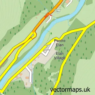
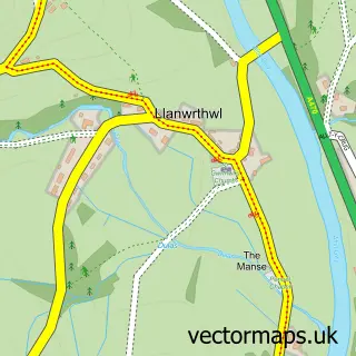
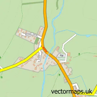
Nearby street map samples around Llansantffraed-Cwmdeuddwr


More street maps in Powys
750 metre map area coverage
Boundary, postcode and point of interest information for the 750m x 750m rectangle centred on this sample map.
Boundaries containing map centre
Constituency: Brecon, Radnor and Cwm Tawe Co Const
District: Powys - Powys
Icb: Powys Teaching
Parish: Rhayader Community
Police Force: dyfed-powys
Postcode District: LD6
Postcode Sector: LD6 5
Nearby boundaries intersecting sample
No additional intersecting boundaries found.
Postcode coverage
POI category counts
Park: 2
Pub: 2
Barber: 1
Cafe: 1
Castle: 1
Church Cathedral: 1
Holiday Rental Home: 1
Hotel: 1
Monument: 1
Professional Services: 1
Sample points of interest
- Ty Barbwr
- The Lost ARC
- Rhayader Castle
- Living Waters Community Church
- Rock Cottage Holiday Let
- Mid Wales Holiday Lets
- B Lloyd & Son
- Gro Park, Rhayader
- Waun Capel Wildlife Walk
- Tŷ Penbont
- The Triangle Inn
- Triangle Inn
Create a larger editable map of Llansantffraed-Cwmdeuddwr
This sample shows only a 750 metre area. To create a larger map of Llansantffraed-Cwmdeuddwr, use our map builder to choose your own coverage area, add titles and download editable SVG, PDF and PNG files.
Create a custom map of Llansantffraed-Cwmdeuddwr