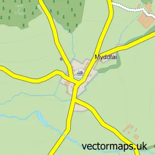
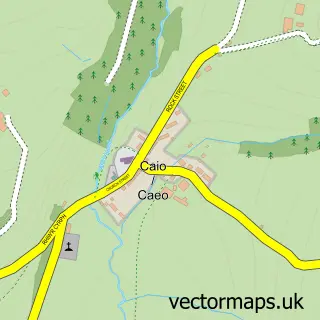
This Llanwrda street map is a detailed vector street map covering a 750m x 750m area. Select a larger area to create and download your own vector street map of Llanwrda.
The 750-metre map sample for Llanwrda covers 134 mapped buildings and approximately 12.9 km of road detail, of which 3 named roads are named. The wider area around Llanwrda features 2 campsites within 2 miles. To create a larger or custom map of Llanwrda, the map builder lets you define your own coverage area and download editable SVG, PDF and PNG files.
Create a larger editable map of Llanwrda
Choose any area you need and generate a high-quality vector map instantly. Perfect for print, planning, design, business and personal use.

This Llanwrda street map in Dyfed is available as downloadable SVG, PDF and PNG map files, or as a printed map for planning, business, display, education, local information and design work. You can also create a larger custom map area using the map selector.
What this Llanwrda map sample shows
Llanwrda lies within Llanwrda Community parish, part of Cilycwm ward in the Sir Gaerfyrddin - Carmarthenshire local authority area. The postcode geography for this area includes the SA postcode area, the SA19 postcode district and the SA19 8 postcode sector. Residents fall under the Hywel Dda University Health Board for NHS services.
Local features near Llanwrda
Within 2 milesAmenities and services in and around Llanwrda.
Administrative and postcode information for Llanwrda
Llanwrda lies within Llanwrda Community parish, part of Cilycwm ward in the Sir Gaerfyrddin - Carmarthenshire local authority area. The postcode geography for this area includes the SA postcode area, the SA19 postcode district and the SA19 8 postcode sector. Residents fall under the Hywel Dda University Health Board for NHS services.
Nearby street map samples around Llanwrda

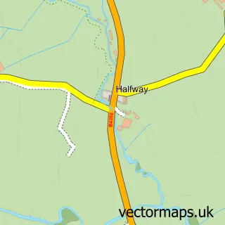
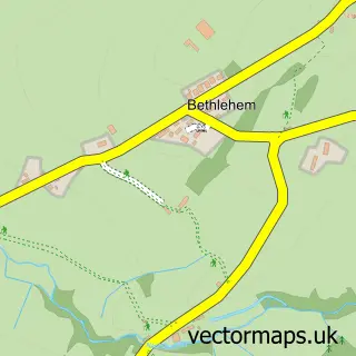
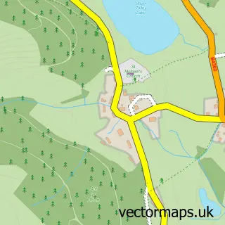
More street maps in Dyfed
750 metre map area coverage
Boundary, postcode and point of interest information for the 750m x 750m rectangle centred on this sample map.
Boundaries containing map centre
Constituency: Caerfyrddin Co Const
District: Sir Gaerfyrddin - Carmarthenshire
Icb: Hywel Dda
Parish: Llanwrda Community
Police Force: dyfed-powys
Postcode District: SA19
Postcode Sector: SA19 8
Nearby boundaries intersecting sample
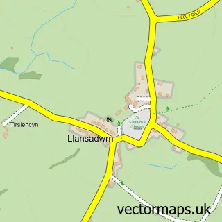
Parish: Llansadwrn Community
Postcode coverage
POI category counts
Bakery: 1
Bed And Breakfast: 1
Building Supply Store: 1
Church Cathedral: 1
Courier And Delivery Services: 1
Hotel Bar: 1
Parking: 1
Professional Services: 1
Sample points of interest
- Enchanting Cakes
- The Dolaucothi Arms
- Adeilad Claddings
- Llanwrda Church
- Evri ParcelShop
- Croes Y Ceiliog Inn
- W J Rees & Son
- Ieuan Jones Photo Restorer-www.cwrtphotorestoring.com
Create a larger editable map of Llanwrda
This sample shows only a 750 metre area. To create a larger map of Llanwrda, use our map builder to choose your own coverage area, add titles and download editable SVG, PDF and PNG files.
Create a custom map of Llanwrda