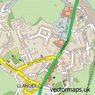
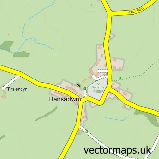
This Manordeilo street map is a detailed vector street map covering a 750m x 750m area. Select a larger area to create and download your own vector street map of Manordeilo.
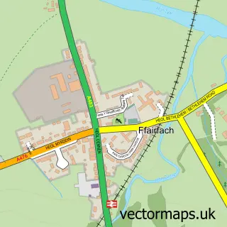
The 750-metre map sample for Manordeilo covers 61 mapped buildings and approximately 9.5 km of road detail, of which 1 named road are named. The wider area around Manordeilo features 1 campsite within 2 miles. To create a larger or custom map of Manordeilo, the map builder lets you define your own coverage area and download editable SVG, PDF and PNG files.
Create a larger editable map of Manordeilo
Choose any area you need and generate a high-quality vector map instantly. Perfect for print, planning, design, business and personal use.

This Manordeilo street map in Dyfed is available as downloadable SVG, PDF and PNG map files, or as a printed map for planning, business, display, education, local information and design work. You can also create a larger custom map area using the map selector.
What this Manordeilo map sample shows
Manordeilo lies within Manordeilo And Salem Community parish, part of Manordeilo And Salem ward in the Sir Gaerfyrddin - Carmarthenshire local authority area. The postcode geography for this area includes the SA postcode area, the SA19 postcode district and the SA19 7 postcode sector. Residents fall under the Hywel Dda University Health Board for NHS services.
Local features near Manordeilo
Within 2 milesAmenities and services in and around Manordeilo.
Administrative and postcode information for Manordeilo
Manordeilo lies within Manordeilo And Salem Community parish, part of Manordeilo And Salem ward in the Sir Gaerfyrddin - Carmarthenshire local authority area. The postcode geography for this area includes the SA postcode area, the SA19 postcode district and the SA19 7 postcode sector. Residents fall under the Hywel Dda University Health Board for NHS services.
Nearby street map samples around Manordeilo

More street maps in Dyfed
750 metre map area coverage
Boundary, postcode and point of interest information for the 750m x 750m rectangle centred on this sample map.
Boundaries containing map centre
Constituency: Caerfyrddin Co Const
District: Sir Gaerfyrddin - Carmarthenshire
Icb: Hywel Dda
Parish: Manordeilo and Salem Community
Police Force: dyfed-powys
Postcode District: SA19
Postcode Sector: SA19 7
Nearby boundaries intersecting sample
No additional intersecting boundaries found.
Postcode coverage
POI category counts
Bed And Breakfast: 2
Day Care Preschool: 1
Equestrian Facility: 1
Sample points of interest
- Blaen Y Garn
- Blaen-y-garn Bed & Breakfast
- Meithrinfa Twts Tywi Nursery
- Morgan Equine
Create a larger editable map of Manordeilo
This sample shows only a 750 metre area. To create a larger map of Manordeilo, use our map builder to choose your own coverage area, add titles and download editable SVG, PDF and PNG files.
Create a custom map of Manordeilo