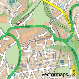
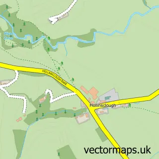
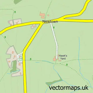
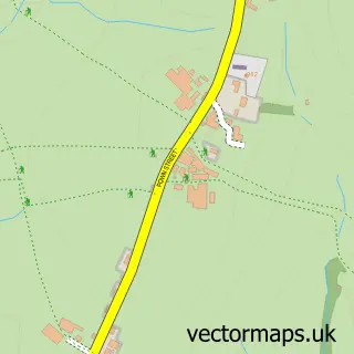
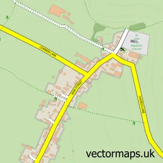
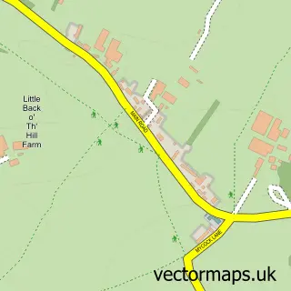
This Longnor street map is a detailed vector street map covering a 750m x 750m area. Select a larger area to create and download your own vector street map of Longnor.
The 750-metre map sample for Longnor covers 121 mapped buildings and approximately 18.6 km of road detail, of which 11 named roads are named. The immediate area includes 1 school, 2 pubs and 2 MOT stations within 2 miles. The wider area around Longnor features 1 tourism point of interest, 3 food and drink venues and 3 hotels. To create a larger or custom map of Longnor, the map builder lets you define your own coverage area and download editable SVG, PDF and PNG files.
Create a larger editable map of Longnor
Choose any area you need and generate a high-quality vector map instantly. Perfect for print, planning, design, business and personal use.

This Longnor street map in Staffordshire is available as downloadable SVG, PDF and PNG map files, or as a printed map for planning, business, display, education, local information and design work. You can also create a larger custom map area using the map selector.
What this Longnor map sample shows
Longnor lies within Longnor Cp parish, part of Manifold ward in the Staffordshire Moorlands District local authority area. The postcode geography for this area includes the SK postcode area, the SK17 postcode district and the SK17 0 postcode sector. Residents fall under the Nhs Staffordshire And Stoke-On-Trent Integrated Care Board for NHS services.
Local features near Longnor
Within 2 milesAmenities and services in and around Longnor.
Administrative and postcode information for Longnor
Longnor lies within Longnor Cp parish, part of Manifold ward in the Staffordshire Moorlands District local authority area. The postcode geography for this area includes the SK postcode area, the SK17 postcode district and the SK17 0 postcode sector. Residents fall under the Nhs Staffordshire And Stoke-On-Trent Integrated Care Board for NHS services.
Nearby street map samples around Longnor

More street maps in Staffordshire
750 metre map area coverage
Boundary, postcode and point of interest information for the 750m x 750m rectangle centred on this sample map.
Boundaries containing map centre
Constituency: Staffordshire Moorlands Co Const
County: Staffordshire County
District: Staffordshire Moorlands District
Icb: NHS Staffordshire and Stoke-on-Trent ICB
Parish: Longnor CP
Police Force: staffordshire
Postcode District: SK17
Postcode Sector: SK17 0
Ward: Manifold Ward
Nearby boundaries intersecting sample
Parish: Heathylee CP
Ward: Dane Ward
Postcode coverage
POI category counts
Church Cathedral: 3
Hotel: 3
Holiday Rental Home: 2
Pub: 2
Accommodation: 1
Anglican Church: 1
Beauty Salon: 1
Cafe: 1
Campground: 1
Candy Store: 1
Sample points of interest
- Longnor Village
- St. Bartholomew's, Longnor
- The Inner Sanctuary
- The Moorland Cafe
- Huts in the Peak
- Sweetilicious Sweet Shop
- Church View, Longnor
- Longnor Benefice churches
- St Bartholomew's Church
- Longnor General Store
- Jack's Cottage
- Robert Hill Electrical Services
Create a larger editable map of Longnor
This sample shows only a 750 metre area. To create a larger map of Longnor, use our map builder to choose your own coverage area, add titles and download editable SVG, PDF and PNG files.
Create a custom map of Longnor