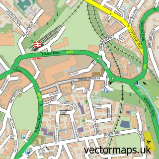
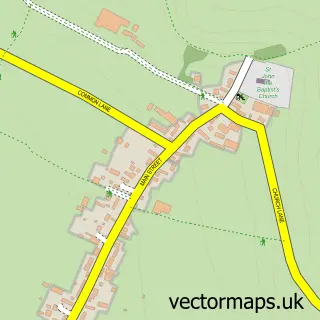
This Hollinsclough street map is a detailed vector street map covering a 750m x 750m area. Select a larger area to create and download your own vector street map of Hollinsclough.
The 750-metre map sample for Hollinsclough covers 27 mapped buildings and approximately 6.7 km of road detail, of which 1 named road are named. The immediate area includes 1 school and 2 MOT stations within 2 miles. The wider area around Hollinsclough features 1 campsite within 2 miles. To create a larger or custom map of Hollinsclough, the map builder lets you define your own coverage area and download editable SVG, PDF and PNG files.
Create a larger editable map of Hollinsclough
Choose any area you need and generate a high-quality vector map instantly. Perfect for print, planning, design, business and personal use.

This Hollinsclough street map in Staffordshire is available as downloadable SVG, PDF and PNG map files, or as a printed map for planning, business, display, education, local information and design work. You can also create a larger custom map area using the map selector.
What this Hollinsclough map sample shows
Hollinsclough lies within Hollinsclough Cp parish, part of Dane ward in the Staffordshire Moorlands District local authority area. The postcode geography for this area includes the SK postcode area, the SK17 postcode district and the SK17 0 postcode sector. Residents fall under the Nhs Staffordshire And Stoke-On-Trent Integrated Care Board for NHS services.
Local features near Hollinsclough
Within 2 milesAmenities and services in and around Hollinsclough.
Administrative and postcode information for Hollinsclough
The local authority covering Hollinsclough is Staffordshire Moorlands District, within the county of Staffordshire. The settlement lies within Dane ward and Hollinsclough Cp civil parish. The SK17 postcode district and SK17 0 postcode sector serve the immediate area. NHS provision in the area is delivered through University Hospitals Of North Midlands Nhs Trust.
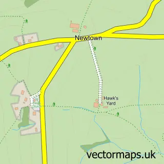
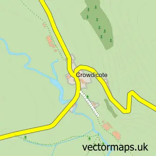
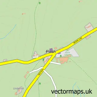
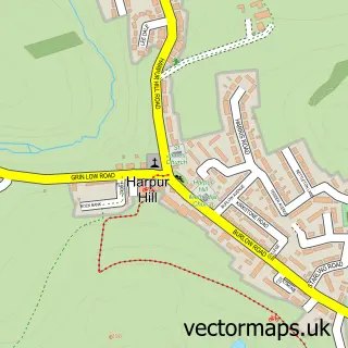
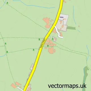
Nearby street map samples around Hollinsclough

More street maps in Staffordshire
750 metre map area coverage
Boundary, postcode and point of interest information for the 750m x 750m rectangle centred on this sample map.
Boundaries containing map centre
Constituency: Staffordshire Moorlands Co Const
County: Staffordshire County
District: Staffordshire Moorlands District
Icb: NHS Staffordshire and Stoke-on-Trent ICB
Parish: Hollinsclough CP
Police Force: staffordshire
Postcode District: SK17
Postcode Sector: SK17 0
Ward: Dane Ward
Nearby boundaries intersecting sample
Constituency: High Peak Co Const
County: Derbyshire County
District: High Peak District (B)
Icb: NHS Derby and Derbyshire ICB
Parish: Hartington Upper Quarter CP
Police Force: derbyshire
Ward: Burbage Ward
Postcode coverage
POI category counts
Church Cathedral: 1
Elementary School: 1
Retirement Home: 1
Tea Room: 1
Sample points of interest
- Hollinsclough Methodist Church and Hall
- Hollinsclough Church of England Primary School
- Hollinsclough Residential Centre
- Chapel Tearooms at Hollinsclough
Create a larger editable map of Hollinsclough
This sample shows only a 750 metre area. To create a larger map of Hollinsclough, use our map builder to choose your own coverage area, add titles and download editable SVG, PDF and PNG files.
Create a custom map of Hollinsclough