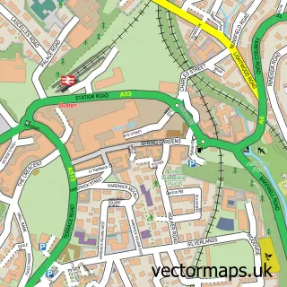
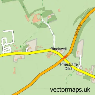
This Harpur Hill street map is a detailed vector street map covering a 750m x 750m area. Select a larger area to create and download your own vector street map of Harpur Hill.
The 750-metre map sample for Harpur Hill covers 212 mapped buildings and approximately 14.7 km of road detail, of which 18 named roads are named. The immediate area includes 2 GP surgeries within 2 miles, 2 pubs and 8 MOT stations within 2 miles. The wider area around Harpur Hill features 1 tourism point of interest, 2 food and drink venues and 1 campsite within 2 miles. To create a larger or custom map of Harpur Hill, the map builder lets you define your own coverage area and download editable SVG, PDF and PNG files.
Create a larger editable map of Harpur Hill
Choose any area you need and generate a high-quality vector map instantly. Perfect for print, planning, design, business and personal use.

This Harpur Hill street map in Derbyshire is available as downloadable SVG, PDF and PNG map files, or as a printed map for planning, business, display, education, local information and design work. You can also create a larger custom map area using the map selector.
What this Harpur Hill map sample shows
Harpur Hill lies within Derbyshire County parish, part of Cote Heath ward in the High Peak District (B) local authority area. The postcode geography for this area includes the SK postcode area, the SK17 postcode district and the SK17 9 postcode sector. Residents fall under the Nhs Derby And Derbyshire Integrated Care Board for NHS services.
Local features near Harpur Hill
Within 2 milesAmenities and services in and around Harpur Hill.
Administrative and postcode information for Harpur Hill
The local authority covering Harpur Hill is High Peak District (B), within the county of Derbyshire. The settlement lies within Cote Heath ward and Derbyshire County civil parish. The SK17 postcode district and SK17 9 postcode sector serve the immediate area. NHS provision in the area is delivered through Stockport Nhs Foundation Trust.
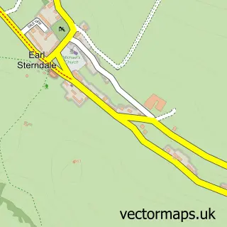
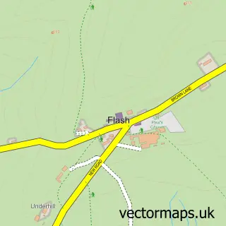
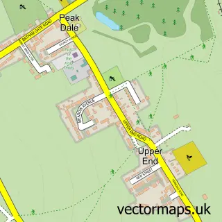
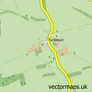
Nearby street map samples around Harpur Hill

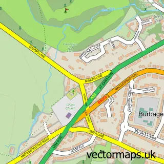
More street maps in Derbyshire
750 metre map area coverage
Boundary, postcode and point of interest information for the 750m x 750m rectangle centred on this sample map.
Boundaries containing map centre
Constituency: High Peak Co Const
County: Derbyshire County
District: High Peak District (B)
Icb: NHS Derby and Derbyshire ICB
Police Force: derbyshire
Postcode District: SK17
Postcode Sector: SK17 9
Ward: Cote Heath Ward
Nearby boundaries intersecting sample
Postcode Sector: SK17 6
Ward: Burbage Ward, Temple Ward
Postcode coverage
POI category counts
Pub: 2
Anglican Church: 1
Bar: 1
Community Center: 1
Convenience Store: 1
Fish And Chips Restaurant: 1
Landmark And Historical Building: 1
Massage Therapy: 1
Pest Control Service: 1
Printing Services: 1
Sample points of interest
- St James, Harpur Hill
- The Hoffman Bar
- Harpur Hill Village Hall
- Harpur Stores
- Harpur's Plaice
- Harpur Hill
- massage by Jason
- Peak Pest Control
- St John Ambulance Buxton Division
- Sandra Orme Pastel Originals
- Parks Inn
- The Parks Inn
Create a larger editable map of Harpur Hill
This sample shows only a 750 metre area. To create a larger map of Harpur Hill, use our map builder to choose your own coverage area, add titles and download editable SVG, PDF and PNG files.
Create a custom map of Harpur Hill