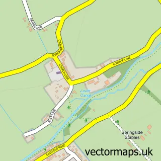
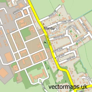
This Louth street map is a detailed vector street map covering a 750m x 750m area. Select a larger area to create and download your own vector street map of Louth.
The 750-metre map sample for Louth covers 499 mapped buildings and approximately 20.9 km of road detail, of which 66 named roads are named. The immediate area includes 1 school, 1 GP surgery, with 2 within 2 miles, 16 pubs and 11 MOT stations within 2 miles. The wider area around Louth features 3 tourism points of interest, 41 food and drink venues and 1 hotel. To create a larger or custom map of Louth, the map builder lets you define your own coverage area and download editable SVG, PDF and PNG files.
Create a larger editable map of Louth
Choose any area you need and generate a high-quality vector map instantly. Perfect for print, planning, design, business and personal use.

This Louth street map in Lincolnshire is available as downloadable SVG, PDF and PNG map files, or as a printed map for planning, business, display, education, local information and design work. You can also create a larger custom map area using the map selector.
What this Louth map sample shows
Louth lies within Louth Cp parish, part of St Mary's ward in the East Lindsey District local authority area. The postcode geography for this area includes the LN postcode area, the LN11 postcode district and the LN11 9 postcode sector. Residents fall under the Nhs Lincolnshire Integrated Care Board for NHS services.
Local features near Louth
Within 2 milesAmenities and services in and around Louth.
Administrative and postcode information for Louth
Louth lies within Louth Cp parish, part of St Mary's ward in the East Lindsey District local authority area. The postcode geography for this area includes the LN postcode area, the LN11 postcode district and the LN11 9 postcode sector. Residents fall under the Nhs Lincolnshire Integrated Care Board for NHS services.
Nearby street map samples around Louth

More street maps in Lincolnshire
750 metre map area coverage
Boundary, postcode and point of interest information for the 750m x 750m rectangle centred on this sample map.
Boundaries containing map centre
Constituency: Louth and Horncastle Co Const
County: Lincolnshire County
District: East Lindsey District
Icb: NHS Lincolnshire ICB
Parish: Louth CP
Police Force: lincolnshire
Postcode District: LN11
Postcode Sector: LN11 9
Ward: Priory & St. James' Ward
Nearby boundaries intersecting sample
Postcode Sector: LN11 0
Ward: North Holme Ward, St. Mary's Ward
Postcode coverage
POI category counts
Beauty Salon: 25
Clothing Store: 19
Hair Salon: 19
Pub: 16
Cafe: 14
Real Estate Agent: 11
Dentist: 10
Bakery: 9
Flowers And Gifts Shop: 9
Professional Services: 9
Sample points of interest
- Duncan & Toplis
- L A Clover Bookkeeping
- Weaver Wroot
- Handley Omaas
- Natura Therapies
- St James, Louth
- St Michael and All Angels, Louth
- Andrew Leonard Antiques
- Brocklebank Reclaims Ltd the shop . Brocklebank reclaims the salvage yard
- Louth Brocante
- Old Coach House Antique Centre
- Old Maltings Anitque Centre
Create a larger editable map of Louth
This sample shows only a 750 metre area. To create a larger map of Louth, use our map builder to choose your own coverage area, add titles and download editable SVG, PDF and PNG files.
Create a custom map of Louth