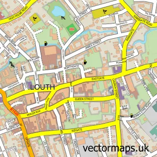
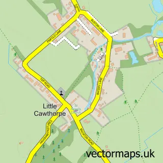
This Manby street map is a detailed vector street map covering a 750m x 750m area. Select a larger area to create and download your own vector street map of Manby.
The 750-metre map sample for Manby covers 280 mapped buildings and approximately 12.0 km of road detail, of which 18 named roads are named. The immediate area includes 1 MOT station, with 2 within 2 miles. The wider area around Manby features 1 food and drink venue. To create a larger or custom map of Manby, the map builder lets you define your own coverage area and download editable SVG, PDF and PNG files.
Create a larger editable map of Manby
Choose any area you need and generate a high-quality vector map instantly. Perfect for print, planning, design, business and personal use.

This Manby street map in Lincolnshire is available as downloadable SVG, PDF and PNG map files, or as a printed map for planning, business, display, education, local information and design work. You can also create a larger custom map area using the map selector.
What this Manby map sample shows
Manby lies within Manby Cp parish, part of Grimoldby ward in the East Lindsey District local authority area. The postcode geography for this area includes the LN postcode area, the LN11 postcode district and the LN11 8 postcode sector. Residents fall under the Nhs Lincolnshire Integrated Care Board for NHS services.
Local features near Manby
Within 2 milesAmenities and services in and around Manby.
Administrative and postcode information for Manby
Manby lies within Manby Cp parish, part of Grimoldby ward in the East Lindsey District local authority area. The postcode geography for this area includes the LN postcode area, the LN11 postcode district and the LN11 8 postcode sector. Residents fall under the Nhs Lincolnshire Integrated Care Board for NHS services.
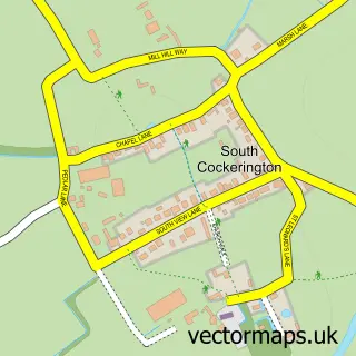
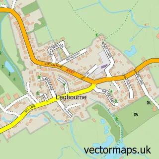
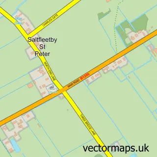
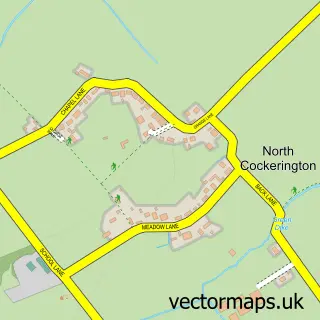
Nearby street map samples around Manby

More street maps in Lincolnshire
750 metre map area coverage
Boundary, postcode and point of interest information for the 750m x 750m rectangle centred on this sample map.
Boundaries containing map centre
Constituency: Louth and Horncastle Co Const
County: Lincolnshire County
District: East Lindsey District
Icb: NHS Lincolnshire ICB
Parish: Manby CP
Police Force: lincolnshire
Postcode District: LN11
Postcode Sector: LN11 8
Ward: Grimoldby Ward
Nearby boundaries intersecting sample
No additional intersecting boundaries found.
Postcode coverage
POI category counts
Lighting Store: 3
Church Cathedral: 2
Mattress Store: 2
Office Cleaning: 2
Pet Boarding: 2
Auto Upholstery: 1
Automotive Repair: 1
Beauty Salon: 1
Building Supply Store: 1
Butcher Shop: 1
Sample points of interest
- Seats UK
- Unipart Car Care Centre
- Trinity's hair salon
- Lincolnshire Reclamation
- Manby Meat & Fish
- Mimi's Mission Cafe and Community Centre
- Mimi's Mission, Incorporating Mimi's Youth & Community Centre
- The Church of Jesus Christ of Latter-day Saints
- The Church of Jesus Christ of Latter-day Saints
- Universal Highways Ltd
- Lindsey Marsh Drainage Board
- Marsh Medical Practice
Create a larger editable map of Manby
This sample shows only a 750 metre area. To create a larger map of Manby, use our map builder to choose your own coverage area, add titles and download editable SVG, PDF and PNG files.
Create a custom map of Manby