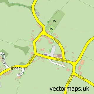
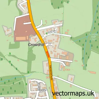
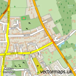
This Lower Upham street map is a detailed vector street map covering a 750m x 750m area. Select a larger area to create and download your own vector street map of Lower Upham.
The 750-metre map sample for Lower Upham covers 166 mapped buildings and approximately 13.1 km of road detail, of which 7 named roads are named. The immediate area includes 3 pubs and 1 MOT station within 2 miles. The wider area around Lower Upham features 3 food and drink venues. To create a larger or custom map of Lower Upham, the map builder lets you define your own coverage area and download editable SVG, PDF and PNG files.
Create a larger editable map of Lower Upham
Choose any area you need and generate a high-quality vector map instantly. Perfect for print, planning, design, business and personal use.

This Lower Upham street map in Hampshire is available as downloadable SVG, PDF and PNG map files, or as a printed map for planning, business, display, education, local information and design work. You can also create a larger custom map area using the map selector.
What this Lower Upham map sample shows
Lower Upham lies within Upham Cp parish, part of Upper Meon Valley ward in the Winchester District (B) local authority area. The postcode geography for this area includes the SO postcode area, the SO32 postcode district and the SO32 1 postcode sector. Residents fall under the Nhs Hampshire And Isle Of Wight Integrated Care Board for NHS services.
Local features near Lower Upham
Within 2 milesAmenities and services in and around Lower Upham.
Administrative and postcode information for Lower Upham
Lower Upham lies within Upham Cp parish, part of Upper Meon Valley ward in the Winchester District (B) local authority area. The postcode geography for this area includes the SO postcode area, the SO32 postcode district and the SO32 1 postcode sector. Residents fall under the Nhs Hampshire And Isle Of Wight Integrated Care Board for NHS services.
Nearby street map samples around Lower Upham
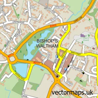

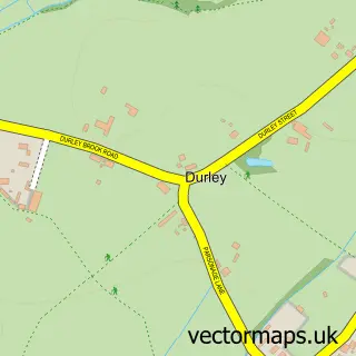
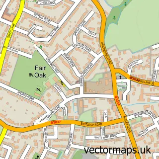
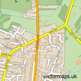
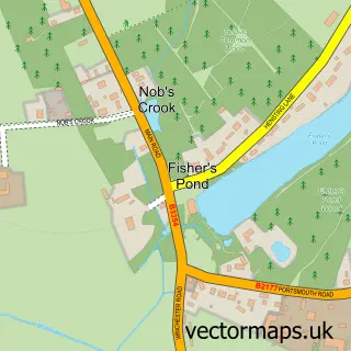
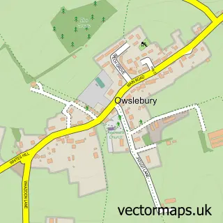
More street maps in Hampshire
750 metre map area coverage
Boundary, postcode and point of interest information for the 750m x 750m rectangle centred on this sample map.
Boundaries containing map centre
Constituency: Winchester Co Const
County: Hampshire County
District: Winchester District (B)
Icb: NHS Hampshire and Isle of Wight ICB
Parish: Upham CP
Police Force: hampshire
Postcode District: SO32
Postcode Sector: SO32 1
Ward: Upper Meon Valley Ward
Nearby boundaries intersecting sample
Constituency: Eastleigh Boro Const
District: Eastleigh District (B)
Parish: Fair Oak and Horton Heath CP
Ward: Fair Oak & Horton Heath Ward
Postcode coverage
POI category counts
Pub: 3
Antique Store: 2
Bicycle Shop: 2
Agriculture: 1
Automotive Repair: 1
Beauty Salon: 1
Business Manufacturing And Supply: 1
Carpenter: 1
Convenience Store: 1
Day Care Preschool: 1
Sample points of interest
- Cooper Forestry LTD
- Amber Antiques
- Amber Antiques
- Marquis Motor Homes
- Heavenly Too Beauty Salon
- Vankru
- Vankru Cycling
- Philspace Ltd
- The Cottage Workshop
- Mace
- Parrywood Childcare
- Sustainable Acoustics
Create a larger editable map of Lower Upham
This sample shows only a 750 metre area. To create a larger map of Lower Upham, use our map builder to choose your own coverage area, add titles and download editable SVG, PDF and PNG files.
Create a custom map of Lower Upham