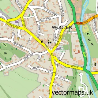
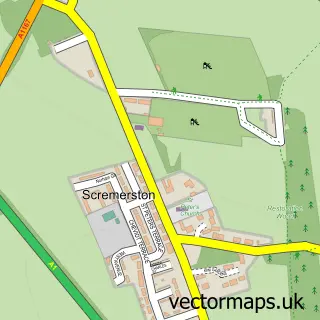
This Lowick street map is a detailed vector street map covering a 750m x 750m area. Select a larger area to create and download your own vector street map of Lowick.
The 750-metre map sample for Lowick covers 106 mapped buildings and approximately 16.4 km of road detail, of which 10 named roads are named. The immediate area includes 1 school and 1 MOT station. The wider area around Lowick features 2 hotels. To create a larger or custom map of Lowick, the map builder lets you define your own coverage area and download editable SVG, PDF and PNG files.
Create a larger editable map of Lowick
Choose any area you need and generate a high-quality vector map instantly. Perfect for print, planning, design, business and personal use.

This Lowick street map in Northumberland is available as downloadable SVG, PDF and PNG map files, or as a printed map for planning, business, display, education, local information and design work. You can also create a larger custom map area using the map selector.
What this Lowick map sample shows
Lowick lies within Lowick Cp parish, part of Norham And Islandshires ward in the Northumberland local authority area. The postcode geography for this area includes the TD postcode area, the TD15 postcode district and the TD15 2 postcode sector. Residents fall under the Nhs North East And North Cumbria Integrated Care Board for NHS services.
Local features near Lowick
Within 2 milesAmenities and services in and around Lowick.
Administrative and postcode information for Lowick
The local authority covering Lowick is Northumberland, within the county of Northumberland. The settlement lies within Norham And Islandshires ward and Lowick Cp civil parish. The TD15 postcode district and TD15 2 postcode sector serve the immediate area. NHS provision in the area is delivered through Northumbria Healthcare Nhs Foundation Trust.
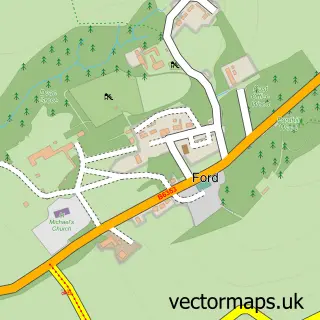
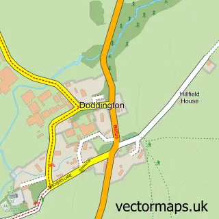
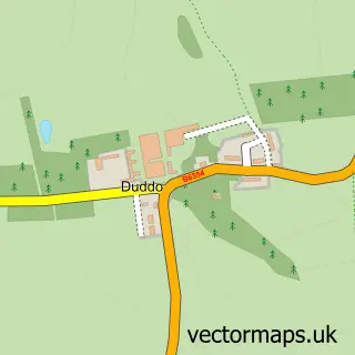
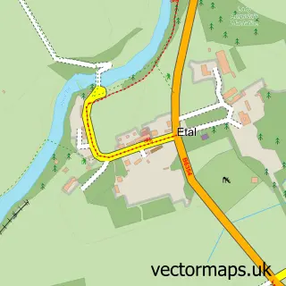
Nearby street map samples around Lowick

More street maps in Northumberland
750 metre map area coverage
Boundary, postcode and point of interest information for the 750m x 750m rectangle centred on this sample map.
Boundaries containing map centre
Constituency: North Northumberland Co Const
District: Northumberland
Icb: NHS North East and North Cumbria ICB
Parish: Lowick CP
Police Force: northumberland
Postcode District: TD15
Postcode Sector: TD15 2
Nearby boundaries intersecting sample
No additional intersecting boundaries found.
Postcode coverage
POI category counts
Bed And Breakfast: 4
Holiday Rental Home: 2
Hotel: 2
Inn: 2
Anglican Church: 1
Art Gallery: 1
Automotive Repair: 1
Building Supply Store: 1
Catholic Church: 1
Community Center: 1
Sample points of interest
- St John the Baptist, Lowick
- Jane Harbottle
- Bookless Motors Ltd
- Angel Cottage B&B
- Burn-house Bed & Breakfast
- Ford Village Bed & Breakfast
- Primrose Cottage
- John Fiddes
- Lowick Parish Church
- Lowick Village Hall
- Lowick Village Store
- Lindisfarne Cottage & Hot Tub, Lowick
Create a larger editable map of Lowick
This sample shows only a 750 metre area. To create a larger map of Lowick, use our map builder to choose your own coverage area, add titles and download editable SVG, PDF and PNG files.
Create a custom map of Lowick