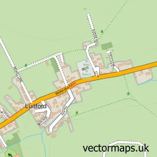
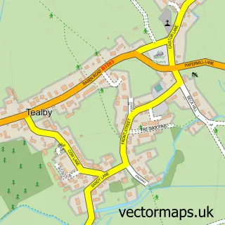
This Ludford Parva street map is a detailed vector street map covering a 750m x 750m area. Select a larger area to create and download your own vector street map of Ludford Parva.
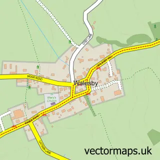
The 750-metre map sample for Ludford Parva covers 145 mapped buildings and approximately 6.3 km of road detail, of which 10 named roads are named. The wider area around Ludford Parva features 1 food and drink venue. To create a larger or custom map of Ludford Parva, the map builder lets you define your own coverage area and download editable SVG, PDF and PNG files.
Create a larger editable map of Ludford Parva
Choose any area you need and generate a high-quality vector map instantly. Perfect for print, planning, design, business and personal use.

This Ludford Parva street map in Lincolnshire is available as downloadable SVG, PDF and PNG map files, or as a printed map for planning, business, display, education, local information and design work. You can also create a larger custom map area using the map selector.
What this Ludford Parva map sample shows
Ludford Parva lies within Ludford Cp parish, part of Binbrook ward in the East Lindsey District local authority area. The postcode geography for this area includes the LN postcode area, the LN8 postcode district and the LN8 6 postcode sector. Residents fall under the Nhs Lincolnshire Integrated Care Board for NHS services.
Local features near Ludford Parva
Within 2 milesAmenities and services in and around Ludford Parva.
Administrative and postcode information for Ludford Parva
The local authority covering Ludford Parva is East Lindsey District, within the county of Lincolnshire. The settlement lies within Binbrook ward and Ludford Cp civil parish. The LN8 postcode district and LN8 6 postcode sector serve the immediate area. NHS provision in the area is delivered through United Lincolnshire Hospitals Nhs Trust.
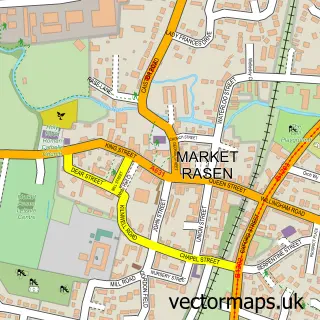
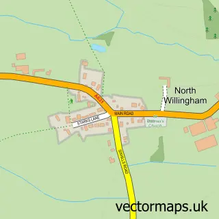
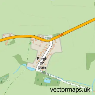
Nearby street map samples around Ludford Parva

More street maps in Lincolnshire
750 metre map area coverage
Boundary, postcode and point of interest information for the 750m x 750m rectangle centred on this sample map.
Boundaries containing map centre
Constituency: Louth and Horncastle Co Const
County: Lincolnshire County
District: East Lindsey District
Icb: NHS Lincolnshire ICB
Parish: Ludford CP
Police Force: lincolnshire
Postcode District: LN8
Postcode Sector: LN8 6
Ward: Binbrook Ward
Nearby boundaries intersecting sample
No additional intersecting boundaries found.
Postcode coverage
POI category counts
Auto Body Shop: 1
Bar: 1
Carpenter: 1
Coffee Shop: 1
Commercial Industrial: 1
Counseling And Mental Health: 1
Elementary School: 1
Metal Fabricator: 1
Travel Services: 1
Sample points of interest
- Deux Chevaux Lincs
- The viking way garden café & gift shop
- N B Window Systems
- Viking Way Coffee House
- Nonex
- Therapy Works 4 U
- Ludford C of E Primary School
- Samson products ltd
- Complete Tours
Create a larger editable map of Ludford Parva
This sample shows only a 750 metre area. To create a larger map of Ludford Parva, use our map builder to choose your own coverage area, add titles and download editable SVG, PDF and PNG files.
Create a custom map of Ludford Parva