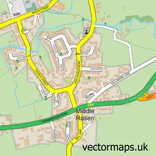
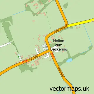
This Market Rasen street map is a detailed vector street map covering a 750m x 750m area. Select a larger area to create and download your own vector street map of Market Rasen.
The 750-metre map sample for Market Rasen covers 418 mapped buildings and approximately 15.0 km of road detail, of which 33 named roads are named. The immediate area includes 1 school, 1 GP surgery within 2 miles, 4 pubs and 2 MOT stations, with 5 within 2 miles. The wider area around Market Rasen features 1 tourism point of interest, 10 food and drink venues and 2 hotels. To create a larger or custom map of Market Rasen, the map builder lets you define your own coverage area and download editable SVG, PDF and PNG files.
Create a larger editable map of Market Rasen
Choose any area you need and generate a high-quality vector map instantly. Perfect for print, planning, design, business and personal use.

This Market Rasen street map in Lincolnshire is available as downloadable SVG, PDF and PNG map files, or as a printed map for planning, business, display, education, local information and design work. You can also create a larger custom map area using the map selector.
What this Market Rasen map sample shows
Market Rasen lies within Market Rasen Cp parish, part of Market Rasen ward in the West Lindsey District local authority area. The postcode geography for this area includes the LN postcode area, the LN8 postcode district and the LN8 3 postcode sector. Residents fall under the Nhs Lincolnshire Integrated Care Board for NHS services.
Local features near Market Rasen
Within 2 milesAmenities and services in and around Market Rasen.
Administrative and postcode information for Market Rasen
Market Rasen lies within Market Rasen Cp parish, part of Market Rasen ward in the West Lindsey District local authority area. The postcode geography for this area includes the LN postcode area, the LN8 postcode district and the LN8 3 postcode sector. Residents fall under the Nhs Lincolnshire Integrated Care Board for NHS services.
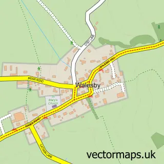
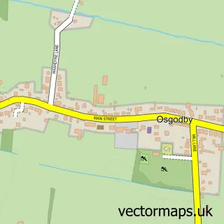
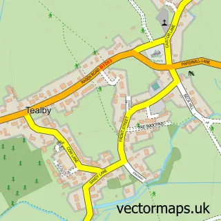
Nearby street map samples around Market Rasen

More street maps in Lincolnshire
750 metre map area coverage
Boundary, postcode and point of interest information for the 750m x 750m rectangle centred on this sample map.
Boundaries containing map centre
Constituency: Gainsborough Co Const
County: Lincolnshire County
District: West Lindsey District
Icb: NHS Lincolnshire ICB
Parish: Market Rasen CP
Police Force: lincolnshire
Postcode District: LN8
Postcode Sector: LN8 3
Ward: Market Rasen Ward
Nearby boundaries intersecting sample
Parish: Middle Rasen CP
Postcode coverage
POI category counts
Professional Services: 10
Banks: 6
Beauty Salon: 6
Flowers And Gifts Shop: 6
Dentist: 5
Automotive Repair: 4
Convenience Store: 4
Fish And Chips Restaurant: 4
Funeral Services And Cemeteries: 4
Pub: 4
Sample points of interest
- Cassells
- Nicholsons Chartered Accountants
- Little Big Designs
- Nickerson Seeds UK
- E-Quip Ltd
- Equip Global Supplies Ltd
- St Thomas', Market Rasen
- Hallsands Hidden Treasures
- J & a Dow Joinery Manufacturers
- Rasen Appliance Services
- Ryland Design
- Stitch Witch
Create a larger editable map of Market Rasen
This sample shows only a 750 metre area. To create a larger map of Market Rasen, use our map builder to choose your own coverage area, add titles and download editable SVG, PDF and PNG files.
Create a custom map of Market Rasen