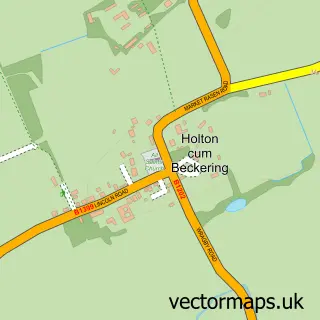
This Middle Rasen street map is a detailed vector street map covering a 750m x 750m area. Select a larger area to create and download your own vector street map of Middle Rasen.
The 750-metre map sample for Middle Rasen covers 362 mapped buildings and approximately 12.5 km of road detail, of which 20 named roads are named. The immediate area includes 1 school, 1 GP surgery within 2 miles, 1 pub and 5 MOT stations within 2 miles. The wider area around Middle Rasen features 1 food and drink venue and 2 campsites within 2 miles. To create a larger or custom map of Middle Rasen, the map builder lets you define your own coverage area and download editable SVG, PDF and PNG files.
Create a larger editable map of Middle Rasen
Choose any area you need and generate a high-quality vector map instantly. Perfect for print, planning, design, business and personal use.

This Middle Rasen street map in Lincolnshire is available as downloadable SVG, PDF and PNG map files, or as a printed map for planning, business, display, education, local information and design work. You can also create a larger custom map area using the map selector.
What this Middle Rasen map sample shows
Middle Rasen lies within Middle Rasen Cp parish, part of Market Rasen ward in the West Lindsey District local authority area. The postcode geography for this area includes the LN postcode area, the LN8 postcode district and the LN8 3 postcode sector. Residents fall under the Nhs Lincolnshire Integrated Care Board for NHS services.
Local features near Middle Rasen
Within 2 milesAmenities and services in and around Middle Rasen.
Administrative and postcode information for Middle Rasen
Middle Rasen lies within Middle Rasen Cp parish, part of Market Rasen ward in the West Lindsey District local authority area. The postcode geography for this area includes the LN postcode area, the LN8 postcode district and the LN8 3 postcode sector. Residents fall under the Nhs Lincolnshire Integrated Care Board for NHS services.
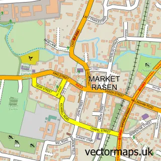
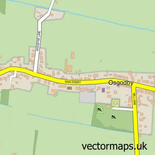
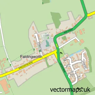
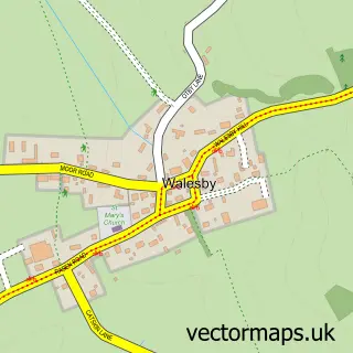
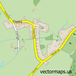
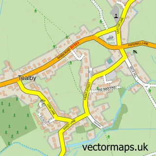
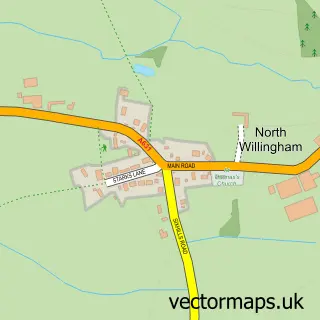
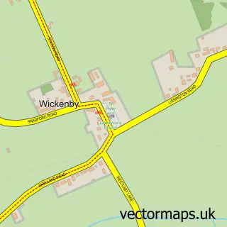
Nearby street map samples around Middle Rasen

More street maps in Lincolnshire
750 metre map area coverage
Boundary, postcode and point of interest information for the 750m x 750m rectangle centred on this sample map.
Boundaries containing map centre
Constituency: Gainsborough Co Const
County: Lincolnshire County
District: West Lindsey District
Icb: NHS Lincolnshire ICB
Parish: Middle Rasen CP
Police Force: lincolnshire
Postcode District: LN8
Postcode Sector: LN8 3
Ward: Market Rasen Ward
Nearby boundaries intersecting sample
No additional intersecting boundaries found.
Postcode coverage
POI category counts
Shipping Center: 2
Anglican Church: 1
Assisted Living Facility: 1
Beauty Salon: 1
Bicycle Shop: 1
Church Cathedral: 1
Clothing Store: 1
Community Services Non Profits: 1
Convenience Store: 1
Elementary School: 1
Sample points of interest
- St Peter & St Paul
- Middle Rasen Sheltered Housing Group
- Bespoke Beauty
- ReVolt Velo
- St Peter and St Paul Church
- Total-tees
- Market Rasen Lions Club
- Premier Cross Road Store
- Middle Rasen Primary School
- Middle Rasen Group Dwelling
- Ashfield Software Consultants
- Symmetry and Flex
Create a larger editable map of Middle Rasen
This sample shows only a 750 metre area. To create a larger map of Middle Rasen, use our map builder to choose your own coverage area, add titles and download editable SVG, PDF and PNG files.
Create a custom map of Middle Rasen